Download
Preview
Add to list
More
9.2 km
~2 hrs 2 min
126 m
Loop
“Explore serene countryside and historical landmarks on the delightful 9 km Bourne End and Bovingdon Loop.”
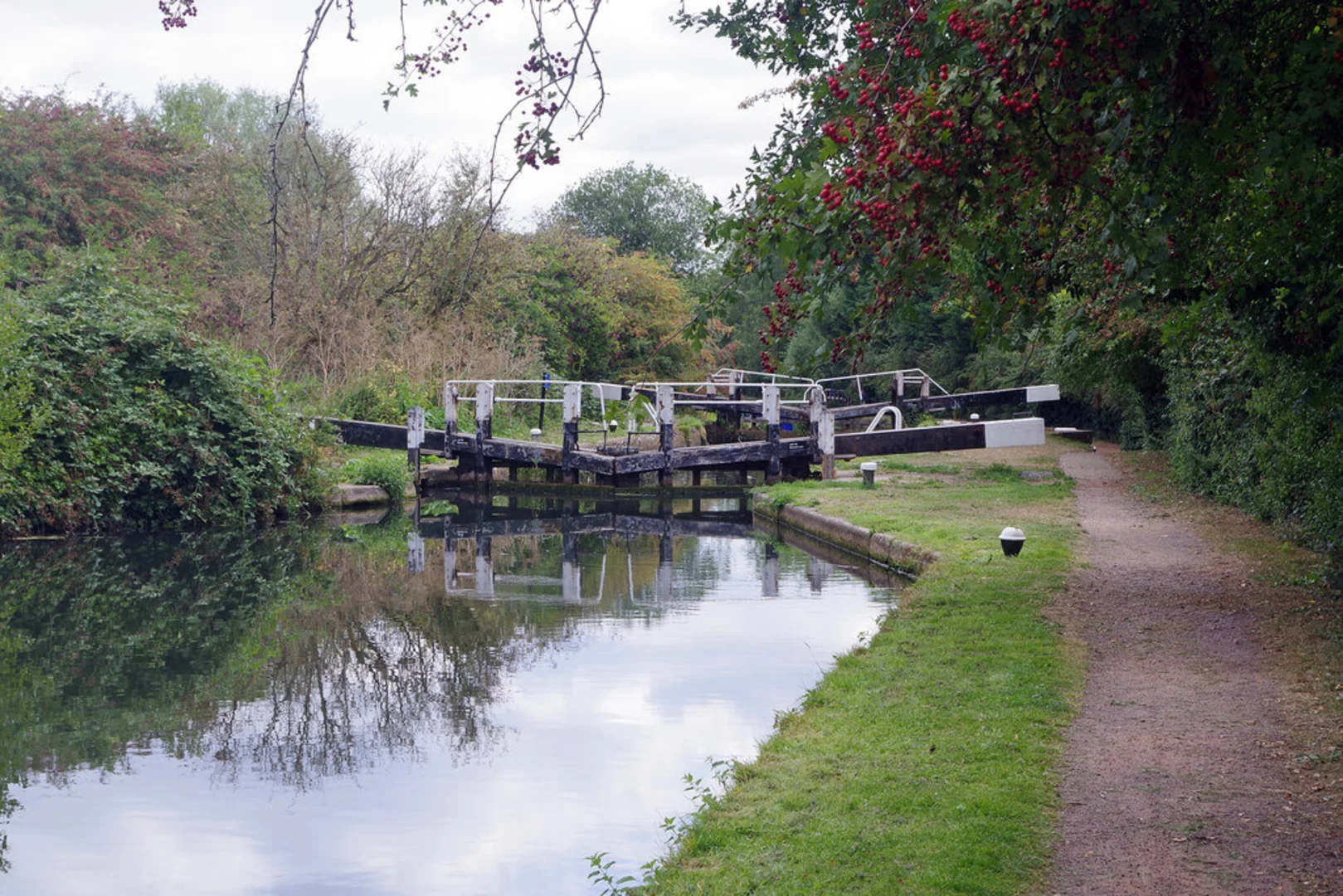
Starting near the picturesque village of Bourne End in Hertfordshire, England, the Bourne End and Bovingdon Loop is a delightful 9 km (approximately 5.6 miles) trail that offers a mix of serene countryside, historical landmarks, and gentle elevation changes. With an elevation gain of around 100 meters (328 feet), this loop trail is rated as medium difficulty, making it accessible for most hikers with a moderate level of fitness.
Getting There
To reach the trailhead, you can either drive or use public transport. If driving, set your GPS to Bourne End, Hertfordshire, and look for parking near the village center. For those using public transport, the nearest train station is Hemel Hempstead, which is well-connected to London Euston. From Hemel Hempstead, you can take a local bus or taxi to Bourne End.
Trail Navigation
For navigation, it is highly recommended to use the HiiKER app, which provides detailed maps and real-time updates to ensure you stay on track throughout your hike.
Trail Highlights
Bourne End Village
Starting from Bourne End, you'll immediately notice the charming English countryside ambiance. The village itself is worth a brief exploration, with its quaint cottages and traditional pubs.
Farmland and Woodlands
As you leave the village, the trail takes you through a mix of open farmland and dense woodlands. This section is relatively flat and offers a peaceful setting, perfect for spotting local wildlife such as deer, foxes, and a variety of bird species. Keep an eye out for ancient oak trees and hedgerows that are characteristic of the Hertfordshire landscape.
Bovingdon Airfield
Around the halfway mark, approximately 4.5 km (2.8 miles) into the hike, you'll come across the historical Bovingdon Airfield. Used during World War II, this airfield played a significant role in the Allied war effort. Today, it serves as a poignant reminder of the area's rich history. There are several information boards detailing the airfield's past, making it a great spot to take a break and soak in some history.
Elevation Gain
The trail features a gentle elevation gain of about 100 meters (328 feet), with the most significant climbs occurring as you approach and leave Bovingdon Airfield. These sections offer rewarding views of the surrounding countryside, especially on clear days.
Return to Bourne End
The final stretch of the loop brings you back towards Bourne End, passing through more farmland and small wooded areas. This section is relatively easy, allowing you to enjoy the last moments of your hike at a leisurely pace.
Practical Tips
- Footwear: Given the mix of terrains, sturdy hiking boots are recommended.
- Weather: Check the weather forecast before heading out, as the trail can become muddy after rain.
- Supplies: Bring enough water and snacks, as there are limited facilities along the route.
- Wildlife: Be respectful of the local wildlife and stick to the marked paths to minimize your impact on the environment.
This trail offers a wonderful blend of natural beauty and historical intrigue, making it a rewarding experience for any hiker.

What to expect?
Activity types
Comments and Reviews
User comments, reviews and discussions about the Bourne End and Bovingdon Loop, England.
4.5
average rating out of 5
4 rating(s)