
Download
3D Flyover
Add to list
More
4.9 km
~1 hrs 9 min
107 m
Loop
“Woodland shadows give way to sweeping horizons on this short, satisfying climb to May Hill’s pines.”
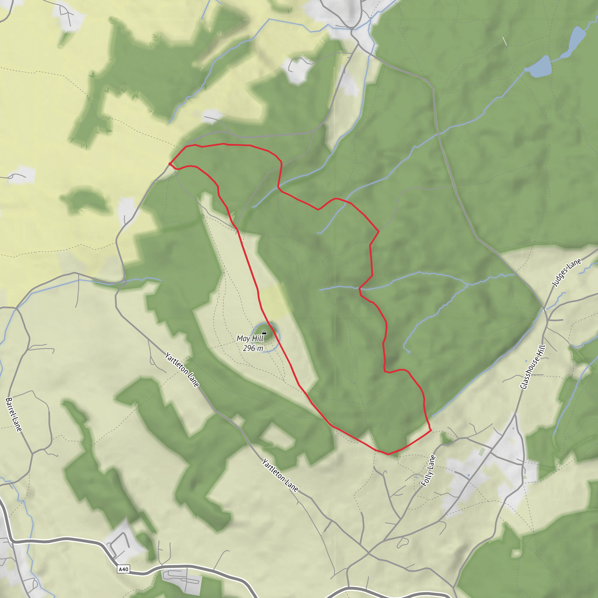
This is a compact but varied 5 km / 3.1 mile loop with roughly 100 m / 330 ft of ascent, giving it a solid medium feel despite the modest distance. The route combines woodland walking, a steady climb onto one of Gloucestershire’s best-known viewpoints, and a short stretch of open hilltop terrain before looping back through trees and quieter tracks. Expect a mix of forest paths, field-edge sections, and some uneven ground, especially where roots, leaf litter, mud, or worn footpaths can make footing less predictable after rain. The climb is not especially long, but it is enough to raise the effort level and make the route feel more substantial than the mileage suggests.
The walk is centered on May Hill near Huntley, Gloucestershire, a prominent landmark about 3 miles / 4.8 km from Newent and signposted from the A40 between Gloucester and Ross-on-Wye. The nearest widely recognized access point is May Hill, near Huntley, Gloucestershire, with the hill itself lying about 1 mile / 1.6 km west of Huntley and around 3 miles / 4.8 km from Junction 3 of the M50. The National Trust notes a very small car park with space for about five cars, so early arrival is wise, especially on weekends or in bluebell season. (nationaltrust.org.uk)
For hikers arriving by car, the simplest approach is via the A40, following local signs for May Hill. Because parking at the hill is limited, some walkers instead base themselves in Newent, where Lewell Street car park, GL18 1AN, is a known public parking option in the town centre. Newent is also a practical fallback if the hill car park is full. (nationaltrust.org.uk)
For public transport, Gloucester railway station is the main rail gateway mentioned for May Hill, about 10 miles / 16 km away, while Ledbury station is also about 10 miles / 16 km from Newent. From there, bus links serve Newent, and Gloucestershire’s Robin demand-responsive transport covers the Newent Zone, which can help with onward rural access where fixed-route services are limited. Because rural connections can be sparse and changeable, it is sensible to check current timings and plan the last leg carefully before setting out. (nationaltrust.org.uk)
What the route feels like on the ground
The opening section is usually the gentlest part of the day, easing you into the landscape through woodland margins and quieter tracks before the route begins to rise. Newent Woods and Hay Wood give the walk much of its character: enclosed, green, and atmospheric, with the path often weaving between mature trees and patches of undergrowth. In damp weather these woods can hold mud, and in autumn the combination of wet leaves and exposed roots can be slippery. Even on a short loop, waterproof footwear with decent grip is a good idea.
As the route climbs toward May Hill, the enclosed woodland feel starts to break open. The ascent is gradual enough for most regular walkers, but steep enough in places to get the heart rate up. With only around 100 m / 330 ft of total climbing, this is not a mountain outing, yet the hill gives the walk a satisfying sense of progression. The summit area is broad and open rather than craggy, so the reward comes from space and visibility rather than dramatic rock features.
At the top, May Hill’s most distinctive landmark is its clump of pine trees, visible from far across the surrounding countryside. The National Trust records that these pines were planted in 1887 to mark Queen Victoria’s Golden Jubilee, and the hill remains a traditional focus for May Day celebrations. The summit also carries two long-distance routes, the Gloucestershire Way and the Wysis Way, which adds to the sense that this small hill has an importance beyond its height. (nationaltrust.org.uk)
Views, nature and wildlife
For such a short circuit, the views are a major highlight. From the summit and upper slopes, sightlines can extend across the Malvern Hills, the Cotswold Hills, the Severn Vale, the Forest of Dean, Herefordshire, and the Black Mountains in clear weather. That broad panorama is one of the main reasons May Hill is so popular: it stands apart enough from surrounding ground to feel like a true viewpoint, even though the walk itself remains accessible. (nationaltrust.org.uk)
The hilltop habitat is also more interesting than it may first appear. The summit area includes **acid grassland, bracken, gorse
What to expect?
Surfaces
Unknown
Unpaved
Ground
Comments and Reviews
User comments, reviews and discussions about the May Hill, Newent Woods and Hay Wood Loop, England.
average rating out of 5
0 rating(s)
