Download
Preview
Add to list
More
6.9 km
~1 hrs 30 min
80 m
Loop
“Explore Mottisfont's scenic 7 km loop, rich in history, nature, and serene landscapes, perfect for adventurous hikers.”
Starting near the picturesque village of Mottisfont in Hampshire, England, this 7 km (approximately 4.3 miles) loop trail offers a delightful mix of natural beauty and historical intrigue. With no significant elevation gain, this trail is accessible to a wide range of hikers, though it is rated as medium difficulty due to some uneven terrain and potentially muddy sections after rain.
Getting There
To reach the trailhead, you can drive to Mottisfont, where parking is available near the Mottisfont Abbey. If you prefer public transport, the nearest train station is Mottisfont & Dunbridge, which is about a 15-minute walk from the trailhead. Buses also service the area, with stops close to the village center.
Trail Highlights
The trail begins near the historic Mottisfont Abbey, a National Trust property renowned for its beautiful gardens and medieval architecture. As you set off, you'll follow a well-marked path that meanders through lush woodlands and open fields, offering a serene escape into nature.
Historical Significance
The trail is part of the Monarch's Way, a long-distance footpath that traces the escape route taken by King Charles II after the Battle of Worcester in 1651. As you walk, imagine the historical footsteps you're following, adding a layer of depth to your hike.
Nature and Wildlife
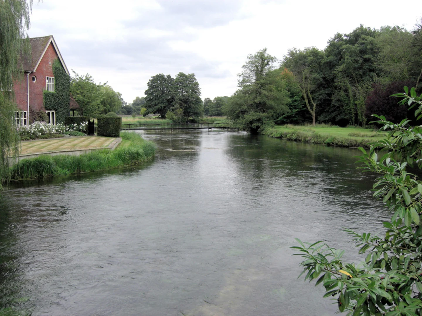
The area is rich in biodiversity. Keep an eye out for various bird species, including woodpeckers and kingfishers, especially near the River Test, which you will encounter about 2 km (1.2 miles) into the hike. The river is also home to otters and a variety of fish, making it a delightful spot for nature enthusiasts.
Landmarks and Points of Interest
Around the 3 km (1.9 miles) mark, you'll come across the charming village of Michelmersh. Here, you can take a short detour to visit the 12th-century St. Mary's Church, a quaint and peaceful spot perfect for a brief rest.
Continuing on, the trail loops back towards Mottisfont, passing through more woodland and open countryside. The final stretch offers stunning views of the surrounding landscape, particularly beautiful during the spring and autumn months when the foliage is at its most vibrant.
Navigation and Safety
While the trail is generally well-marked, it's always a good idea to have a reliable navigation tool. The HiiKER app is highly recommended for this purpose, providing detailed maps and real-time location tracking to ensure you stay on course.
Practical Tips
- Wear sturdy hiking boots, especially if the weather has been wet, as some sections can be muddy.
- Bring water and snacks, as there are limited facilities along the trail.
- Check the opening times of Mottisfont Abbey if you plan to visit before or after your hike.
This trail offers a perfect blend of natural beauty, historical significance, and peaceful countryside, making it a rewarding experience for any hiker.

What to expect?
Activity types
Comments and Reviews
User comments, reviews and discussions about the Mottisfont - Monarch's Way, England.
4.5
average rating out of 5
8 rating(s)