Download
3D Flyover
Add to list
More
46.6 km
~2 days
1099 m
Multi-Day
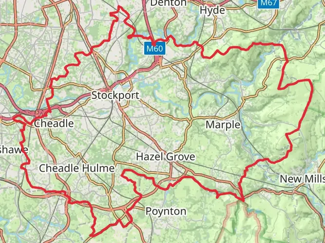
The Etherow Goyt Valley Way is a 46.6 km trail that starts in , Greater Manchester, England. Based on our data, the hike is graded as Easy. For information on how we grade trails, please read measuring the difficulty of a hiking trail on hiiker. Also, check our latest community posts for trail updates. This hike can be completed in approx 2 days. Caution is advised on trail times as this depends on multiple variables. For more info read about how we calculate hike time.

What to expect?
Activity types
Frequently asked questions
How long is the Etherow Goyt Valley Way and how many days does it take?
The Etherow Goyt Valley Way is 46.57 km long with 1,099 m of total ascent, so it fits best as a 2 to 3 day walk for most hikers. Strong walkers can cover it in a long day, but the route is usually treated as a multi-day trail because it links Stockport with the Longdendale side near Hadfield.
Where does the Etherow Goyt Valley Way start and finish?
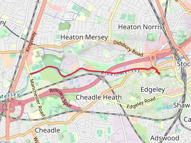
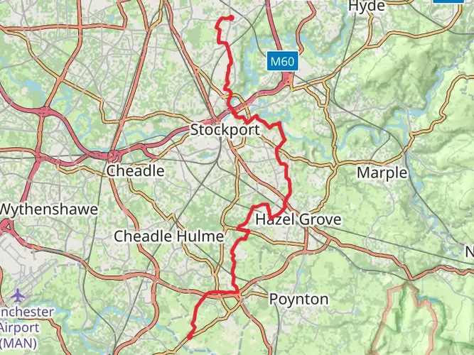
The traditional line of the Etherow Goyt Valley Way starts at Vernon Park in Stockport and finishes near Hadfield at the Longdendale Trail. Along the way it follows the River Goyt upstream, then the River Etherow through places including Compstall, Broadbottom, Woolley Bridge, and Hollingworth.
Is the Etherow Goyt Valley Way difficult?
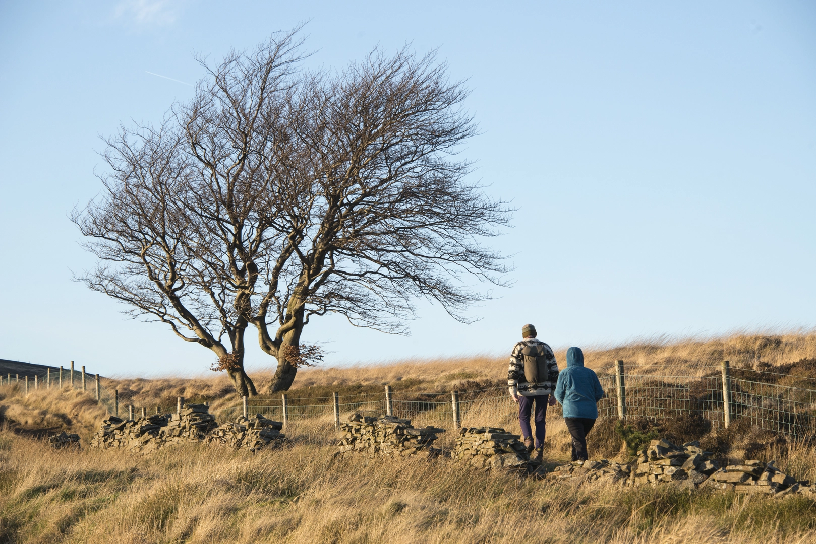
The Etherow Goyt Valley Way is generally considered an easy long-distance walk, despite covering 46.57 km in total. The route follows river valleys, canal-side sections, parkland, woodland paths, and lower-level tracks, although the full elevation gain still adds up to 1,099 m across the whole trail.
What are the main landmarks on the Etherow Goyt Valley Way?
Key landmarks on the Etherow Goyt Valley Way include Vernon Park, Woodbank Memorial Park, the Peak Forest Canal, Marple Aqueduct, Etherow Country Park, Broadbottom, Bottoms Reservoir, and the Longdendale Trail near Hadfield. The route also passes through the Goyt and Etherow valleys and connects with other named trails in the area.
Can the Etherow Goyt Valley Way be reached by public transport?
Yes. The route is practical by public transport because the western end is in Stockport and the eastern end is near Hadfield, both with rail connections, and the official walking guide also notes bus links at the start in Stockport. Intermediate access is possible around places such as Broadbottom and Compstall, which helps with shorter section walks.
Where can I park for the Etherow Goyt Valley Way?
Parking options depend on which section is being walked. Common access points include Stockport near Vernon Park for the western end and Etherow Country Park near Compstall for a central section, where there is a public parking area off George Street. Broadbottom and Hadfield can also work for section hikes, but local restrictions and station parking rules should be checked before setting out.
Comments and Reviews
User comments, reviews and discussions about the Etherow Goyt Valley Way, England.
average rating out of 5
0 rating(s)