Download
3D Flyover
Add to list
More
15.3 km
~3 hrs 55 min
520 m
Loop
“Explore the scenic and historical 15 km Wickridge Hill, Redding Wood, and The Frith Loop in Gloucestershire.”
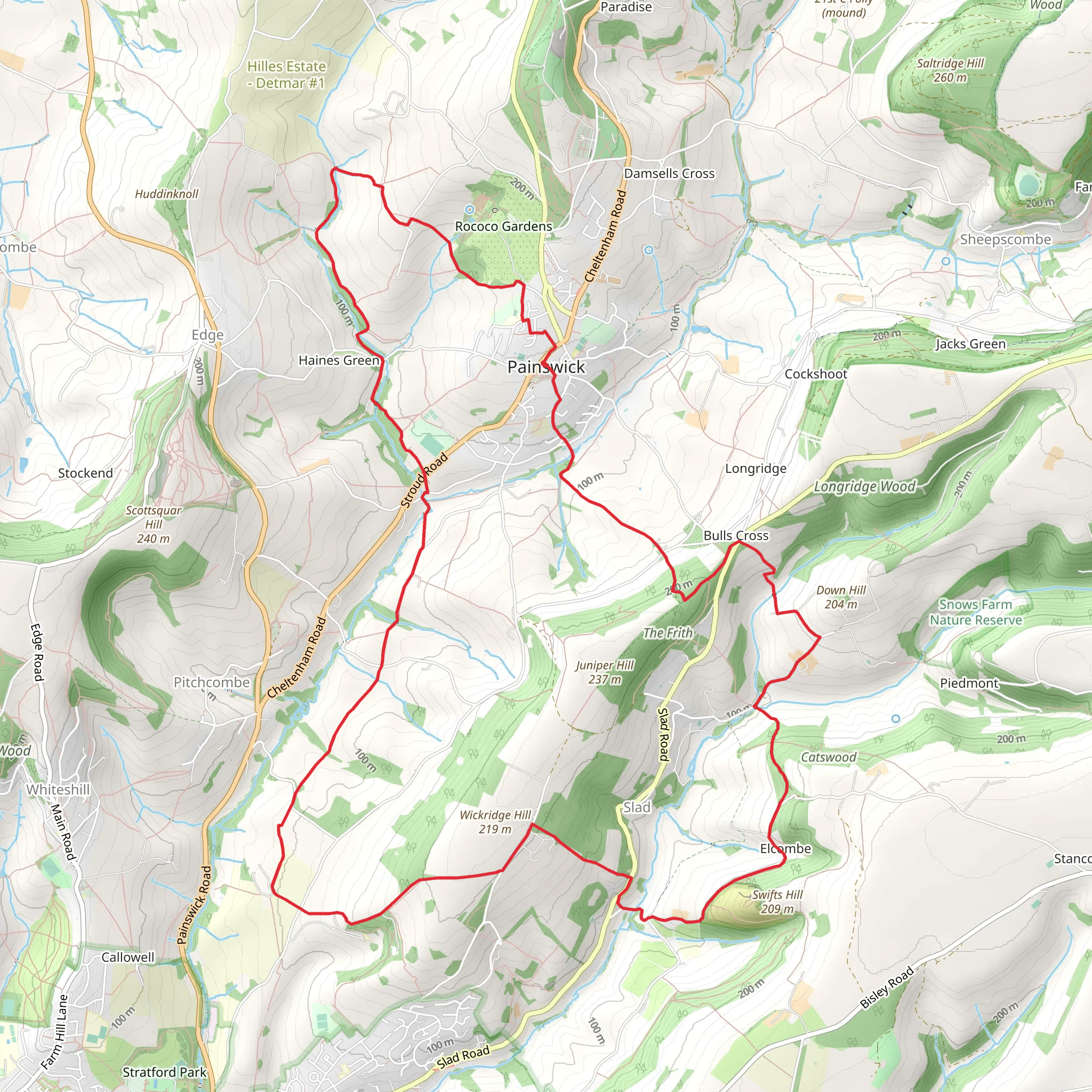
Starting near Gloucestershire, England, the Wickridge Hill, Redding Wood, and The Frith Loop is a captivating 15 km (approximately 9.3 miles) trail with an elevation gain of around 500 meters (1,640 feet). This loop trail offers a medium difficulty rating, making it suitable for moderately experienced hikers.
Getting There
To reach the trailhead, you can drive or use public transport. If driving, set your GPS to Wickridge Hill, near Gloucestershire. For those using public transport, the nearest significant landmark is the town of Stroud. From Stroud, you can take a local bus or taxi to the trailhead.
Trail Overview
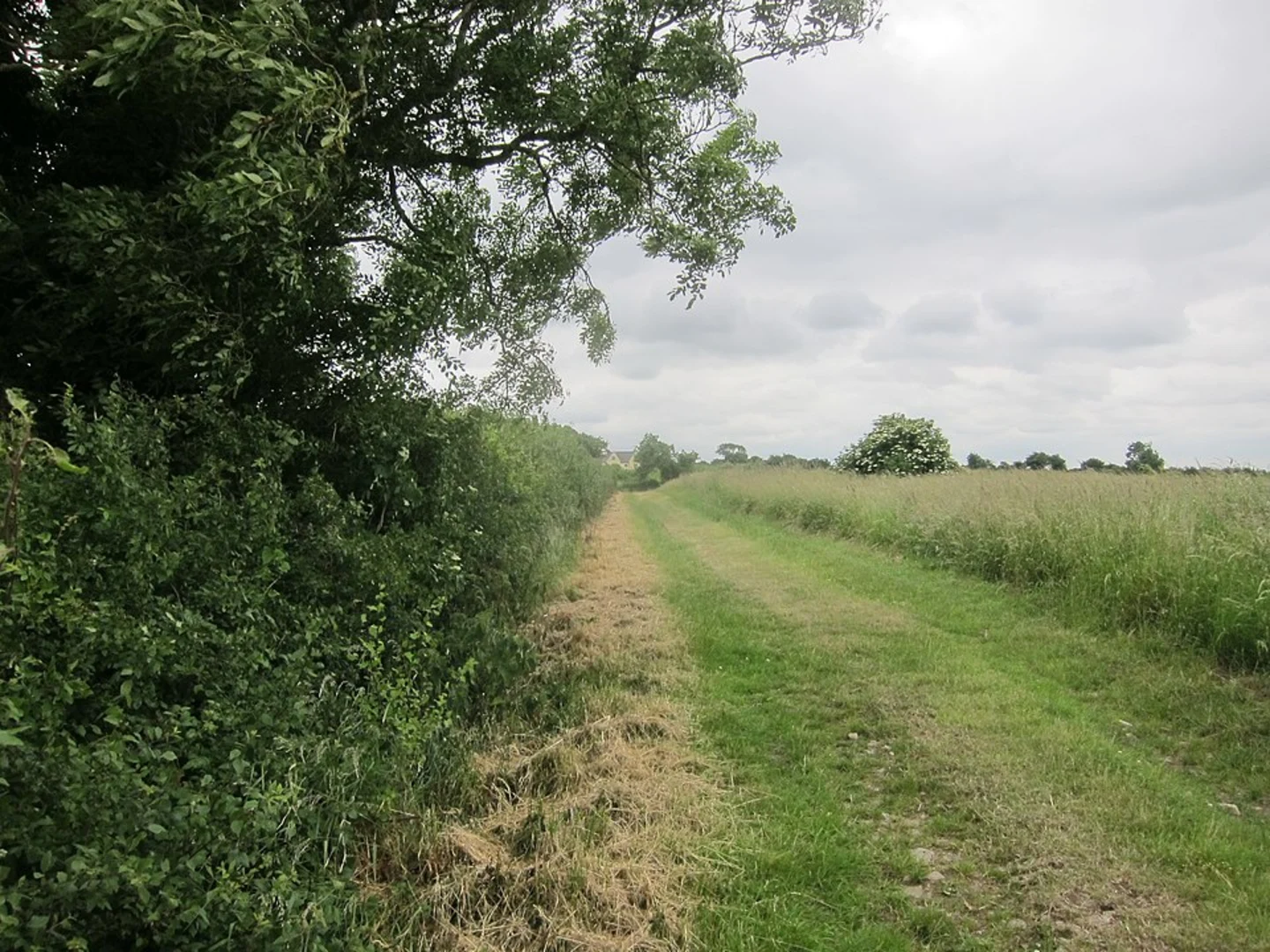
The trail begins with a gentle ascent through Wickridge Hill, offering panoramic views of the surrounding countryside. As you climb, you'll gain approximately 200 meters (656 feet) in the first 3 km (1.86 miles). The path is well-marked, but it's advisable to use the HiiKER app for navigation to ensure you stay on track.
Wickridge Hill
At the summit of Wickridge Hill, you'll be rewarded with sweeping vistas of the Cotswolds. This area is known for its rolling hills and picturesque landscapes. Keep an eye out for local wildlife, including red kites and deer, which are commonly spotted here.
Redding Wood
Descending from Wickridge Hill, you'll enter Redding Wood around the 5 km (3.1 miles) mark. This ancient woodland is rich in biodiversity, featuring a variety of tree species such as oak, beech, and ash. The forest floor is often carpeted with bluebells in the spring, creating a magical atmosphere. The trail through Redding Wood is relatively flat, providing a welcome respite after the initial climb.
The Frith
After exiting Redding Wood, the trail leads you to The Frith, a historic area known for its Iron Age hill fort. This section of the trail is approximately 7 km (4.35 miles) in, with an elevation gain of about 100 meters (328 feet). The hill fort offers a glimpse into the region's ancient past, with remnants of earthworks still visible. It's a great spot to take a break and soak in the historical significance of the area.
Final Stretch
The final stretch of the loop takes you through open meadows and farmland, gradually descending back to the trailhead. This section is around 5 km (3.1 miles) long with a gentle descent of about 200 meters (656 feet). The path is well-trodden and easy to follow, but again, using the HiiKER app can help you navigate any tricky sections.
Practical Information
- Water and Snacks: There are no facilities along the trail, so bring enough water and snacks for the entire hike.
- Footwear: Sturdy hiking boots are recommended due to uneven terrain and potential muddy sections, especially after rain.
- Weather: The weather can be unpredictable, so pack layers and waterproof gear.
- Wildlife: Be mindful of local wildlife and respect their habitats. Keep a safe distance and avoid feeding any animals.
This trail offers a blend of natural beauty, historical intrigue, and moderate physical challenge, making it a rewarding experience for those who undertake it.
What to expect?
Activity types
Comments and Reviews
User comments, reviews and discussions about the Wickridge Hill, Redding Wood and The Frith Loop, England.
5.0
average rating out of 5
2 rating(s)
