
Download
3D Flyover
Add to list
More
6.7 km
~1 hrs 22 min
28 m
Loop
“The Rea Swing Bridge Loop offers a scenic, moderate 7 km hike through Gloucestershire's vibrant countryside and historical landmarks.”
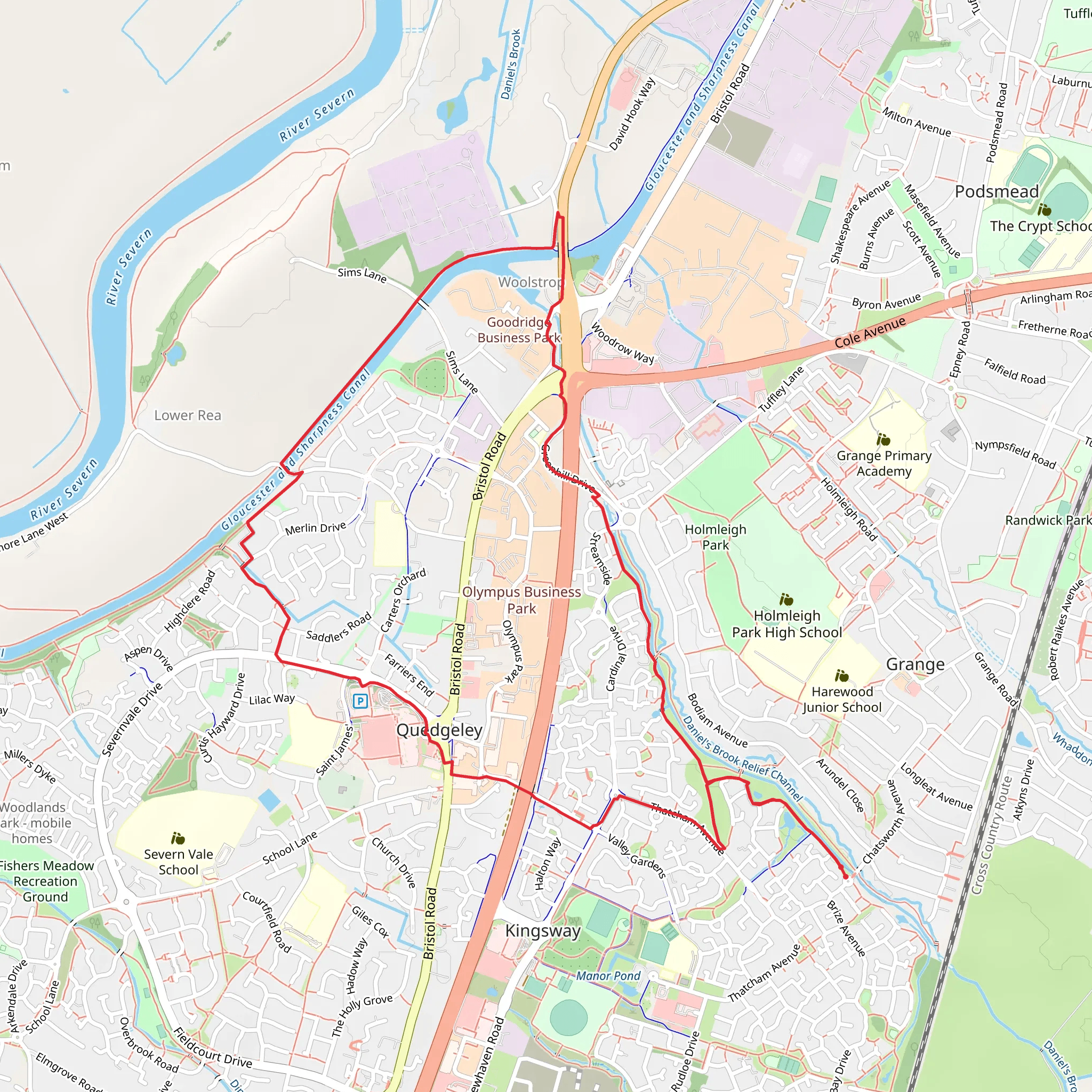
Starting near the picturesque town of Gloucestershire, England, the Rea Swing Bridge Loop is a delightful 7 km (approximately 4.3 miles) trail that offers a relatively flat hike with no significant elevation gain. This loop trail is rated as medium difficulty, making it accessible for most hikers with a moderate level of fitness.
Getting There
To reach the trailhead, you can drive or use public transport. If driving, head towards the town of Gloucestershire and look for parking options near the starting point of the trail. For those using public transport, the nearest significant landmark is the Gloucester Railway Station. From there, you can take a local bus or taxi to the trailhead.
Trail Navigation
For navigation, it's highly recommended to use HiiKER, which provides detailed maps and real-time updates to ensure you stay on the right path.
Trail Highlights
As you embark on the Rea Swing Bridge Loop, you'll find yourself immersed in the serene beauty of the English countryside. The trail meanders through lush meadows, dense woodlands, and along the tranquil banks of the River Rea.
The Rea Swing Bridge
One of the most notable landmarks on this trail is the Rea Swing Bridge, an old iron bridge that dates back to the 19th century. This historical structure offers a glimpse into the engineering marvels of the past and provides a perfect spot for a photo opportunity. The bridge is located roughly 3 km (1.9 miles) into the hike, making it a great halfway point to take a break and enjoy the surroundings.
Flora and Fauna
The trail is rich in biodiversity. Keep an eye out for various species of birds, including kingfishers and herons, which are often seen near the river. The woodlands are home to deer, foxes, and a variety of small mammals. In the spring and summer months, the meadows burst into a riot of colors with wildflowers such as bluebells, daisies, and buttercups.
Historical Significance
The region around Gloucestershire is steeped in history. The Rea Swing Bridge itself is a testament to the area's industrial past. Additionally, the trail passes near several ancient oak trees, some of which are believed to be over 500 years old. These trees have witnessed centuries of history and add a sense of timelessness to your hike.
Practical Information
The trail is well-marked, but it's always a good idea to carry a map or use HiiKER for navigation. There are no significant elevation changes, making it a relatively easy hike in terms of terrain. However, the trail can get muddy after rain, so waterproof hiking boots are recommended. There are no facilities along the trail, so be sure to bring enough water and snacks for the journey.
Whether you're a history buff, a nature enthusiast, or simply looking for a peaceful walk in the countryside, the Rea Swing Bridge Loop offers a little something for everyone.
What to expect?
Activity types
Comments and Reviews
User comments, reviews and discussions about the Rea Swing Bridge Loop, England.
4.5
average rating out of 5
4 rating(s)

