Download
3D Flyover
Add to list
More
28.3 km
~6 hrs 25 min
459 m
Loop
“Explore the heart of the Cotswolds with this scenic 28 km loop trail from Naunton.”
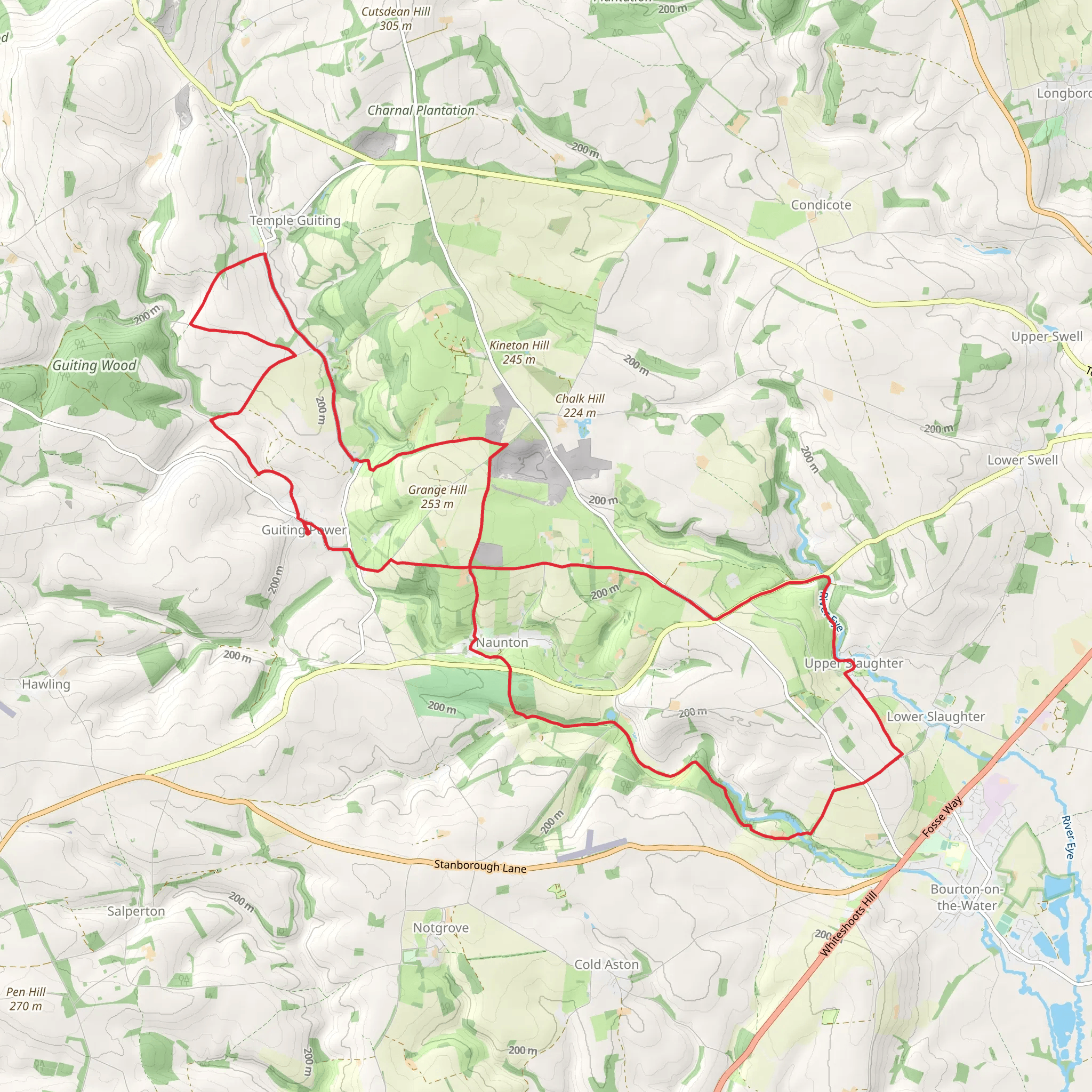
Starting near the picturesque village of Naunton in Gloucestershire, England, this 28 km (approximately 17.4 miles) loop trail offers a delightful mix of rolling hills, charming villages, and serene countryside. With an elevation gain of around 400 meters (about 1,312 feet), the trail is rated as medium difficulty, making it suitable for moderately experienced hikers.
Getting There
To reach the trailhead, you can drive to Naunton, which is well-connected by local roads. If you prefer public transport, the nearest major town is Cheltenham. From Cheltenham, you can take a bus to Bourton-on-the-Water and then a local taxi to Naunton. The trailhead is conveniently located near the village center, making it easy to start your hike.
Trail Highlights
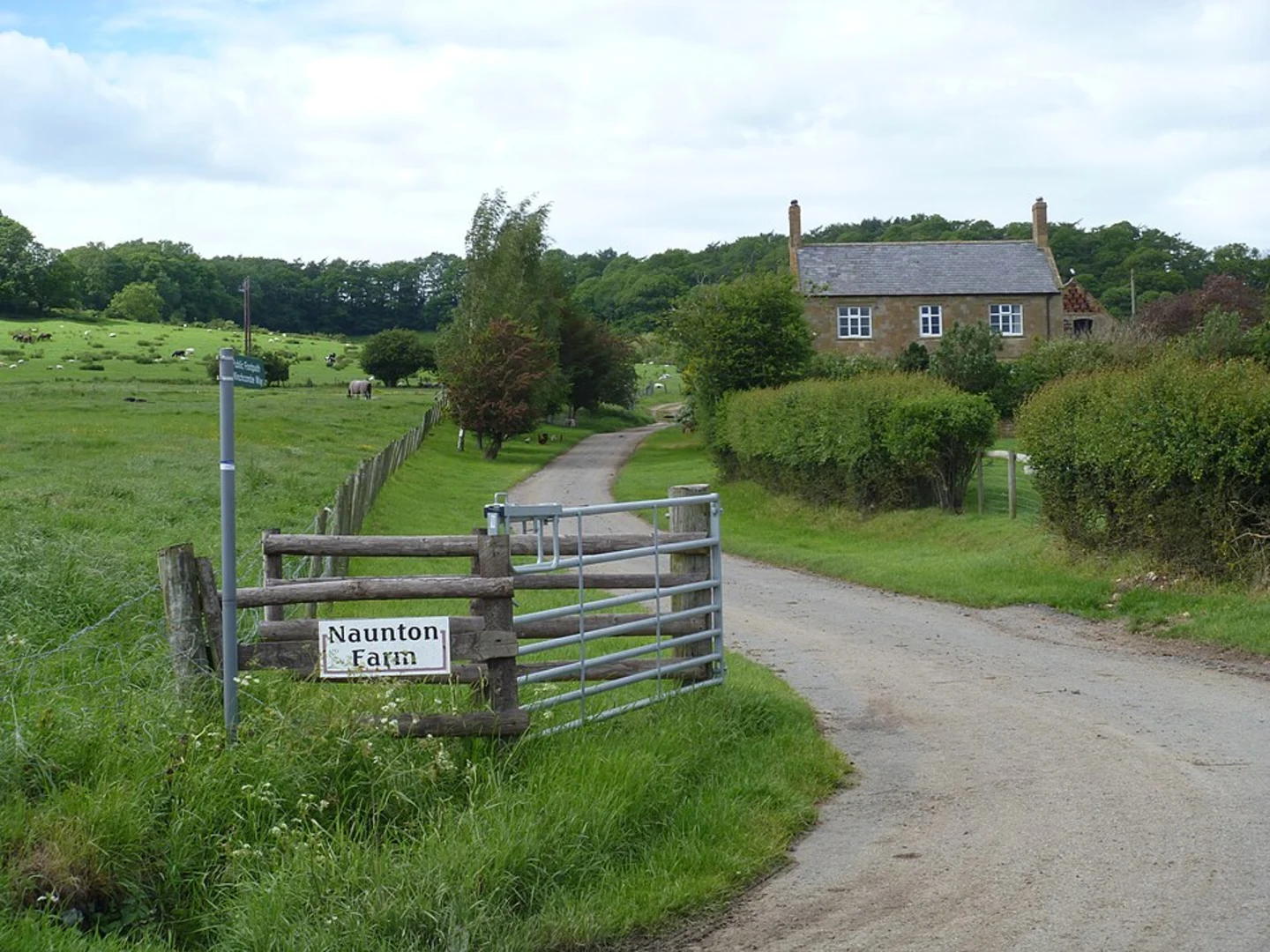
Naunton
The trail begins in Naunton, a quintessential Cotswold village known for its honey-colored stone cottages and tranquil atmosphere. As you set off, you'll pass by the historic St. Andrew's Church, which dates back to the 15th century. The village itself is a great place to explore, with its traditional architecture and scenic views.
Upper Slaughter
About 8 km (5 miles) into the hike, you'll reach Upper Slaughter, another charming village. Upper Slaughter is one of the "Thankful Villages" that suffered no fatalities during World War I. The village is home to the beautiful River Eye and the historic St. Peter's Church. Take a moment to enjoy the peaceful surroundings and perhaps have a picnic by the river.
Barton
Continuing on, you'll head towards Barton, approximately 15 km (9.3 miles) from the start. Barton is a small hamlet that offers stunning views of the surrounding countryside. The trail here is relatively flat, making it a good spot to catch your breath and take in the scenery. Look out for local wildlife, including deer and various bird species.
Nature and Wildlife
The trail traverses a variety of landscapes, from open fields to dense woodlands. Keep an eye out for wildflowers, especially in the spring and summer months. The area is also home to a variety of wildlife, including foxes, badgers, and numerous bird species. The Cotswolds are known for their biodiversity, so bring a pair of binoculars if you're a keen birdwatcher.
Historical Significance
The Cotswolds region is steeped in history, and this trail is no exception. You'll pass by several historical landmarks, including ancient churches and traditional Cotswold stone walls. The villages themselves are like stepping back in time, with their well-preserved architecture and historical significance.
Navigation
Given the length and complexity of the trail, it's advisable to use a reliable navigation tool like HiiKER to ensure you stay on track. The app provides detailed maps and real-time updates, making it easier to navigate the various turns and intersections along the way.
Final Stretch
As you loop back towards Naunton, the final 5 km (3.1 miles) offer a gentle descent, allowing you to enjoy the last of the scenic views without too much effort. The trail ends back in Naunton, where you can relax and perhaps visit a local pub to celebrate completing this rewarding hike.
This trail offers a perfect blend of natural beauty, historical landmarks, and charming villages, making it a must-do for anyone looking to explore the heart of the Cotswolds.
What to expect?
Activity types
Comments and Reviews
User comments, reviews and discussions about the Naunton, Upper Slaughter and Barton Loop, England.
4.75
average rating out of 5
4 rating(s)
