Download
3D Flyover
Add to list
More
4.7 km
~1 hrs 7 min
114 m
Loop
“Explore diverse landscapes and rich history on the moderately challenging Pickreed Wood and The Rough Loop trail.”
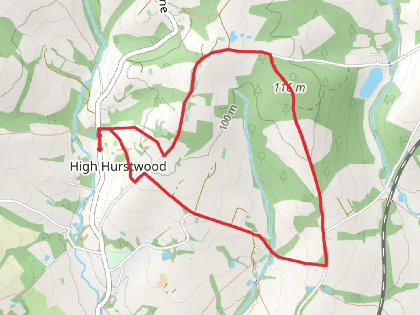
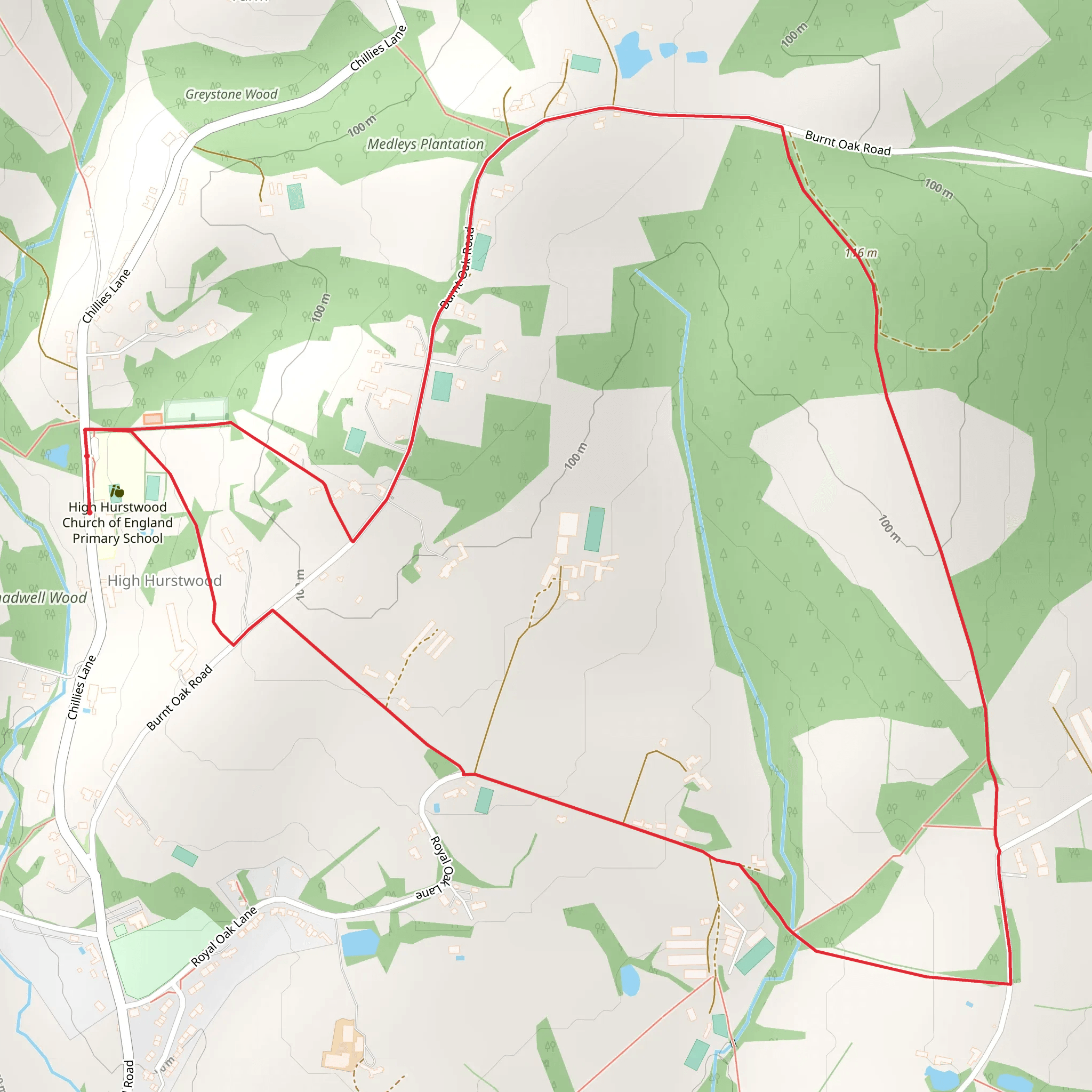
Starting near East Sussex, England, the Pickreed Wood and The Rough Loop is a delightful 5 km (approximately 3.1 miles) trail with an elevation gain of around 100 meters (328 feet). This loop trail is rated as medium difficulty, making it suitable for moderately experienced hikers.
Getting There
To reach the trailhead, you can drive or use public transport. If driving, head towards the village of Mayfield in East Sussex. The nearest significant landmark is the Mayfield Primary School, located at Fletching Street, Mayfield, TN20 6TA. There is limited parking available near the school, so arriving early is advisable. For those using public transport, the nearest train station is Wadhurst, from where you can take a local bus or taxi to Mayfield.
Trail Overview
The trail begins near Mayfield Primary School and quickly immerses you in the serene beauty of Pickreed Wood. The initial section is relatively flat, allowing you to ease into the hike. As you progress, the trail starts to ascend gently, offering a gradual elevation gain of about 50 meters (164 feet) over the first 2 km (1.2 miles).
Nature and Wildlife
Pickreed Wood is a haven for nature enthusiasts. The dense woodland is home to a variety of bird species, including woodpeckers and nuthatches. Keep an eye out for deer, which are often seen grazing in the early morning or late afternoon. The undergrowth is rich with ferns and wildflowers, particularly in the spring and summer months.
Significant Landmarks
At approximately 2.5 km (1.5 miles) into the hike, you'll come across an ancient oak tree, estimated to be over 500 years old. This tree is a significant landmark and a great spot for a short rest. The trail then leads you to The Rough, an open heathland area that offers panoramic views of the surrounding countryside. This section is particularly beautiful in late summer when the heather is in full bloom.
Historical Significance
The region around Pickreed Wood and The Rough has a rich history. Mayfield itself dates back to the medieval period and was once a thriving market town. The trail passes near several old boundary markers and remnants of ancient hedgerows, offering a glimpse into the area's agricultural past.
Navigation
Given the dense woodland and multiple intersecting paths, it's advisable to use a reliable navigation tool like HiiKER to stay on track. The app provides detailed maps and real-time GPS tracking, ensuring you don't miss any key turns or landmarks.
Final Stretch
The final 1.5 km (0.9 miles) of the trail descends gradually back towards Mayfield. This section can be a bit muddy after rain, so appropriate footwear is recommended. As you near the end of the loop, you'll pass through a charming meadow, often filled with butterflies and bees during the warmer months.
By the time you return to the trailhead near Mayfield Primary School, you'll have experienced a diverse range of landscapes, from dense woodland to open heathland, all while enjoying the rich natural and historical tapestry of East Sussex.
What to expect?
Activity types
Comments and Reviews
User comments, reviews and discussions about the Pickreed Wood and The Rough Loop, England.
4.5
average rating out of 5
4 rating(s)
