Download
3D Flyover
Add to list
More
22.5 km
~4 hrs 36 min
73 m
Loop
“The Allerthorpe Lake and Wilberforce Way trail is a scenic, accessible 22 km loop rich in nature and history.”
Starting near East Riding of Yorkshire, England, the Allerthorpe Lake and Wilberforce Way trail is a delightful 22 km (approximately 13.7 miles) loop with no significant elevation gain, making it accessible for a wide range of hikers. The trailhead is conveniently located near Allerthorpe Common, which can be reached by car or public transport. If driving, you can park at the Allerthorpe Common car park. For those using public transport, the nearest train station is Pocklington, from where you can take a local bus or taxi to the trailhead.
Trail Overview
The trail begins at Allerthorpe Common, a serene area known for its diverse flora and fauna. As you set off, you'll traverse through a mix of woodland and open fields, offering a variety of landscapes to enjoy. The first few kilometers are relatively flat, making it an easy start to your hike.
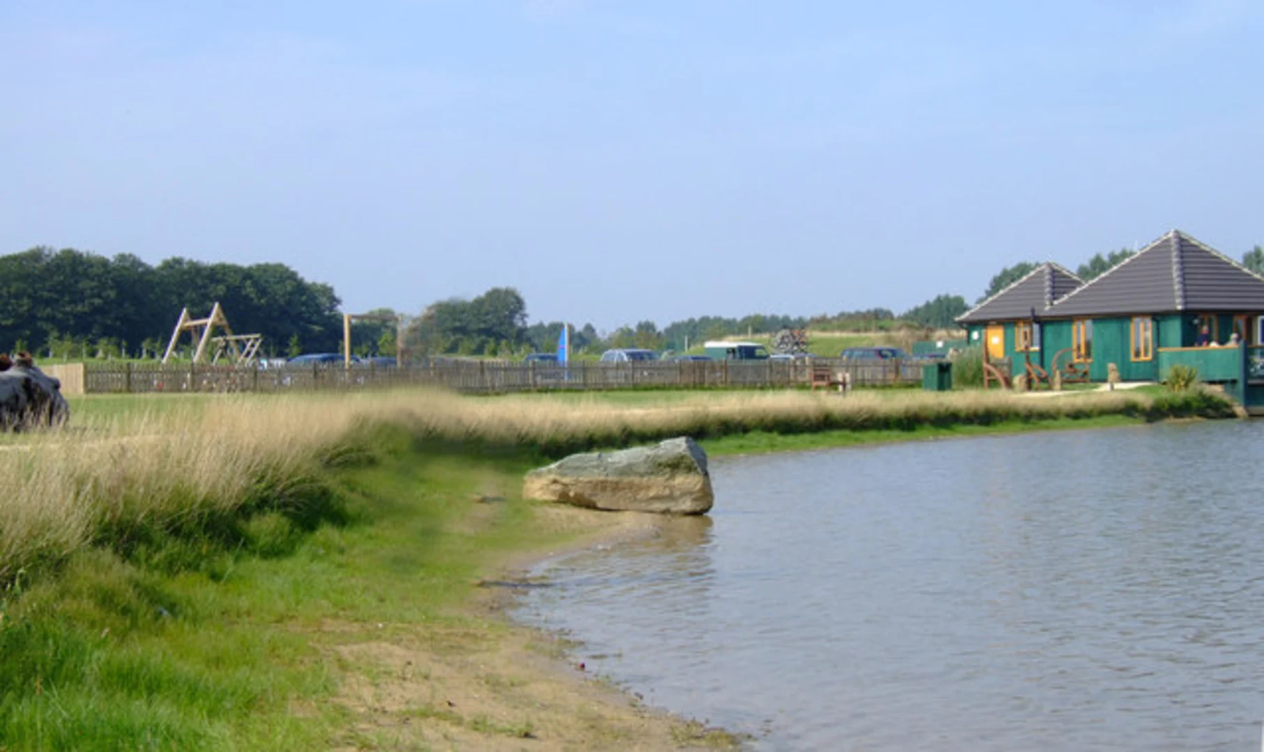
Allerthorpe Lake
Around 5 km (3.1 miles) into the hike, you'll reach Allerthorpe Lake, a popular spot for birdwatching and picnicking. The lake is home to a variety of waterfowl, including swans, ducks, and herons. There are several benches and picnic tables around the lake, making it a perfect spot for a short break.
Wilberforce Way
Continuing on, you'll join the Wilberforce Way, named after William Wilberforce, a prominent figure in the abolition of the slave trade in the British Empire. This section of the trail is rich in historical significance, and you'll pass several plaques and information boards detailing Wilberforce's life and achievements.
Flora and Fauna
As you hike through the Wilberforce Way, you'll notice the landscape changing from open fields to dense woodland. This area is a haven for wildlife, including deer, foxes, and a variety of bird species. Keep an eye out for the rare red kite, a bird of prey that has been successfully reintroduced to the area.
Navigation and Safety
The trail is well-marked, but it's always a good idea to have a reliable navigation tool. HiiKER is recommended for its detailed maps and real-time updates. The trail is generally safe, but be mindful of muddy sections, especially after rain. Waterproof boots are advisable.
Historical Landmarks
Around the 15 km (9.3 miles) mark, you'll come across the village of Wilberfoss. This quaint village is worth a short detour to explore its historic church and charming cottages. The village also has a small shop where you can replenish your supplies.
Final Stretch
The last section of the trail takes you back through open fields and along quiet country lanes, eventually leading you back to Allerthorpe Common. This part of the hike is particularly scenic, offering panoramic views of the surrounding countryside.
Getting There
To reach the trailhead, if you're driving, set your GPS to Allerthorpe Common car park. For public transport users, take a train to Pocklington and then a local bus or taxi to Allerthorpe Common. The trail is well-connected and easy to find, making it a convenient option for a day hike.
This 22 km loop offers a mix of natural beauty, historical significance, and diverse wildlife, making it a rewarding experience for hikers of all levels.

What to expect?
Activity types
Comments and Reviews
User comments, reviews and discussions about the Allerthorpe Lake and Wilberforce Way, England.
4.0
average rating out of 5
3 rating(s)