Download
Preview
Add to list
More
51.6 km
~2 days
629 m
Multi-Day
“A gentle, village‑to‑village ramble of lanes, fields and woods—steady, changeable underfoot, quietly historic.”
St Edward’s Way is a long, mostly lowland ramble of about 52 km / 32 mi with roughly 600 m / 1,970 ft of total ascent—more “steady all day” than steep. Expect a mix of quiet lanes, field-edge paths, woodland tracks, and village-to-village footpaths, with frequent gates and stiles depending on the exact line you follow. Because it’s rated Easy, the main challenges tend to be time on feet, changeable underfoot conditions, and staying on the correct line at path junctions rather than big climbs.
Before I can convert the start location to the nearest address/landmark and give truly accurate “how to get there” directions, I need the missing start details:
- the start lon/lat (or a grid reference / postcode), and
- whether it’s a point-to-point route or a loop (your “Hike type” and “Hike head” fields look incomplete).
If you share those, I’ll pin the start to the nearest known landmark/address and tailor transport/parking options precisely. In the meantime, here’s how to plan for a 52 km / 32 mi, ~600 m / 1,970 ft “easy” long-distance day (or comfortable 2-day) on an English-style waymarked route like this.
What the day feels like underfoot
- Gradients: With ~600 m over 52 km, the climbing is typically short rises and rolling terrain. You’ll rarely be grinding uphill for long, but the constant small ups/downs add up.
- Surfaces: Plan for muddy field margins, slick grass, and rutted farm tracks if it’s been wet; in dry spells, some sections can be hard-packed and repetitive, which can fatigue feet.
- Obstacles: Expect gates, kissing gates, and occasional stiles. After rain, gateways can be churned up by livestock and tractors.
- Navigation: Even on “easy” terrain, the most common time-loss is missing a turn at a hedge corner or taking the wrong farm track. Keep HiiKER handy and check it at every junction where multiple tracks run parallel.
Landmarks, landscape character, and what to look for
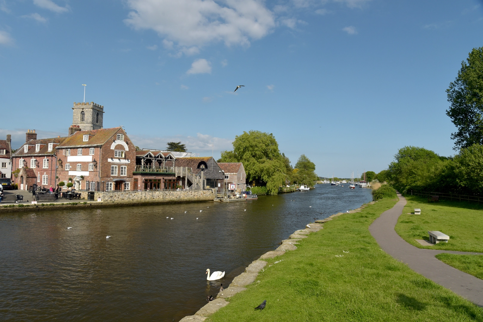
Routes named “St Edward” in England commonly reference Edward the Confessor (11th century) or St Edward the Martyr (10th century), and the “Way” format often strings together church towns, old parish boundaries, and historic trackways. Along a route like this, the standout features are usually:
- Historic villages and parish churches: Many English long paths deliberately pass medieval churches—look for Norman doorways, 13th–15th century towers, and churchyard yews (some yews can be centuries old). If the route is tied to Edward the Confessor, you may see interpretive references to late Anglo‑Saxon England and the Norman transition.
- Old lanes and trackways: Sunken lanes, hedgerows, and ridge-and-furrow fields can hint at medieval farming patterns. Hedgerows themselves are often wildlife corridors and can be historically significant as long-standing boundaries.
- Woodland edges and small copses: These can be bluebell-rich in spring and provide shade in summer. Watch for uneven roots and slippery leaf litter on descents.
- Rivers/streams and wet corners: Even gentle routes often cross small watercourses; after rain, fords/culverts can overflow and create boggy pinch points.
Wildlife you’re likely to encounter on a lowland English route: - Birdlife: skylarks over open fields, buzzards circling, woodpeckers in woodland edges; near water, mallard and heron. - Mammals: rabbits and hares in open country; deer in quieter wooded stretches; foxes mostly at dawn/dusk. - Livestock: cattle and sheep are common. Give cattle space, keep calm body language, and don’t get between cows and calves. Dogs (if any) should be on lead around livestock.
Pacing, timing, and sensible stage breaks
For 52 km / 32 mi, most hikers plan either: - A long single day: roughly 10–13 hours moving time depending on fitness, stops, and underfoot conditions. - A comfortable 2-day: about 26 km / 16 mi per day, which is far more forgiving if you want time for churches, pubs, and photo stops.
A practical way to manage effort on rolling terrain: - Break the route into 4 chunks of ~13 km / 8 mi. - Aim to eat something every 60–90 minutes and top up water whenever you pass a reliable source (villages, cafés, pubs, churchyards with taps where available).
Weather, seasonal hazards, and what to pack
Even “easy” long paths can bite if conditions turn: - Rain: field paths become slick; bring a proper waterproof and expect mud to slow you down. - Heat/sun: exposed farmland can feel hotter than forecast; carry more water than you think you need. - Wind: open ridgelines and big fields can be draining; a light windproof can make a big difference.
Packing guidance for a 52 km / 32 mi day: - Footwear: grippy trail shoes or light boots; in wet months, waterproofing helps, but grip matters more. - Socks & foot care: consider a spare pair of socks; blister kit is non-neg

Surfaces
Unknown
Asphalt
Gravel
Unpaved
Dirt
Cobblestone
Comments and Reviews
User comments, reviews and discussions about the St Edward's Way, England.
average rating out of 5
0 rating(s)