Download
3D Flyover
Add to list
More
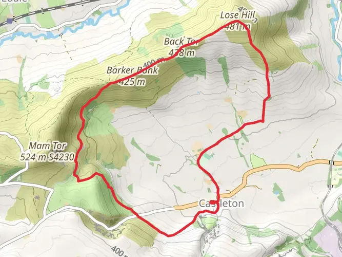
Trail length
22.2 km
Time
~5 hrs 49 min
Elevation Gain
837 m
Hike Type
Loop
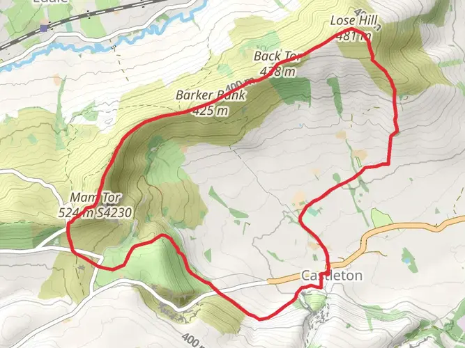
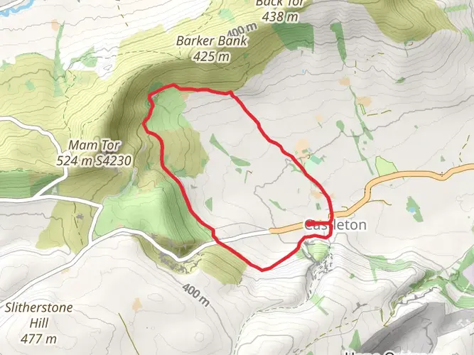
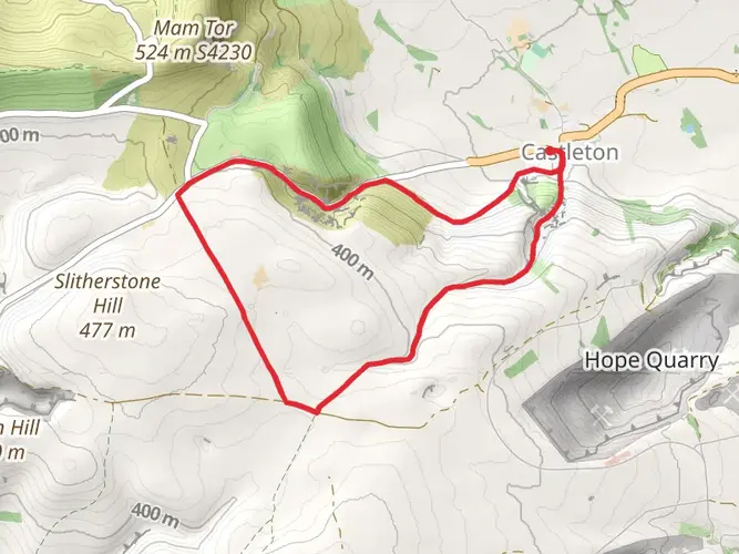
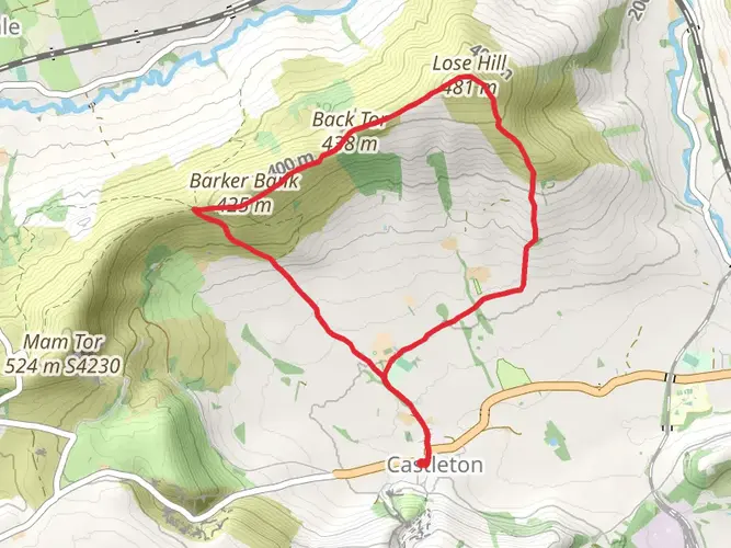
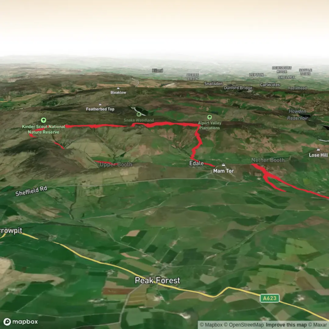
A medium, circular day hike from Castleton covering about 22.2 km with around 840 m of ascent and 895 m of descent. Expect a mix of steady climbs and descents with some sustained uphill sections. The route explores the classic Peak District scenery around Castleton, likely offering views of surrounding ridges, rolling hills, and nearby valleys before returning to the starting point in the village.

Created by
Chippy

What to expect?
scenic-views
mountain-views
Surfaces
Dirt
Unknown
Compacted Gravel
Asphalt
Unpaved
Paving Stones
Grass
Cobblestone
Ground
Gravel
Paved
Comments and Reviews
User comments, reviews and discussions about the Hike from Castleton, England.
average rating out of 5
0 rating(s)