Download
3D Flyover
Add to list
More
38.1 km
~2 days
814 m
Multi-Day
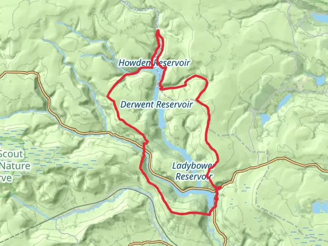
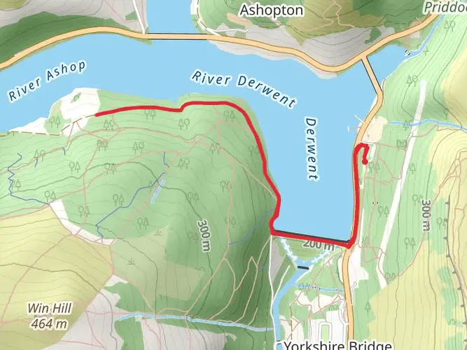
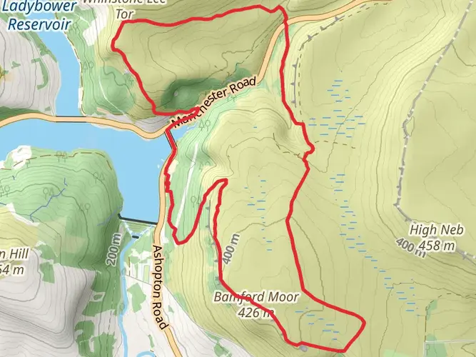
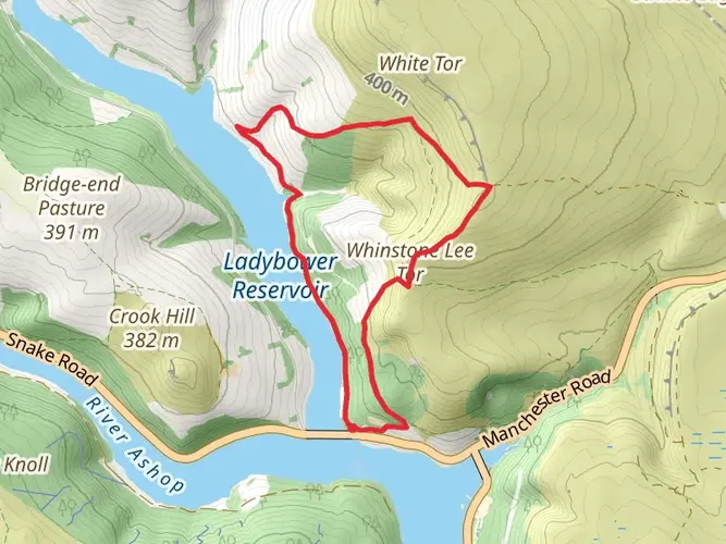
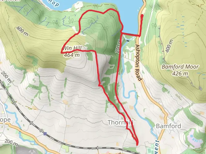
The Derwent Valley Skyline from Ashopton is a 38.1 km trail that starts in High Peak, Derbyshire, England. Based on our data, the hike is graded as Easy. For information on how we grade trails, please read measuring the difficulty of a hiking trail on hiiker. Also, check our latest community posts for trail updates. This hike can be completed in approx 2 days. Caution is advised on trail times as this depends on multiple variables. For more info read about how we calculate hike time.

What to expect?
Activity types
Frequently asked questions
How long does the Derwent Valley Skyline from Ashopton take to hike?
The Derwent Valley Skyline from Ashopton is 38.05 km long and is typically completed in about 2 days. With 814 m of elevation gain, it is a substantial outing even though it is graded easy, so most walkers split it into two stages rather than treating it as a short day walk.
Is the Derwent Valley Skyline from Ashopton a difficult walk?
The Derwent Valley Skyline from Ashopton is graded easy, but it is still a 38.05 km multi-day route with 814 m of climbing. That means the terrain is generally manageable, yet the overall distance makes it better suited to hikers prepared for a full two-day outing in the Derbyshire hills.
Where do you park for the Derwent Valley Skyline from Ashopton?
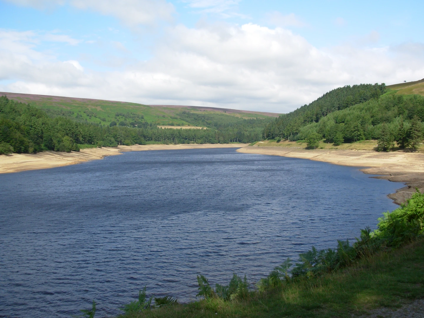
A practical parking base for the Derwent Valley Skyline from Ashopton is the Upper Derwent area at Fairholmes, near Bamford, where the main car park is pay-and-display and accepts coin or card. Ashopton sits on the A57 side of the Upper Derwent Valley, and Fairholmes is the main visitor parking hub for access to Derwent Dam and the surrounding valley. ([peakdistrict.gov.uk](https://www.peakdistrict.gov.uk/visiting/visitor-centres/derwent?utm_source=openai))
Can you do the Derwent Valley Skyline from Ashopton in one day?
The Derwent Valley Skyline from Ashopton can be done in one very long day by strong, fast walkers, but its standard hiking time is about 2 days. At 38.05 km with 814 m of ascent, most people will find it more comfortable as an overnight or two-day route rather than a single push.
Is the Derwent Valley Skyline from Ashopton dog friendly?
Dogs are commonly allowed in the Upper Derwent Valley, but they need close control around livestock, wildlife, reservoirs, and sensitive moorland habitats. Because this route passes through the Peak District’s Upper Derwent area, dog owners should expect lead use to be necessary in many sections, especially near farmland and ground-nesting bird habitat. ([peakdistrict.gov.uk](https://www.peakdistrict.gov.uk/looking-after/areaplans/derwentmanplan?utm_source=openai))
Is there mobile phone signal on the Derwent Valley Skyline from Ashopton?
Mobile coverage is poor in the Upper Derwent Valley. The Peak District National Park notes that there is no mobile phone signal in the valley around Fairholmes, and the nearest signal is on the A57 at Ashopton, so route details and meeting plans should be sorted before setting out. ([peakdistrict.gov.uk](https://www.peakdistrict.gov.uk/visiting/visitor-centres/derwent?utm_source=openai))
What kind of hike is the Derwent Valley Skyline from Ashopton?
The Derwent Valley Skyline from Ashopton is a multi-day hike in Derbyshire, England. It combines a 38.05 km distance with 814 m of elevation gain and is generally treated as a 2-day route, making it a good fit for hikers looking for a longer Peak District circuit rather than a short reservoir walk.
Comments and Reviews
User comments, reviews and discussions about the Derwent Valley Skyline from Ashopton, England.
5.0
average rating out of 5
1 rating(s)