Download
3D Flyover
Add to list
More
11.7 km
~2 hrs 42 min
221 m
Out and Back
“The Bleaklow Hill Walk in Derbyshire combines natural beauty, historical intrigue, and moderate adventure over 12 km.”
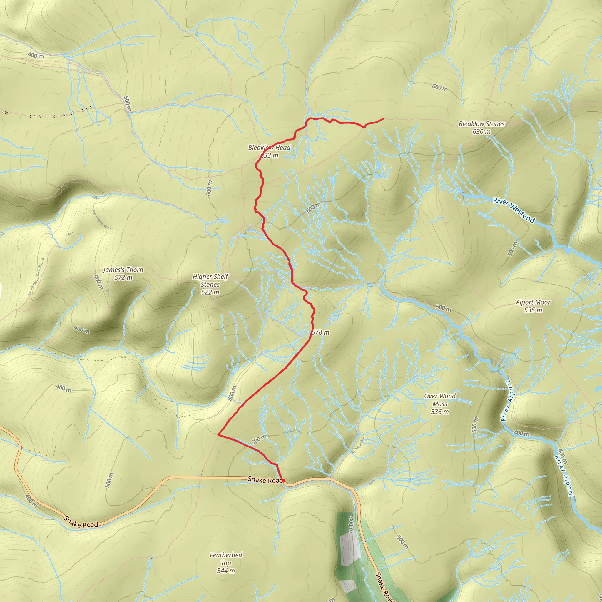
Starting near Derbyshire, England, the Bleaklow Hill Walk is an out-and-back trail that spans approximately 12 km (7.5 miles) with an elevation gain of around 200 meters (656 feet). This medium-difficulty hike offers a blend of natural beauty, historical significance, and a touch of adventure.
Getting There
To reach the trailhead, you can drive or use public transport. If driving, head towards the Snake Pass (A57) and look for parking near the Snake Pass Inn, which is a convenient starting point. For those using public transport, the nearest significant landmark is the town of Glossop. From Glossop, you can take a bus towards the Snake Pass Inn, which is a short walk from the trailhead.
Trail Overview
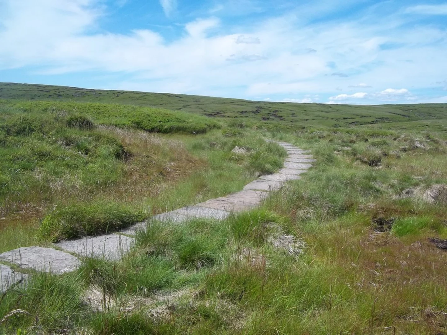
The trail begins with a gentle ascent through moorland, characterized by its heather-covered landscape. Early on, you'll encounter the Pennine Way, a famous long-distance footpath that intersects with the Bleaklow Hill Walk. Follow the well-marked path as it gradually climbs towards the summit of Bleaklow Hill.
Significant Landmarks
Wain Stones
Approximately 4 km (2.5 miles) into the hike, you'll come across the Wain Stones, a notable rock formation that resembles a pair of giant anvil stones. This is a great spot for a short break and some photography. The elevation gain to this point is about 100 meters (328 feet).
Bleaklow Head
Continuing on, you'll reach Bleaklow Head at around the 6 km (3.7 miles) mark. This is the highest point of the trail and offers panoramic views of the surrounding moorlands. The elevation gain here is close to 200 meters (656 feet). Look out for the cairn that marks the summit, a traditional pile of stones used as a navigational aid.
Historical Significance
The area around Bleaklow Hill is steeped in history. During World War II, several aircraft crashed in this region due to poor visibility and harsh weather conditions. One of the most famous crash sites is that of the B-29 Superfortress "Over Exposed," which went down in 1948. The wreckage is still visible and serves as a poignant reminder of the area's past. This site is located about 1 km (0.6 miles) from Bleaklow Head and can be reached by a short detour.
Flora and Fauna
The moorlands are home to a variety of wildlife, including red grouse, mountain hares, and occasionally, peregrine falcons. The heather blooms in late summer, painting the landscape in shades of purple. Keep an eye out for bog cotton and bilberry plants, which are common in this area.
Navigation and Safety
Given the open and often foggy conditions, it's crucial to have a reliable navigation tool. HiiKER is highly recommended for its detailed maps and real-time updates. Ensure you have appropriate clothing and gear, as the weather can change rapidly. Waterproof boots and a windproof jacket are advisable.
Return Journey
The return journey follows the same path back to the trailhead, offering a different perspective of the landscape. Take your time to enjoy the views and perhaps spot some wildlife you may have missed on the way up.
This hike offers a rewarding experience with its mix of natural beauty, historical landmarks, and moderate challenge. Whether you're a seasoned hiker or a casual walker, the Bleaklow Hill Walk provides a memorable adventure in the heart of Derbyshire.
What to expect?
Activity types
Comments and Reviews
User comments, reviews and discussions about the Bleaklow Hill Walk, England.
4.67
average rating out of 5
3 rating(s)
