Download
3D Flyover
Add to list
More
7.8 km
~2 hrs 29 min
551 m
Loop
“A steep, rugged Lakeland circuit rising swiftly from Glenridding to airy ridges and dazzling Ullswater views.”
This is a compact but demanding Lake District circuit of about 8 km / 5 miles with roughly 600 metres / 1,970 feet of ascent, climbing above the south end of Ullswater onto two well-known Eastern Fells: Glenridding Dodd at about 442 metres / 1,450 feet and Sheffield Pike at about 675 metres / 2,215 feet. Although the mileage is modest, the steep gradients, rough fell terrain, and sustained climbing make it a difficult outing rather than a casual valley walk. (en.wikipedia.org)
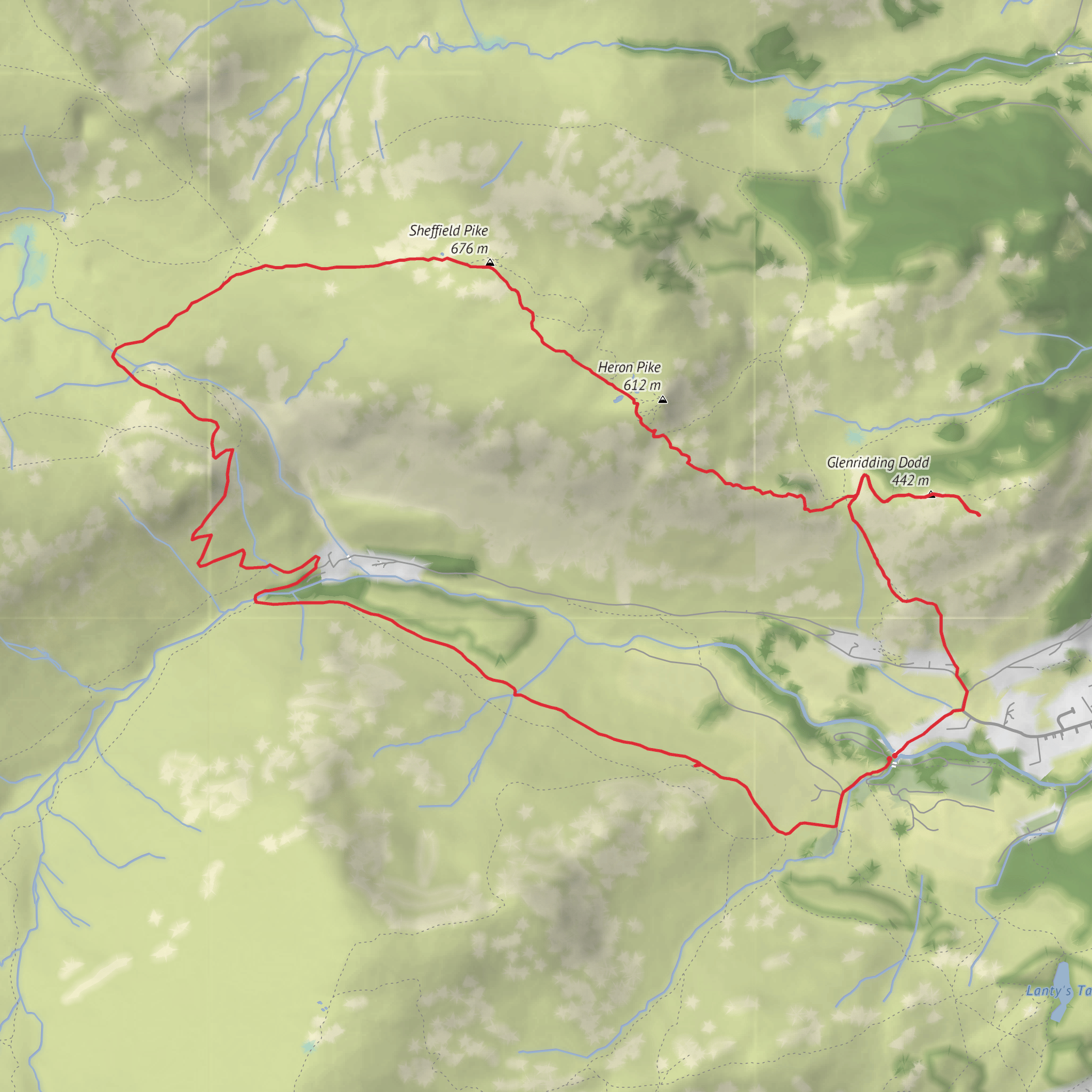
The walk is generally started from Glenridding village, the main settlement at the southern end of Ullswater in Cumbria, and the most practical landmark for the hike head is Glenridding village car park / Greenside Road area, Glenridding, CA11 0PA, near the bridge over Glenridding Beck and the road leading toward the old Greenside mining area. Sources describing this route place the early stages near Rattlebeck Bridge and the uphill road from Glenridding toward Greenside. (lakedistrictwalks.com)
The opening section is usually straightforward underfoot as you leave the village, but it quickly turns into a steep pull. If you are moving clockwise, the route heads out from Glenridding toward Rattlebeck Bridge and then begins the sharp ascent toward the ridge between Glenridding Dodd and Sheffield Pike. That early climb is where the route earns much of its difficulty rating: there is little warm-up, and the path rises quickly above the village with expanding views over Ullswater. (lakedistrictwalks.com)
What to expect on the climb
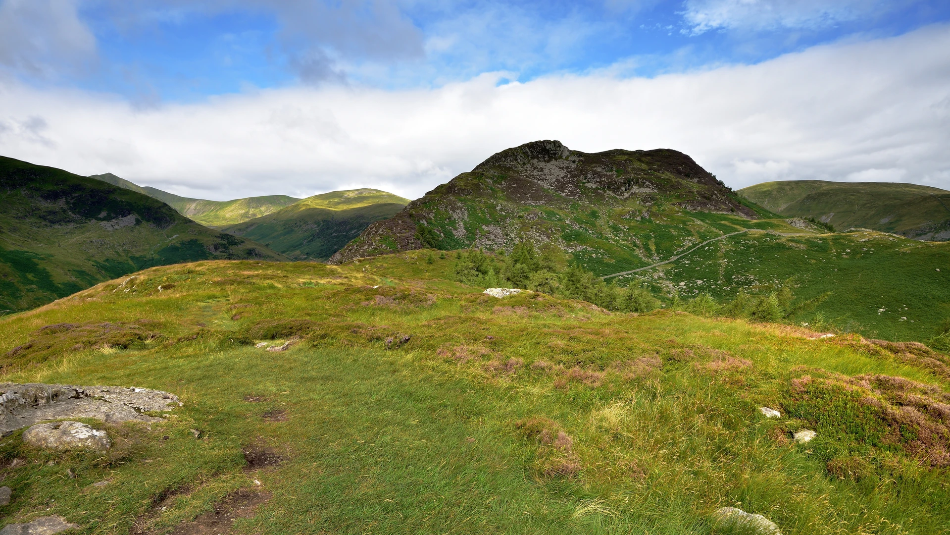
Glenridding Dodd is the lower of the two summits, but it gives one of the best immediate rewards on the route. Its position above the lake makes it an excellent viewpoint over the southern reach of Ullswater, with the village, shoreline, and surrounding fells laid out below. Older walking accounts note that this fell was especially admired for its outlook, and that still holds true today. (walkingbritain.co.uk)
From there, the route continues upward along the ridge toward Sheffield Pike. This is the more serious mountain section, with steeper, rockier ground and a more rugged fell character. Sheffield Pike stands between the Glenridding and Glencoyne valleys, and its slopes are notably steep, especially above Glenridding. The ridge can feel narrow in places, with craggy features and a more exposed atmosphere than the lower ground suggests from the village. In poor visibility, careful navigation is important, and if you are carrying a navigation app, use HiiKER alongside a proper map and compass. (en.wikipedia.org)
The summit area of Sheffield Pike is one of the route’s major highlights. Expect broad views across Ullswater, toward the Helvellyn range, and over the broken ridges and combes that define this side of the national park. The fell also has subsidiary tops and rocky features, including Heron Pike on the eastern side, which add texture to the skyline and can make the terrain feel more intricate than the distance suggests. (en.wikipedia.org)
Terrain, hazards, and planning points
For an 8 km / 5 mile loop, this walk packs in a lot of ascent, so strong footwear and good pacing matter. The lower paths can be damp or slippery after rain, while the upper fellside may include loose stone, eroded sections, and short rocky steps. In wet or windy weather, the ridge feels much more serious. Low cloud can also make line-finding awkward around junctions and on descent, especially where trods split across open fell. (leaney.org)
Because the route rises from lakeshore village to open fell quite quickly, conditions can change fast with height. Even on a mild day in Glenridding, the tops can be windy and significantly colder. Carry waterproofs, extra insulation, food, and enough water for a steep half-day outing. This is also sheep country, so expect livestock on lower and middle slopes, and keep dogs under close control where permitted.
Nature is a major part of the appeal here. The route moves from village edge and beckside habitat into open fell and rough grassland, with patches of woodland lower down and classic Lakeland upland scenery throughout. Around Ullswater and the surrounding slopes, hikers may see common upland birds such as ravens,
Surfaces
Unknown
Gravel
Asphalt
Concrete
Comments and Reviews
User comments, reviews and discussions about the Rattlebeck Bridge, Glenridding Dodd and Sheffield Pike Loop, England.
average rating out of 5
0 rating(s)
