Download
3D Flyover
Add to list
More
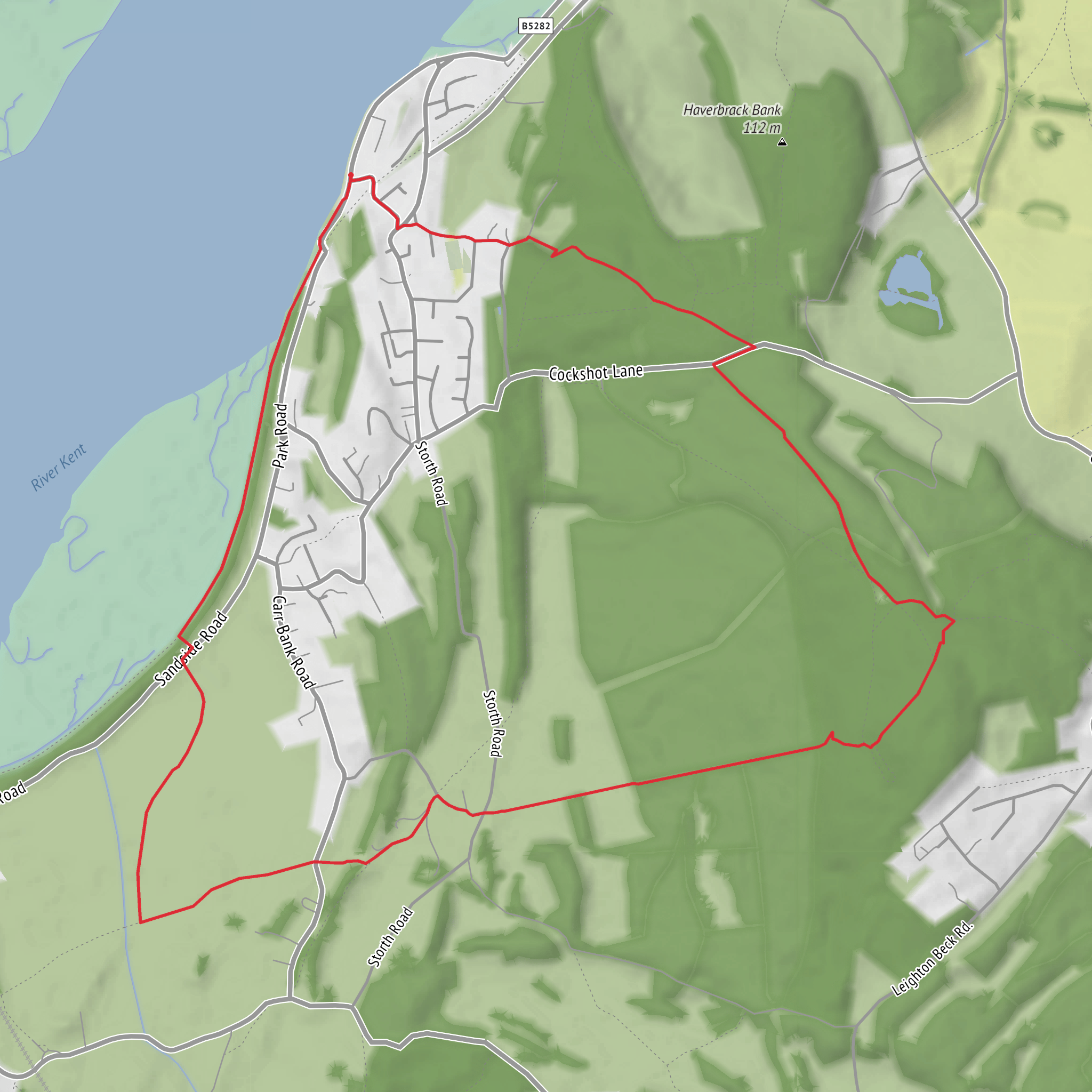
7.1 km
~1 hrs 37 min
119 m
Loop
“A gentle loop through moss, woodland and limestone, with glimpses of bay and distant fells.”
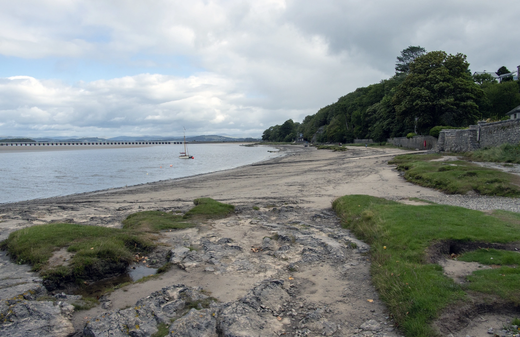
This is a gentle limestone-and-woodland circuit of about 7 km / 4.3 miles with roughly 100 m / 330 ft of ascent, ideal for walkers who want varied scenery without a long day or sustained climbing. The route sits in the Arnside & Silverdale National Landscape, on the Cumbria–Lancashire border near Beetham and Storth, an area known for mosses, ash woodland, limestone pavement, low scars, and wide views toward Morecambe Bay and the Lakeland fells. Underlaid Wood is part of a nationally important protected landscape, and Forestry England notes that much of it lies within the Underlaid SSSI. (forestryengland.uk)
The start is best thought of as being near Beetham village / Heron Corn Mill, Mill Lane, Beetham, Milnthorpe LA7 7PQ, which is one of the most practical nearby landmarks for access to Beetham Fell and the Fairy Steps area. If you are arriving by rail, the nearest station is Arnside, with trains on the Furness Line; from there, Beetham is usually reached by taxi, a longer walk, or by linking local roads and rights of way. The Arnside & Silverdale visitor information for Beetham specifically notes that Arnside is the nearest train station and also warns that parking in Beetham village is very limited, so public transport is often the easier option. (arnside-silverdale.org.uk)
If driving, plan conservatively. Parking around Beetham and the Fairy Steps is limited, and several local sources note that there is no dedicated parking right at the steps themselves. Heron Corn Mill is a useful landmark for sat-nav purposes, and some walkers use village parking where permitted, but it is important to park considerately and avoid blocking narrow lanes, gates, or resident access. (thirdeyetraveller.com)
The walking itself is easy in overall grade, but that does not mean completely flat or obstacle-free. Expect a mix of woodland paths, field-edge tracks, short rocky sections, and uneven limestone underfoot. In dry weather the route is straightforward; after rain, polished rock, roots, leaf litter, and muddy gateways can make it feel more awkward than the mileage suggests. Good grip matters more than heavy boots here. Because there are multiple intersecting paths through the woods and across the fell, having the route loaded in HiiKER is sensible. (geograph.org.uk)
What the route feels like
The opening section around Arnside Moss is usually the softest and most low-lying part of the loop, with a very different character from the higher limestone ground later on. “Moss” in this landscape refers to wetland and former peatland terrain, so even where the path is clear, the surrounding ground can feel damp, lush, and ecologically rich. This contrast is one of the pleasures of the walk: within a short distance, the route shifts from low mossland and pasture into wooded limestone country and then onto the scar and fell. The National Landscape around Arnside and Silverdale is especially valued for this close-packed variety of habitats. (arnsidesilverdaleaonb.org.uk)
As the route rises into Underlaid Wood, the atmosphere changes quickly. This is classic limestone woodland: ash-rich slopes, mossy rock, ferny hollows, and a network of paths weaving through broken ground. Forestry England identifies Underlaid Wood as one of the important woodland blocks in the area, and the wider National Landscape documentation highlights these upland mixed ashwoods as one of the defining habitats of the district. (forestryengland.uk)
The climb toward Whin Scar and Beetham Fell is modest rather than strenuous, but it is the section where the route becomes most textured underfoot. Limestone outcrops and pavement can appear in slabs and fissures, and the path may narrow between rock features or trees. Whin Scar itself is one of the route’s standout landmarks, giving the walk a more dramatic
Surfaces
Unknown
Grass
Dirt
Asphalt
Comments and Reviews
User comments, reviews and discussions about the Arnside Moss, Underlaid Wood, Whin Scar, Beetham Fell and Longtail Wood Loop, England.
average rating out of 5
0 rating(s)
