Download
3D Flyover
Add to list
More
23.8 km
~7 hrs 1 min
1351 m
Point-to-Point
“Embark on a scenic 24-kilometer trek from Rosthwaite to Patterdale, combining natural beauty, historical intrigue, and physical challenge.”
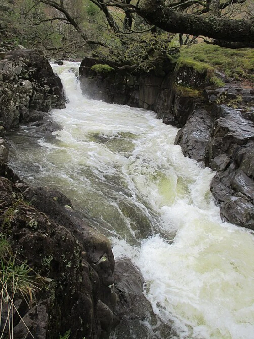
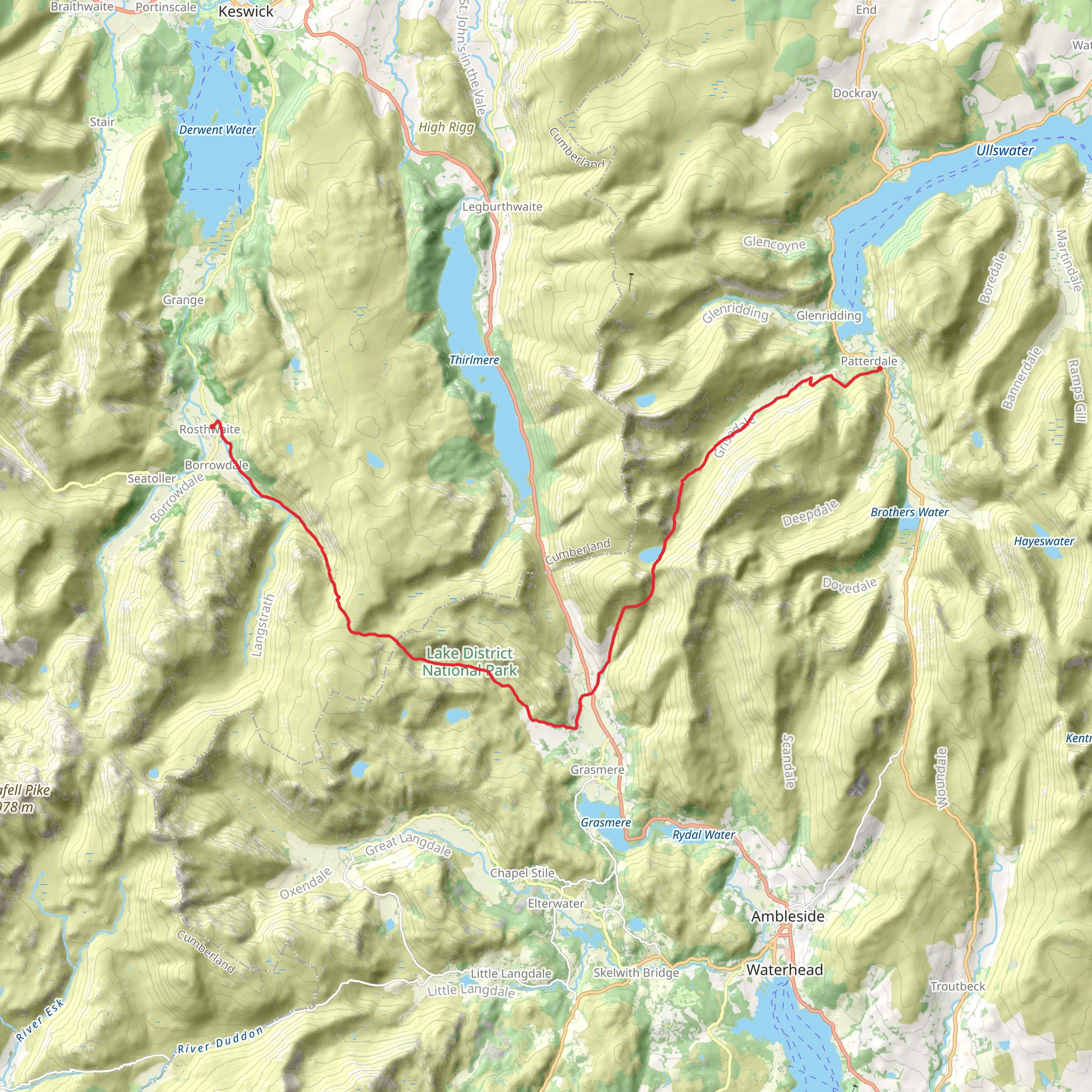
Starting near the charming village of Rosthwaite in the Borrowdale Valley, the Rosthwaite to Patterdale Walk is a captivating journey through the heart of the Lake District. This point-to-point trail spans approximately 24 kilometers (15 miles) with an elevation gain of around 1300 meters (4265 feet), offering a moderately challenging adventure for hikers.
Getting There
To reach the trailhead in Rosthwaite, you can take a bus from Keswick, which is well-connected by public transport. If driving, there are parking facilities available in Rosthwaite, though spaces can be limited during peak seasons.
The Route
The trail begins in Rosthwaite, a quaint village nestled in the Borrowdale Valley. As you set off, you'll traverse through lush woodlands and alongside the River Derwent, gradually ascending towards the first significant landmark, the Honister Pass. This section covers roughly 4 kilometers (2.5 miles) with an elevation gain of about 300 meters (984 feet).
Honister Pass to Haystacks
Honister Pass is renowned for its slate mine, which has been operational since the 18th century. From here, the trail continues towards Haystacks, a beloved fell of Alfred Wainwright. The path is rocky and steep in places, so sturdy footwear is essential. This segment is approximately 6 kilometers (3.7 miles) with an additional elevation gain of 400 meters (1312 feet).
Haystacks to Buttermere
Descending from Haystacks, you'll be greeted by the serene waters of Buttermere. This picturesque lake is surrounded by towering fells and offers a perfect spot for a rest. The descent is about 3 kilometers (1.9 miles) with a drop of 200 meters (656 feet). Keep an eye out for red squirrels and various bird species that inhabit the area.
Buttermere to Scarth Gap
Leaving Buttermere, the trail ascends again towards Scarth Gap. This section is around 4 kilometers (2.5 miles) with an elevation gain of 300 meters (984 feet). The path here is well-trodden but can be slippery in wet conditions. Scarth Gap provides stunning views of the surrounding fells and valleys.
Scarth Gap to Patterdale
The final stretch from Scarth Gap to Patterdale is the most challenging, covering approximately 7 kilometers (4.3 miles) with an elevation gain of 400 meters (1312 feet). The trail winds through rugged terrain and open moorland, eventually descending into the village of Patterdale. This area is rich in history, with connections to the Viking era and the early Christian period.
Navigation and Safety
Given the varied terrain and potential for rapidly changing weather conditions, it's crucial to have a reliable navigation tool. HiiKER is highly recommended for its detailed maps and real-time updates. Ensure you carry sufficient water, snacks, and appropriate clothing for the hike.
Wildlife and Flora
Throughout the hike, you'll encounter a diverse range of flora and fauna. The lower valleys are adorned with ancient woodlands, while the higher elevations feature hardy alpine plants. Wildlife enthusiasts may spot red deer, peregrine falcons, and even the elusive golden eagle.
Historical Significance
The Lake District is steeped in history, from its ancient Norse settlements to its role in the Romantic literary movement. The landscape has inspired poets like William Wordsworth and Samuel Taylor Coleridge, whose works celebrate the natural beauty of the region.
This hike offers a blend of natural splendor, historical intrigue, and physical challenge, making it a memorable experience for any outdoor enthusiast.
What to expect?
Activity types
Comments and Reviews
User comments, reviews and discussions about the Rosthwaite to Patterdale Walk, England.
4.4
average rating out of 5
5 rating(s)
