Download
3D Flyover
Add to list
More
8.2 km
~2 hrs 2 min
244 m
Loop
“Embark on the scenic 8 km Nether Wasdale Loop, where natural beauty, history, and moderate challenge converge.”
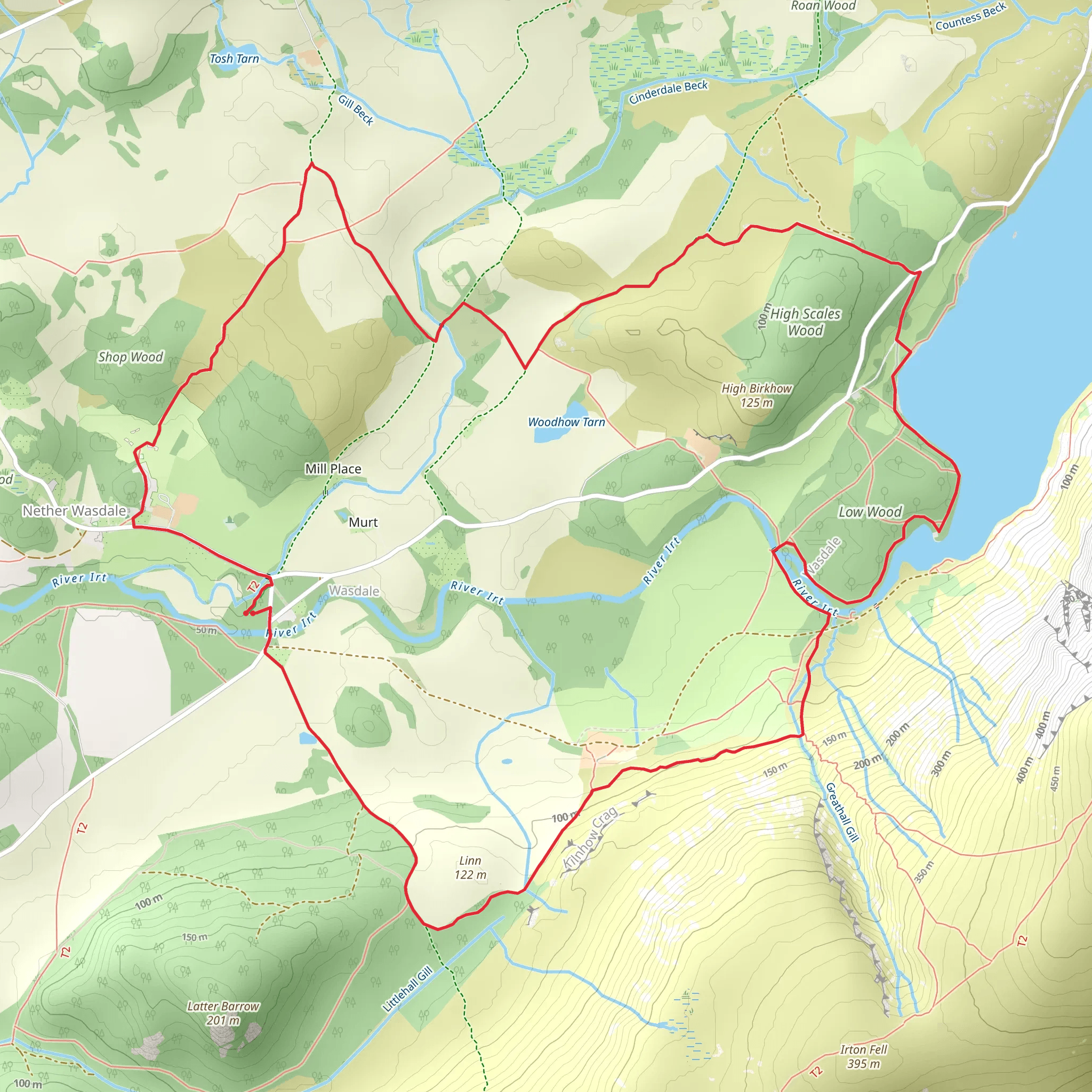
Starting near the charming village of Nether Wasdale in Cumberland, England, the Nether Wasdale Loop is an 8 km (approximately 5 miles) trail with an elevation gain of around 200 meters (656 feet). This loop trail is rated as medium difficulty, making it suitable for moderately experienced hikers.
Getting There
To reach the trailhead, you can either drive or use public transport. If driving, head towards Nether Wasdale, which is accessible via the A595 road. For those using public transport, the nearest train station is Seascale, from where you can take a local bus or taxi to Nether Wasdale.
Trail Overview
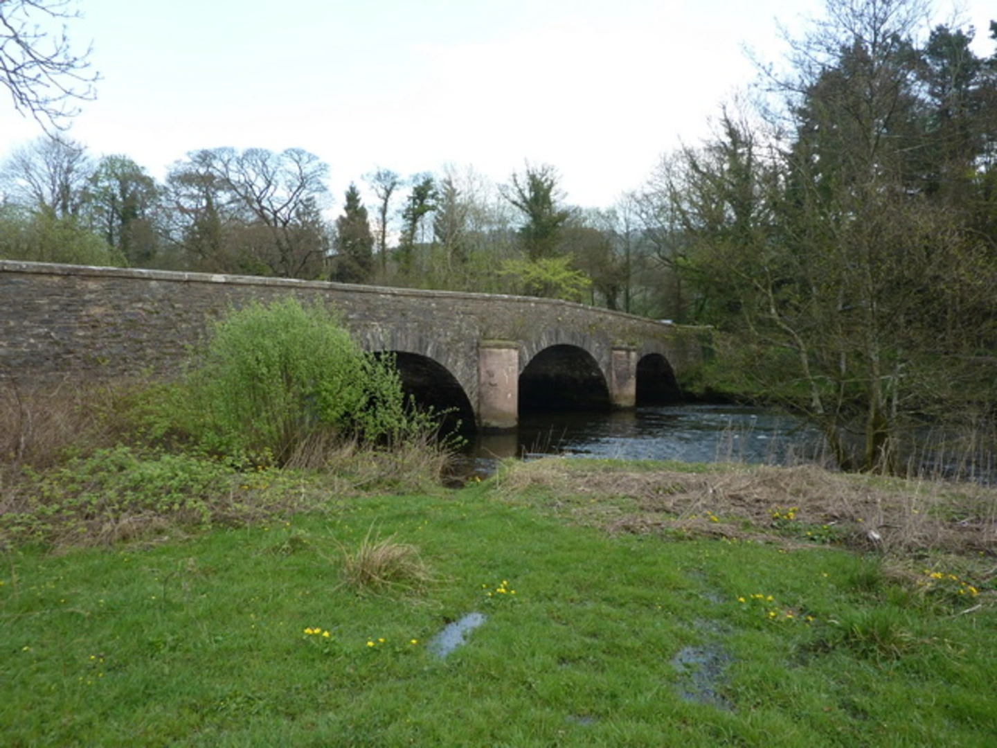
The trail begins near the village, offering a picturesque start with views of traditional English countryside. As you set off, you'll be greeted by rolling hills and lush greenery. The initial part of the trail is relatively flat, allowing you to ease into the hike.
Significant Landmarks and Nature
Around the 2 km (1.2 miles) mark, you'll encounter the serene Wast Water, England's deepest lake. The lake is framed by steep screes and rugged peaks, providing a dramatic backdrop. Keep an eye out for the local wildlife, including red squirrels and various bird species such as peregrine falcons and buzzards.
Elevation Gain and Terrain
As you continue, the trail begins to ascend gradually. By the time you reach the 4 km (2.5 miles) point, you'll have gained a significant portion of the 200 meters (656 feet) elevation. The terrain here can be rocky and uneven, so sturdy hiking boots are recommended. The ascent offers panoramic views of the surrounding fells, including Scafell Pike, England's highest peak.
Historical Significance
The region is steeped in history. Near the halfway point, you'll pass by the remnants of ancient stone circles, believed to date back to the Bronze Age. These archaeological sites offer a glimpse into the area's rich past and are a fascinating stop for history enthusiasts.
Navigation and Safety
Given the varied terrain and potential for sudden weather changes, it's advisable to use a reliable navigation tool like HiiKER to stay on track. The trail is well-marked, but having a digital map can provide extra assurance.
Final Stretch
The descent begins around the 6 km (3.7 miles) mark, leading you back towards Nether Wasdale. This section of the trail is less strenuous, allowing you to enjoy the final leg of your hike at a more relaxed pace. As you approach the village, you'll pass through charming meadows and woodlands, offering a peaceful end to your journey.
Wildlife and Flora
Throughout the hike, you'll encounter a variety of flora, including heather, gorse, and wildflowers, especially vibrant in the spring and summer months. The diverse ecosystem supports a range of wildlife, so keep your camera ready for unexpected encounters.
This loop trail offers a balanced mix of natural beauty, historical intrigue, and moderate physical challenge, making it a rewarding experience for those looking to explore the scenic landscapes of Cumberland.
What to expect?
Activity types
Comments and Reviews
User comments, reviews and discussions about the Nether Wasdale Loop, England.
4.5
average rating out of 5
4 rating(s)
