Search a hike or location
Cumberland, England
Download
3D Flyover
Add to list
Complete
More
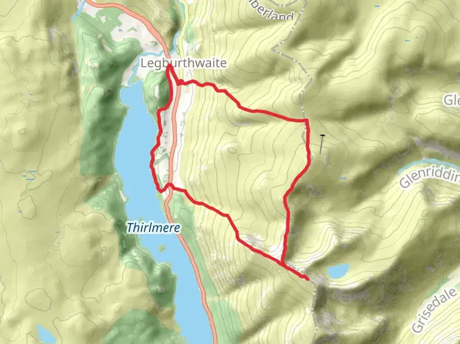
8.2 km
~2 hrs 37 min
289 m
Loop
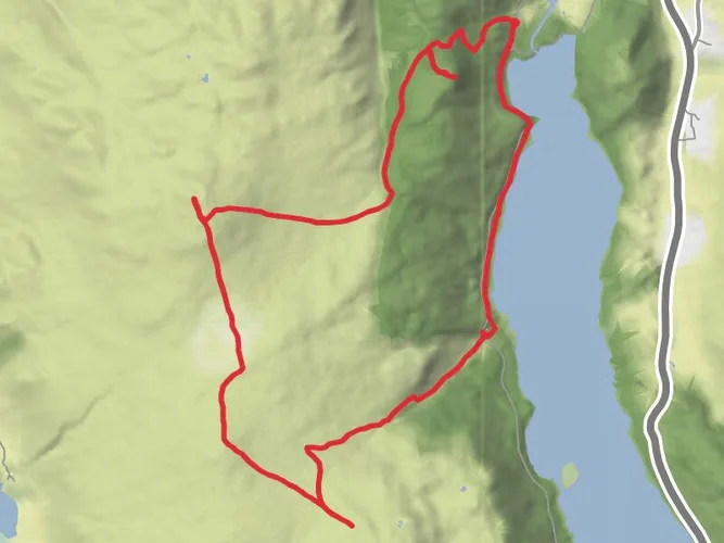
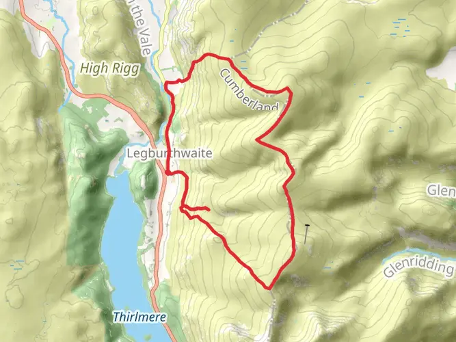
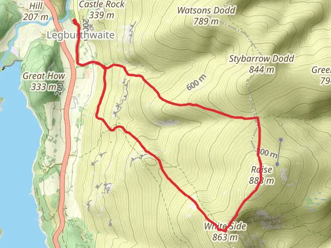
Valley walk followed by climb up to High Rigg and its ridge top path
What to expect?
Surfaces
Unknown
87% · 7.12km
Unpaved
13% · 1.05km
User comments, reviews and discussions about the High Rigg from Thirlmere, England.
star
average rating out of 5
0 rating(s)
Nearby Hikes
Troutbeck to Gatesgarth Farm Walk
Cumbria, England
75.8 km · 4814 m
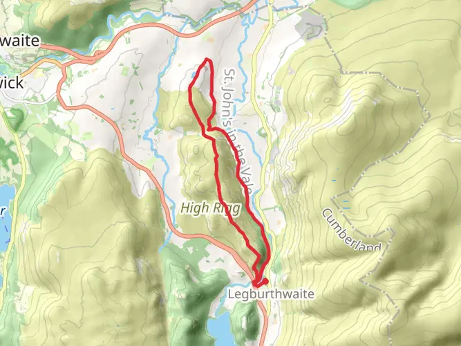
High Rigg Walk
6.2 km · 273 m
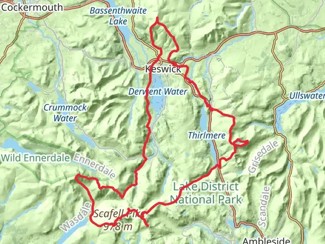
Top Ten Pikes Loop Walk
95.9 km · 6232 m
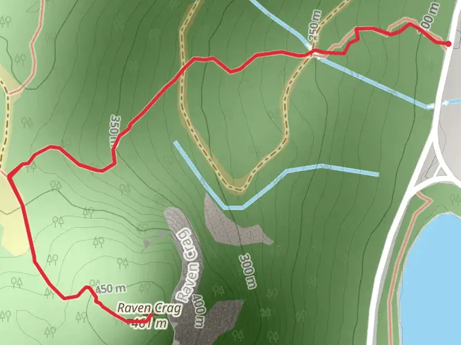
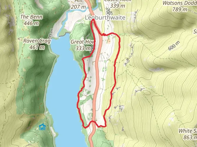
Raven Crag
4.5 km · 289 m
Stybarrow Dodd
7.3 km · 661 m
Watson's Dodd
4.0 km · 601 m
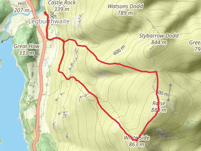
White Side
7.2 km · 699 m
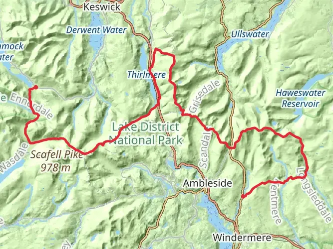
Youth Hostels Walk from Thirlmere
106.6 km · 3482 m
Raise and Helvellyn Loop via Thirlmere
13.7 km · 909 m
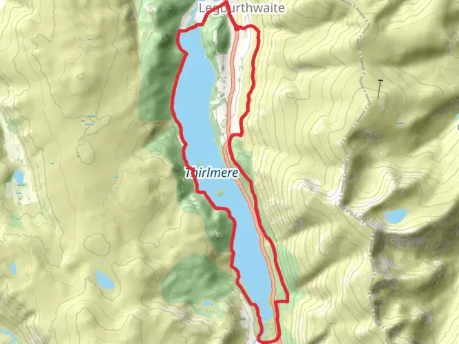
Thirlmere Loop from Legburthwaite
17.0 km · 448 m
Borrowdale Ale Trail
45.1 km · 1856 m
Raven Crag, High Seat, High Tove and Armboth Fell Loop
10.8 km · 517 m
Stybeck Waterfall, White Side, Stybarrow Dodd and Watson Dodd Loop
14.7 km · 1168 m
Wren Crag, High Rigg and Tewet Tarn Loop
11.1 km · 494 m
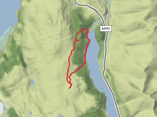
Raven Crag from Thirlmere Dam
2.0 km · 252 m
Great How and Fisherplace Gill Waterfalls Loop
6.5 km · 275 m
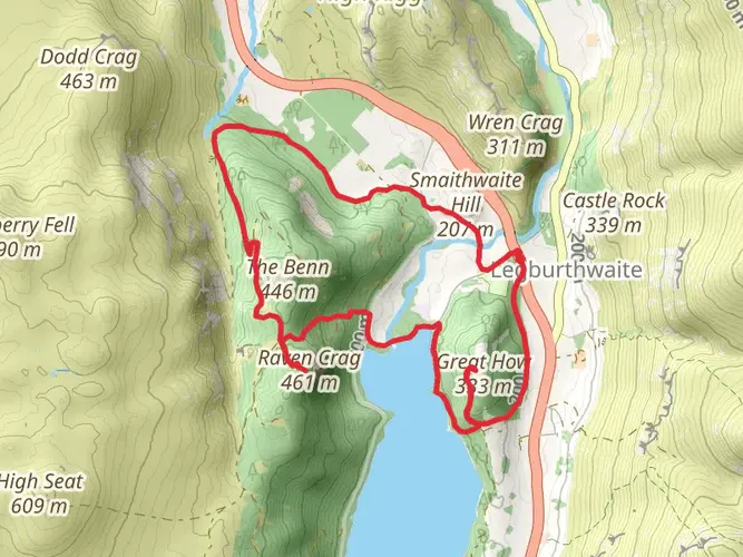
Raven Crag and Great How Loop - Thirlmere
9.0 km · 535 m
Raven Crag and Armboth Fell Loop - 2 WRs
9.1 km · 381 m
Raise and White Side via Sticks Loop Path
9.4 km · 748 m
Raise and White Side via Sticks Path
Continue in App
Continue in Browser
Choose which optional cookies and similar technologies HiiKER can use on this device. Privacy & cookie policy
Sign-in, security, checkout, support chat when you open it, and remembering these choices.
Google Analytics and PostHog (our own EU-hosted analytics) — which pages are visited and how features are used, so we can improve HiiKER.
Google Ads, Meta, Reddit and X pixels and Rewardful referral tracking — they tell those platforms when someone arrives from, or buys after, one of our ads or referrals. Turning this off opts you out of the "sale" or "sharing" of your personal information for targeted advertising.