Download
3D Flyover
Add to list
More
9.8 km
~1 hrs 59 min
23 m
Loop
“Enjoy a 10 km coastal loop near Cumberland with panoramic views, rich history, and abundant wildlife.”
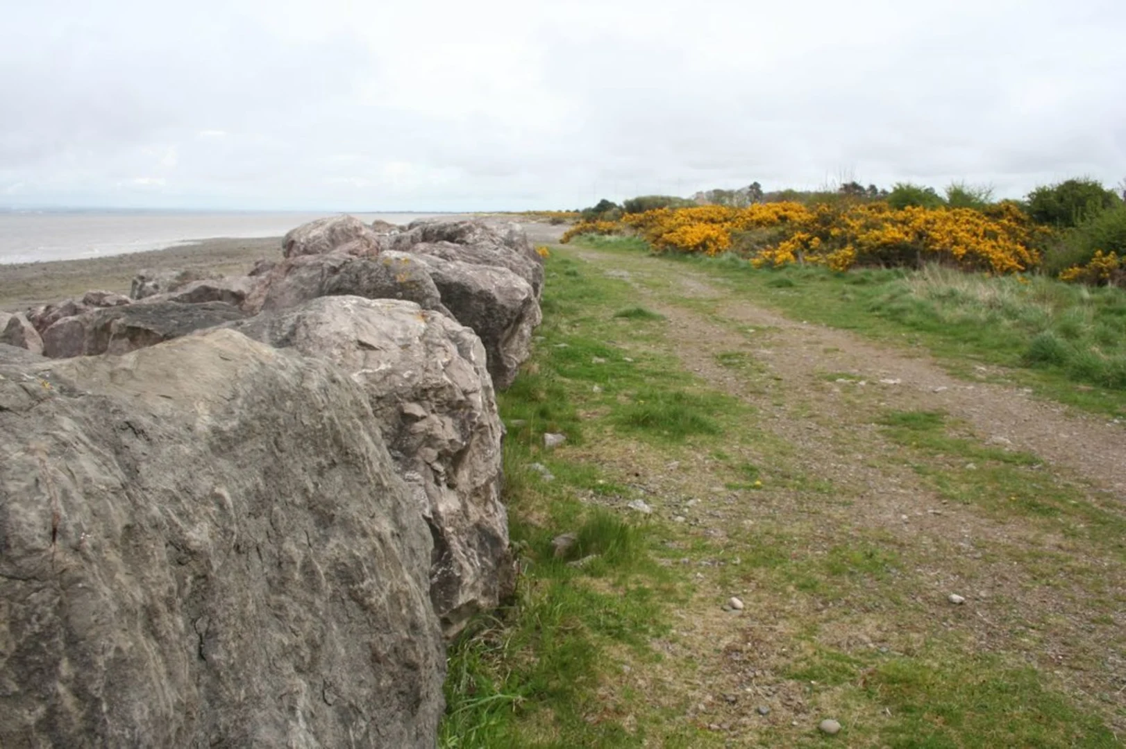
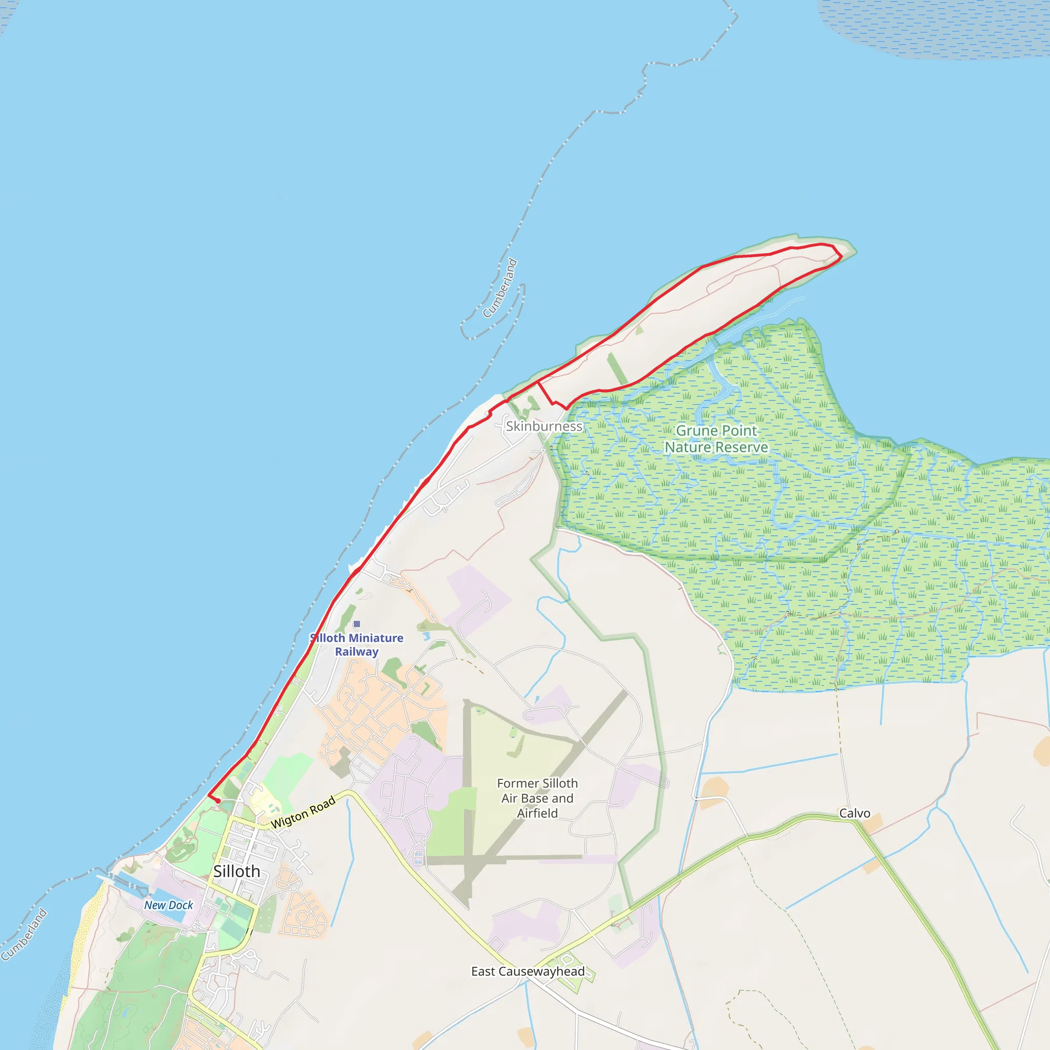
Starting near the charming town of Cumberland, England, the Grune Point and Mean High Water trail offers a delightful 10 km (approximately 6.2 miles) loop with virtually no elevation gain, making it accessible for a wide range of hikers. This medium-difficulty trail is perfect for those looking to enjoy a coastal walk with stunning views and rich historical context.
Getting There
To reach the trailhead, you can either drive or use public transport. If driving, head towards the town of Cumberland and look for parking options near the coast. For those using public transport, the nearest significant landmark is the Cumberland train station. From there, local buses or a short taxi ride can take you to the trailhead.
Trail Overview
The trail begins near the coast, offering immediate views of the Solway Firth. As you start your hike, you'll notice the flat terrain, making it an easy walk despite the medium difficulty rating. The trail is well-marked, but it's always a good idea to have a navigation tool like HiiKER to ensure you stay on track.
Points of Interest
Grune Point
About 3 km (1.9 miles) into the hike, you'll reach Grune Point, a significant landmark known for its panoramic views of the Solway Firth and the Scottish coastline. This area is a haven for birdwatchers, with species like oystercatchers, curlews, and various gulls frequently spotted. Bring your binoculars for a closer look at these fascinating birds.
Mean High Water
Continuing along the trail, you'll follow the coastline, where the term "Mean High Water" refers to the average high tide line. This part of the trail is particularly scenic, with the gentle lapping of waves and the occasional sighting of seals basking on the rocks. The coastal environment is rich in marine life, so keep an eye out for crabs, starfish, and other tidal creatures.
Historical Significance
The region around Cumberland has a rich history, dating back to Roman times. As you walk, you'll pass by remnants of ancient settlements and possibly even Roman artifacts. The Solway Firth itself has been a crucial maritime route for centuries, and the area is steeped in stories of trade, conflict, and exploration.
Practical Tips
- Footwear: Given the flat terrain, comfortable walking shoes are sufficient. However, parts of the trail can be muddy, especially after rain, so waterproof footwear is advisable.
- Weather: The coastal weather can be unpredictable. Bring layers, a waterproof jacket, and sun protection.
- Supplies: There are no facilities along the trail, so carry enough water and snacks for the entire hike.
- Wildlife: Respect the local wildlife by keeping a safe distance and not disturbing their natural habitat.
Navigation
While the trail is generally well-marked, using HiiKER can provide additional reassurance and help you navigate any less obvious sections. The app can also offer real-time updates on weather conditions and any trail advisories.
This 10 km loop offers a unique blend of natural beauty, wildlife, and historical intrigue, making it a rewarding experience for any hiker.
What to expect?
Activity types
Comments and Reviews
User comments, reviews and discussions about the Grune Point and Mean High Water, England.
5.0
average rating out of 5
1 rating(s)
