Download
3D Flyover
Add to list
More
7.7 km
~2 hrs 21 min
491 m
Loop
“A picturesque 8 km loop with stunning views, moderate challenges, and rich historical intrigue.”
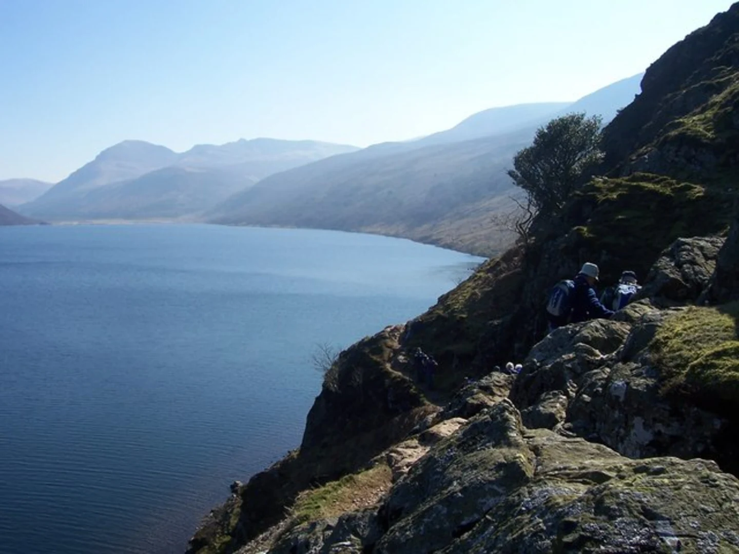
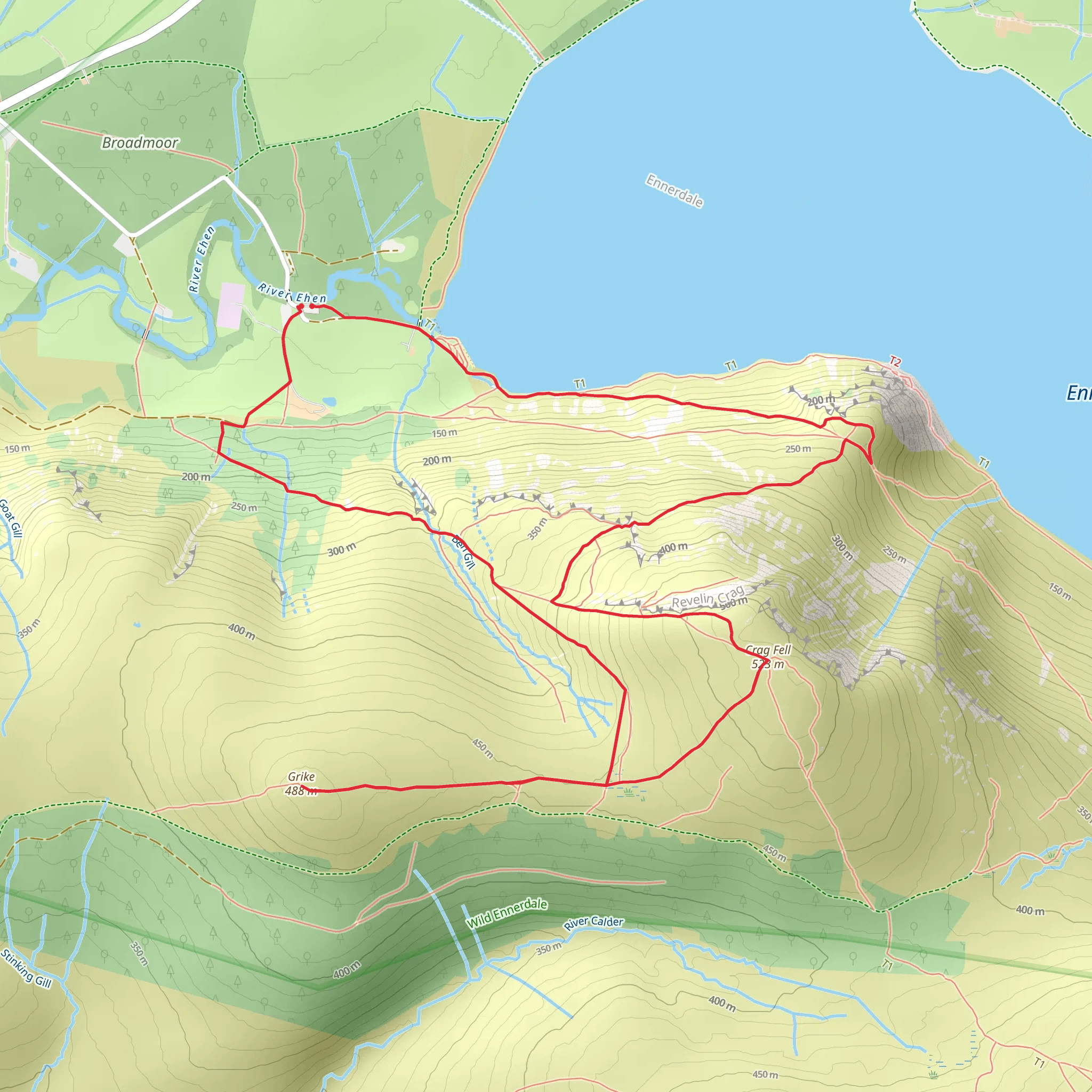
Starting near the picturesque Ennerdale Water in Cumberland, England, this 8 km (approximately 5 miles) loop trail offers a moderate challenge with an elevation gain of around 400 meters (about 1,312 feet). The trailhead is conveniently located near the Ennerdale Water car park, which is accessible by car. For those using public transport, the nearest significant landmark is the town of Cleator Moor, from where you can take a local taxi or bus service to the trailhead.
Trail Overview
The Crag Fell and Grike Loop begins with a gentle ascent through lush woodland, offering a serene start to your hike. As you progress, the trail opens up to expansive views of Ennerdale Water, one of the most tranquil lakes in the Lake District. The initial 2 km (1.2 miles) of the trail are relatively easy, making it a good warm-up for the more challenging sections ahead.
Crag Fell
At around the 3 km (1.9 miles) mark, you'll reach Crag Fell. This section involves a steeper climb, but the effort is well worth it. The summit of Crag Fell stands at 523 meters (1,716 feet) and offers panoramic views of the surrounding fells and Ennerdale Water below. This is a great spot to take a break and soak in the scenery. The area is also rich in birdlife, so keep an eye out for species like the peregrine falcon and red grouse.
Grike
Continuing on, the trail descends slightly before ascending again towards Grike. This part of the trail is less steep but still requires a good level of fitness. Grike stands at 488 meters (1,601 feet) and offers equally stunning views. The terrain here is a mix of grassy paths and rocky outcrops, so sturdy hiking boots are recommended. The flora in this area includes heather and bilberry, adding a splash of color to the landscape.
Historical Significance
The region around Ennerdale Water has a rich history. The valley was once home to several small farming communities, and remnants of old stone walls and farmsteads can still be seen along the trail. Additionally, the area played a role during World War II as a training ground for British and American troops. The historical significance adds an extra layer of interest to your hike.
Descent and Return
The descent from Grike is gradual and takes you through a mix of open moorland and forested areas. This section of the trail is about 3 km (1.9 miles) and offers a peaceful end to your hike. As you make your way back to the trailhead, you'll pass through areas rich in wildlife, including red squirrels and roe deer.
Navigation and Safety
Given the varied terrain and elevation changes, it's advisable to use a reliable navigation tool like HiiKER to stay on track. Weather conditions in the Lake District can change rapidly, so be prepared with appropriate clothing and gear. Always check the weather forecast before setting out and inform someone of your plans.
This loop trail offers a perfect blend of natural beauty, moderate challenge, and historical intrigue, making it a rewarding experience for any hiker.
What to expect?
Activity types
Comments and Reviews
User comments, reviews and discussions about the Crag Fell and Grike Loop via Ennerdale Water, England.
4.5
average rating out of 5
2 rating(s)
