Download
3D Flyover
Add to list
More
Trail length
35.5 km
Time
~2 days
Elevation Gain
866 m
Hike Type
Multi-Day
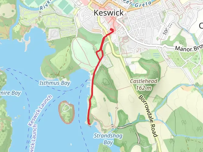
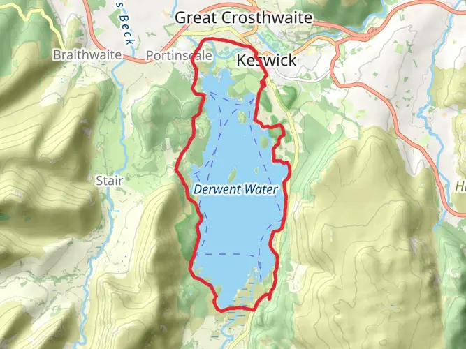
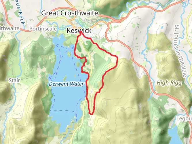
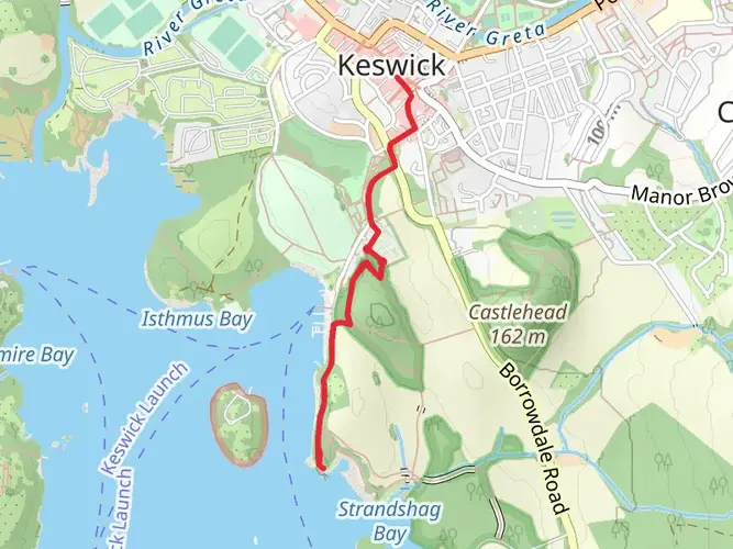
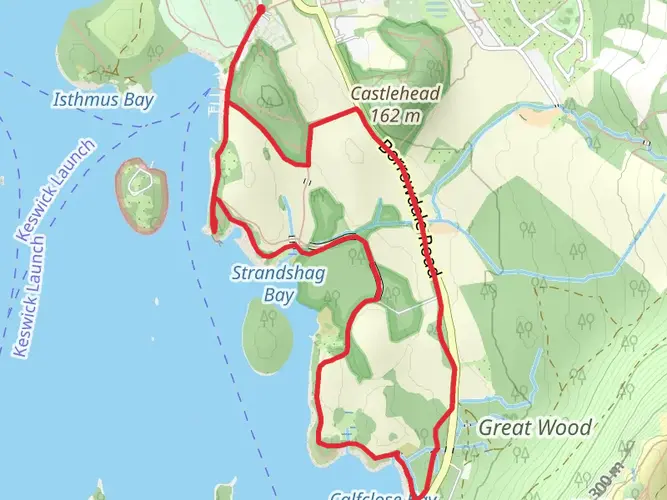
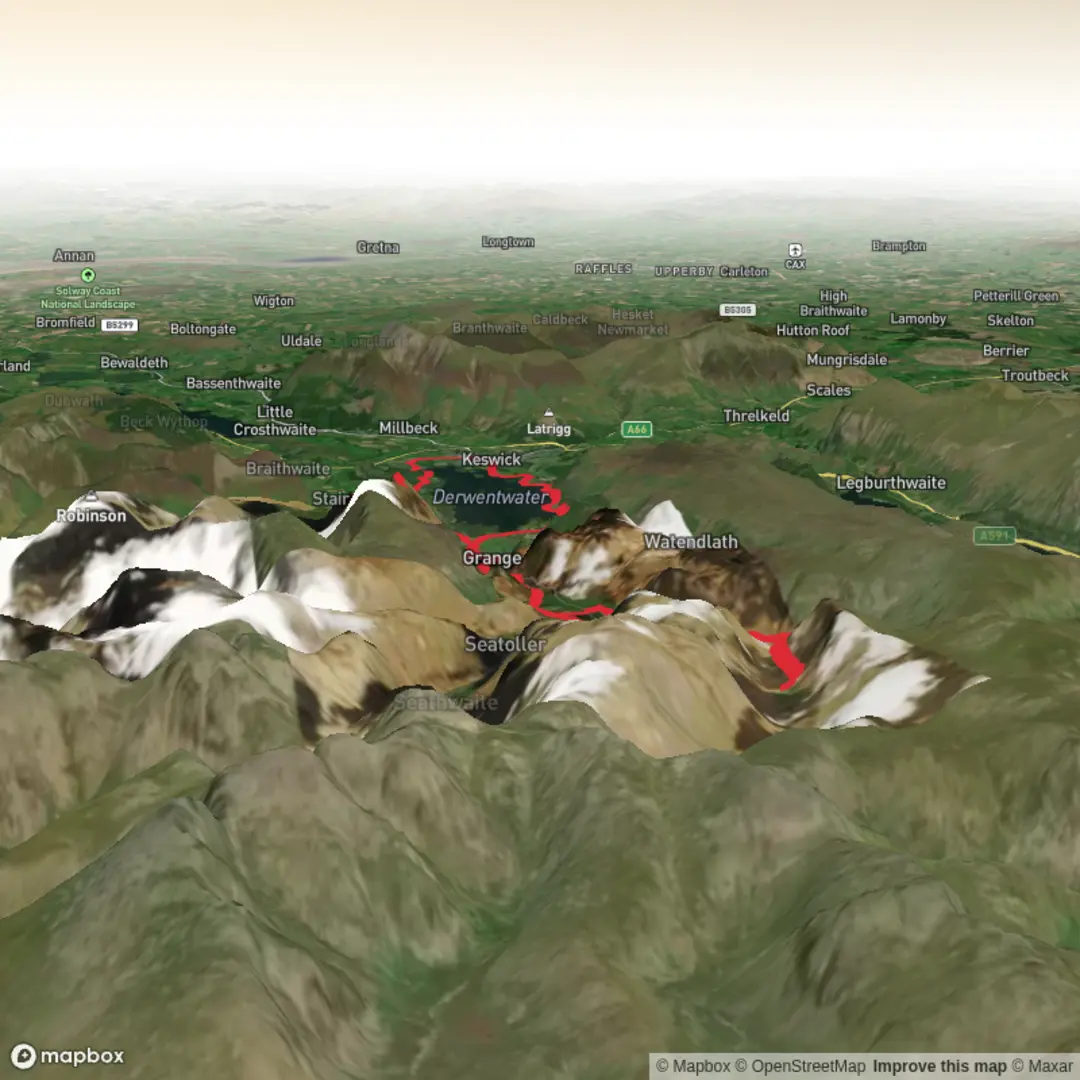
A rewarding multi-day route linking the classic Catbells ridge to the wild swimming spot of Black Moss Pot. Covering about 35.5 km with roughly 866 m of ascent and 986 m of descent, it offers steady, medium-grade challenges on mixed terrain. Expect panoramic Lake District views, airy ridgelines, and peaceful valley sections, finishing close to your starting area for an elegant loop-style adventure.
Created by
The Mountain Goat Hiker

What to expect?
waterfalls
rivers
native-woods
lakes
mountain-views
wildflowers
wildlife
scenic-views
rock-formations
dog-friendly
forest
Activity types
scenic-routes
environmental-education
foraging
long-distance
birding
seasonal-hikes
stargazing
camping
backpacking
walking
photography
hiking
wildflower-viewing
wildlife-viewing
nature-trips
Surfaces
Unknown
Gravel
Asphalt
Fine Gravel
Compacted Gravel
Dirt
Paving Stones
Ground
Concrete
Cobblestone
Unpaved
Comments and Reviews
User comments, reviews and discussions about the Catbells to Black Moss Pot, England.
average rating out of 5
0 rating(s)