Download
Preview
Add to list
More
Trail length
12.3 km
Time
~3 hrs 46 min
Elevation Gain
787 m
Hike Type
Loop
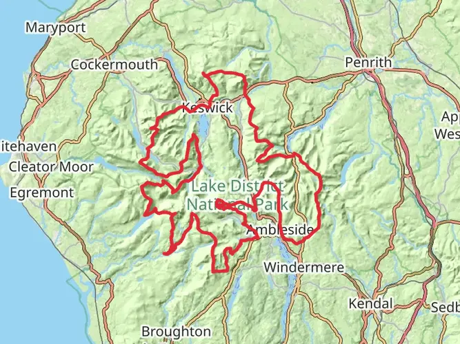
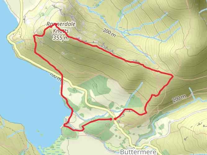
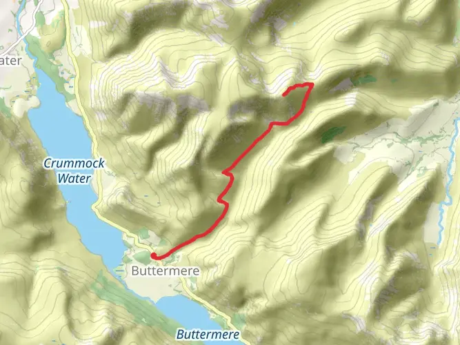
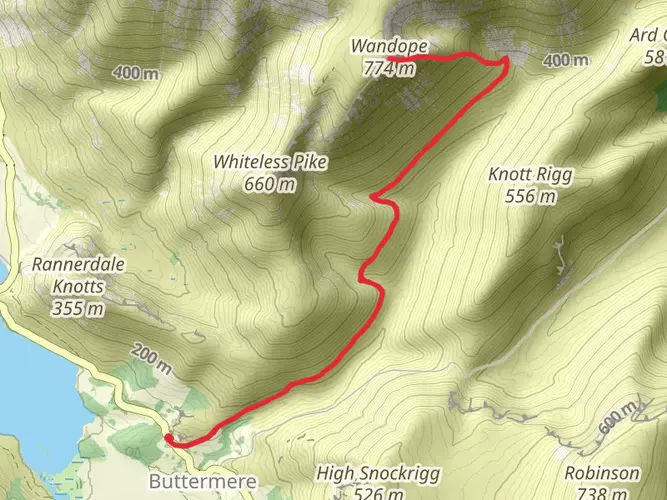
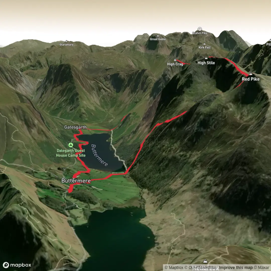
This medium hike from Cumberland covers about 7.6 miles with around 2,665 ft of ascent and 2,802 ft of descent, making it a solid outing for reasonably fit walkers. The route loops between points near 54.544047, -3.280421 and 54.540351, -3.275108, likely offering changing views over the surrounding Cumbrian landscape. Expect steady climbs and descents rather than scrambling, making it a rewarding single‑day adventure with a good sense of elevation.

Created by
Kenuff

What to expect?
forest
lakes
mountain-views
Activity types
hiking
Surfaces
Unknown
Grass
Fine Gravel
Dirt
Compacted Gravel
Asphalt
Gravel
Comments and Reviews
User comments, reviews and discussions about the Buttermere top Loop, England.
average rating out of 5
0 rating(s)