Download
Preview
Add to list
More
11.0 km
~3 hrs 48 min
968 m
Loop
“Embark on a challenging 11 km loop hike from Honister Slate Mine, offering stunning views and rich history.”
Starting your hike near Cumberland, England, this loop trail spans approximately 11 kilometers (around 7 miles) with an elevation gain of about 900 meters (approximately 2,950 feet). The trailhead is accessible by car, with parking available near Honister Slate Mine, a well-known landmark in the area. For those using public transport, the nearest bus stop is in Seatoller, from where you can walk to the trailhead.
Initial Ascent and Moses Trod
The hike begins with a steady ascent along Moses Trod, an old miner's path named after a legendary smuggler. This section is relatively straightforward but can be rocky and uneven, so sturdy footwear is essential. As you climb, you'll gain about 300 meters (984 feet) in elevation over the first 2 kilometers (1.2 miles). The path offers stunning views of the surrounding fells and valleys, with the Honister Pass visible in the distance.
Brandreth and Green Gable
After reaching the top of Moses Trod, you'll continue towards Brandreth. This section is less steep but still requires careful footing. Brandreth offers panoramic views of the Lake District, including Buttermere and Crummock Water. From Brandreth, the trail leads you to Green Gable, another prominent peak. The ascent to Green Gable is more gradual, and you'll gain an additional 200 meters (656 feet) in elevation over the next 1.5 kilometers (0.9 miles).
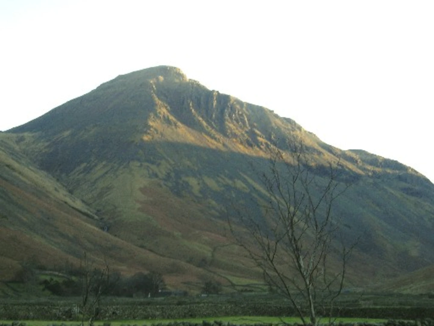
Great Gable
The trail then takes you to Great Gable, one of the most iconic peaks in the Lake District. The climb to Great Gable is the most challenging part of the hike, with a steep ascent that gains about 400 meters (1,312 feet) in just under 2 kilometers (1.2 miles). The summit offers breathtaking views of the surrounding fells and valleys, including Scafell Pike, England's highest peak. Great Gable is also historically significant, with a memorial to fallen climbers located at the summit.
Descent via Base Brown
From Great Gable, the trail descends towards Base Brown. This section can be tricky, especially in wet conditions, as the path is steep and rocky. You'll lose about 300 meters (984 feet) in elevation over the next 2 kilometers (1.2 miles). Base Brown offers a more gentle descent, with grassy slopes and fewer rocks. This part of the trail is a good opportunity to spot local wildlife, including red deer and various bird species.
Return to Trailhead
The final stretch of the hike takes you back to the trailhead near Honister Slate Mine. This section is relatively flat and easy, allowing you to enjoy the surrounding scenery without much effort. You'll cover the last 3 kilometers (1.8 miles) with minimal elevation change, making it a pleasant end to a challenging hike.
Navigation and Safety
Given the varied terrain and potential for rapidly changing weather conditions, it's advisable to use a reliable navigation tool like HiiKER to stay on track. The trail is well-marked, but fog and rain can obscure markers, making navigation challenging. Always carry a map, compass, and sufficient supplies, including water, food, and extra clothing.
Historical Significance
The area around this trail is rich in history, particularly related to mining. Honister Slate Mine has been operational for centuries and offers guided tours if you wish to learn more about the region's industrial heritage. Additionally, the memorial on Great Gable serves as a poignant reminder of the area's significance to the climbing community.
This trail offers a mix of challenging ascents, stunning views, and historical landmarks, making it a rewarding experience for those prepared for its demands.

What to expect?
Activity types
Comments and Reviews
User comments, reviews and discussions about the Brandreth, Great Gable, Green Gable, Base Brown via Moses Trod, England.
4.67
average rating out of 5
3 rating(s)