Download
3D Flyover
Add to list
More
18.9 km
~4 hrs 18 min
321 m
Loop
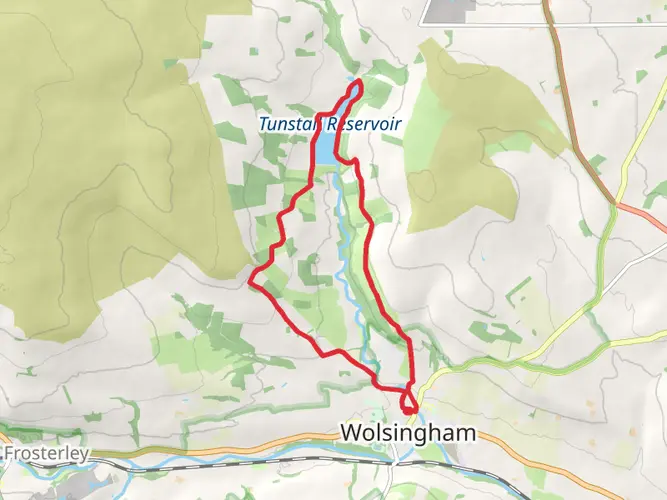
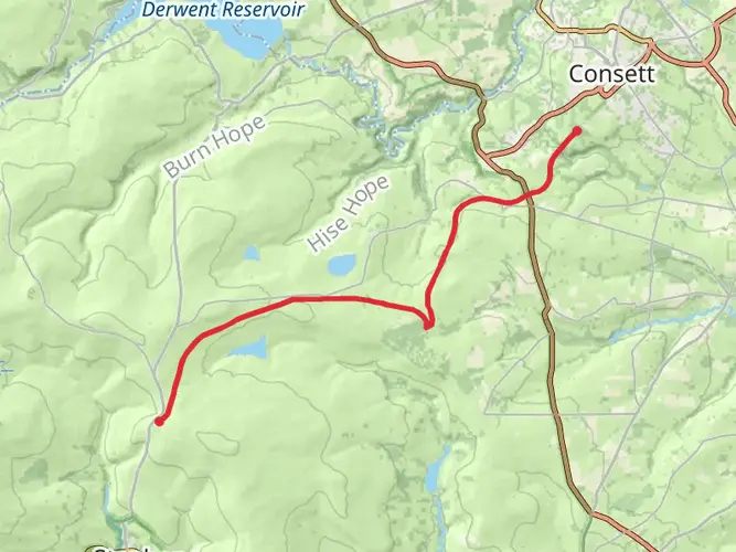
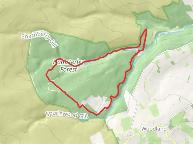
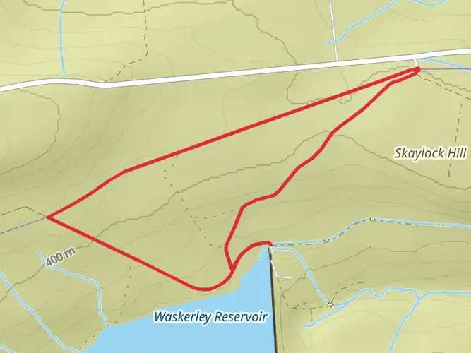
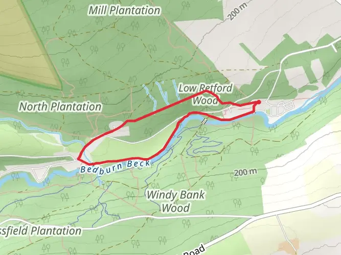
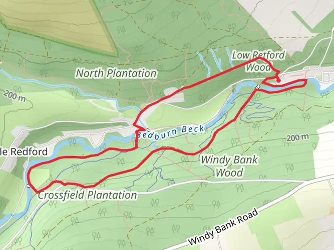
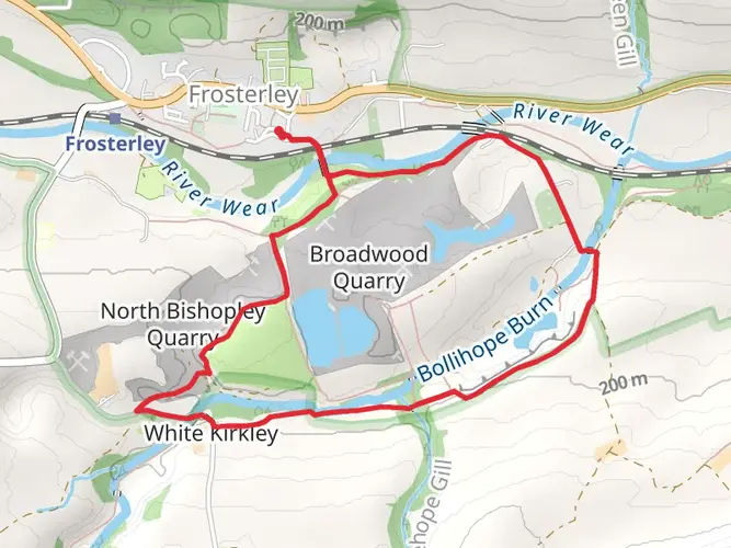
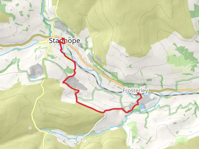
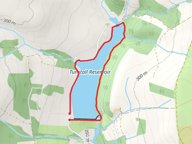
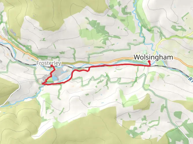
Challenging 11.7‑mile loop from Frosterley with steady climbs and long stretches on open moorland. Expect about 4.5 hours on the trail, with roughly 1,118 ft of ascent and 1,334 ft of descent. Paths can be rough and exposed, demanding good fitness and navigation skills. Views take in the Wear valley and surrounding upland farms, with sections of quiet lanes and tracks offering brief respite between tougher moorland sections.
AI Planner
Days planned around your pace, with somewhere to stay each night.

Surfaces
Unknown
Compacted Gravel
Asphalt
Grass
Dirt
Unpaved
Fine Gravel
Concrete
Comments and Reviews
User comments, reviews and discussions about the Tunstall Reservoir and Wolsingham Bridge Loop, England.
5.0
average rating out of 5
1 rating(s)