Download
Preview
Add to list
More
14.8 km
~3 hrs 27 min
296 m
Loop
“The Grassholme, Blackton, and Hury Reservoir Loop offers scenic beauty, moderate challenge, and historical intrigue for hikers.”
Starting near County Durham, England, the Grassholme, Blackton, and Hury Reservoir Loop is a picturesque 15 km (approximately 9.3 miles) loop trail with an elevation gain of around 200 meters (656 feet). This trail offers a medium difficulty rating, making it suitable for moderately experienced hikers.
Getting There
To reach the trailhead, you can drive or use public transport. If driving, set your GPS to Grassholme Reservoir, which is located near Middleton-in-Teesdale. For those using public transport, the nearest significant town is Barnard Castle. From Barnard Castle, you can take a local bus to Middleton-in-Teesdale and then a taxi or a short bus ride to Grassholme Reservoir.
Trail Overview
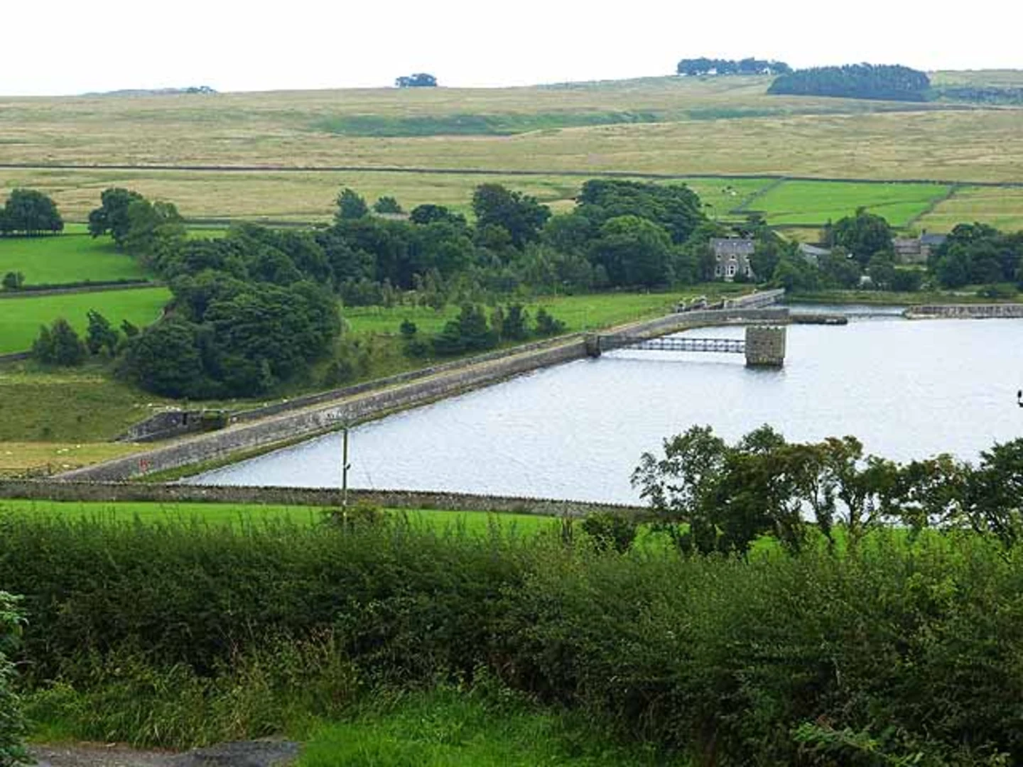
The loop begins at Grassholme Reservoir, a serene body of water surrounded by rolling hills and lush greenery. As you start your hike, you'll follow a well-marked path that takes you around the reservoir's perimeter. The initial section is relatively flat, making it a good warm-up for the more challenging parts ahead.
Grassholme Reservoir to Blackton Reservoir
After approximately 3 km (1.9 miles), you'll reach the southern tip of Grassholme Reservoir. Here, the trail begins to ascend gently, offering panoramic views of the surrounding countryside. Keep an eye out for local wildlife, including various bird species like herons and kingfishers. The path then leads you towards Blackton Reservoir, another stunning body of water. This section is about 4 km (2.5 miles) long and includes a mix of open fields and wooded areas.
Blackton Reservoir to Hury Reservoir
Continuing on, you'll traverse a series of small hills and valleys, gaining and losing elevation as you go. This part of the trail is approximately 5 km (3.1 miles) and offers some of the most scenic views of the hike. You'll pass through ancient woodlands and might even spot deer grazing in the distance. The trail then descends towards Hury Reservoir, where you'll find a perfect spot for a mid-hike break.
Hury Reservoir to Trailhead
The final leg of the loop takes you back towards Grassholme Reservoir, covering the remaining 3 km (1.9 miles). This section is relatively flat and easy, allowing you to enjoy the tranquil surroundings as you make your way back to the starting point.
Historical Significance
The area around these reservoirs has a rich history. The reservoirs themselves were constructed in the late 19th and early 20th centuries to supply water to the growing industrial towns in the region. Along the trail, you'll come across remnants of old stone walls and farmhouses, offering a glimpse into the area's agricultural past.
Navigation and Safety
For navigation, it's highly recommended to use the HiiKER app, which provides detailed maps and real-time updates. The trail is well-marked, but having a reliable navigation tool will ensure you stay on track. Always carry sufficient water, snacks, and a basic first-aid kit. Weather in this region can be unpredictable, so pack a waterproof jacket and wear sturdy hiking boots.
This loop trail offers a blend of natural beauty, moderate physical challenge, and historical intrigue, making it a rewarding experience for any hiker.

What to expect?
Activity types
Comments and Reviews
User comments, reviews and discussions about the Grassholme, Blackton and Hury Reservoir Loop, England.
4.67
average rating out of 5
3 rating(s)