
Download
3D Flyover
Add to list
More
14.0 km
~3 hrs 9 min
220 m
Loop
“A mellow Cotswold ramble threads honey-stone villages, rolling pastures, and quiet river valleys.”
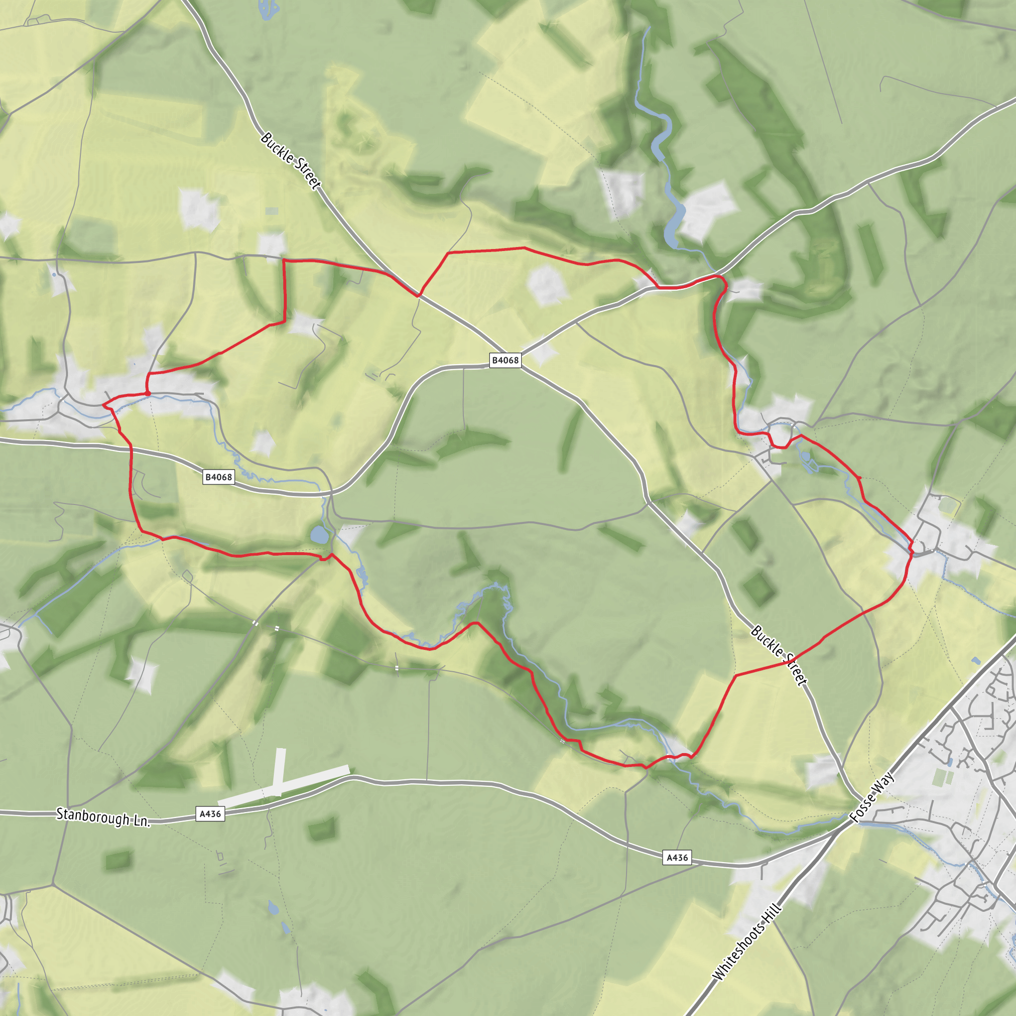
This easy Cotswold loop covers about 14 km / 8.7 miles with roughly 200 m / 656 ft of ascent, linking quiet valley walking, open pasture, and two of the region’s best-known limestone villages. Expect a route that feels gentle rather than flat: most of the climbing comes in short, steady rises out of the Windrush valley and across rolling farmland, with no major technical ground, but there can be muddy stretches, uneven field paths, stiles, and wet patches near streams and fords. The overall character is pastoral and unhurried, making it well suited to walkers who want a half-day outing with plenty of scenery and village interest. (walkingbritain.co.uk)
The walk is generally associated with Naunton in Gloucestershire, in the North Cotswolds, and the most useful landmark for the start is St Andrew’s Church, Main Street, Naunton, Gloucestershire GL54 3AX. Parking in Naunton is limited and mostly informal roadside parking, so it is important to park carefully and avoid blocking gateways or narrow passing places. Some versions of the loop are also started from the A429/Fosse Way roadside parking area just west of Bourton-on-the-Water, but for a Naunton-based outing the church and village street are the clearest reference points. (happyhiker.co.uk)
By car, Naunton is reached most easily from Bourton-on-the-Water, Stow-on-the-Wold, or the A429 corridor. Roads are narrow in places, so allow extra time, especially on weekends and holidays when the Slaughters and Bourton attract heavy visitor traffic. By public transport, Naunton itself has only very limited service, while Bourton-on-the-Water is much better connected. Pulhams’ 801 serves Bourton-on-the-Water from places including Cheltenham, Stow-on-the-Wold, Moreton-in-Marsh, and Chipping Norton, making Bourton the practical public-transport gateway; from there, walkers either arrange a taxi or adapt the route to begin closer to Bourton. Gloucestershire’s demand-responsive Robin service also lists stops near St Andrew’s Church, Naunton and in Lower Slaughter, but availability depends on booking area and operating rules, so it needs checking in advance. (oxfordbus.co.uk)
What the route feels like
From Naunton, the route typically heads through or just beyond the village before following field paths and tracks into the Windrush landscape. Early on, the walking is calm and rural, with dry-stone walls, sheep pasture, and broad views that are typical of the Cotswolds. The gradients are modest, but the route undulates enough that the 200 m / 656 ft of ascent is spread across the day rather than arriving in one climb. In dry weather the footing is straightforward; after rain, clay and pasture sections can become slick, and streamside approaches may be soft underfoot. (walkingbritain.co.uk)
As the loop approaches Upper Slaughter and Lower Slaughter, the scenery shifts from open farmland to one of the prettiest stretches of settled river valley in the Cotswolds. The River Eye threads through both villages, and the route often uses paths, lanes, or connecting sections close to the water. These are the busiest parts of the walk, especially in warmer months, so even though the hike is easy, it helps to allow extra time for slower progress through the villages. (walkingbritain.co.uk)
Landmarks and historical character
Naunton itself is more than just a trailhead. Its parish church, St Andrew’s, is a listed building with medieval fabric: parts date from the 13th century, with rebuilding around 1500 and a 15th-century tower. That makes it one of the most historically significant features on the route and a strong reminder that these villages were established long before modern tourism reached the Cotswolds. (historicengland.org.uk)
The Slaughters are especially rich in historic atmosphere. Upper Slaughter is known for its manor setting and old stone buildings, while Lower Slaughter is closely associated with its waterside mill and long, low village streets. The
Surfaces
Dirt
Grass
Unpaved
Asphalt
Gravel
Unknown
Concrete
Wood
Comments and Reviews
User comments, reviews and discussions about the Naunton and The Slaughters Loop, England.
average rating out of 5
0 rating(s)


