Download
3D Flyover
Add to list
More
7.6 km
~2 hrs 8 min
376 m
Loop
“Embark on the Port Quin Cliffs Loop for stunning coastal views, historical landmarks, and diverse wildlife.”
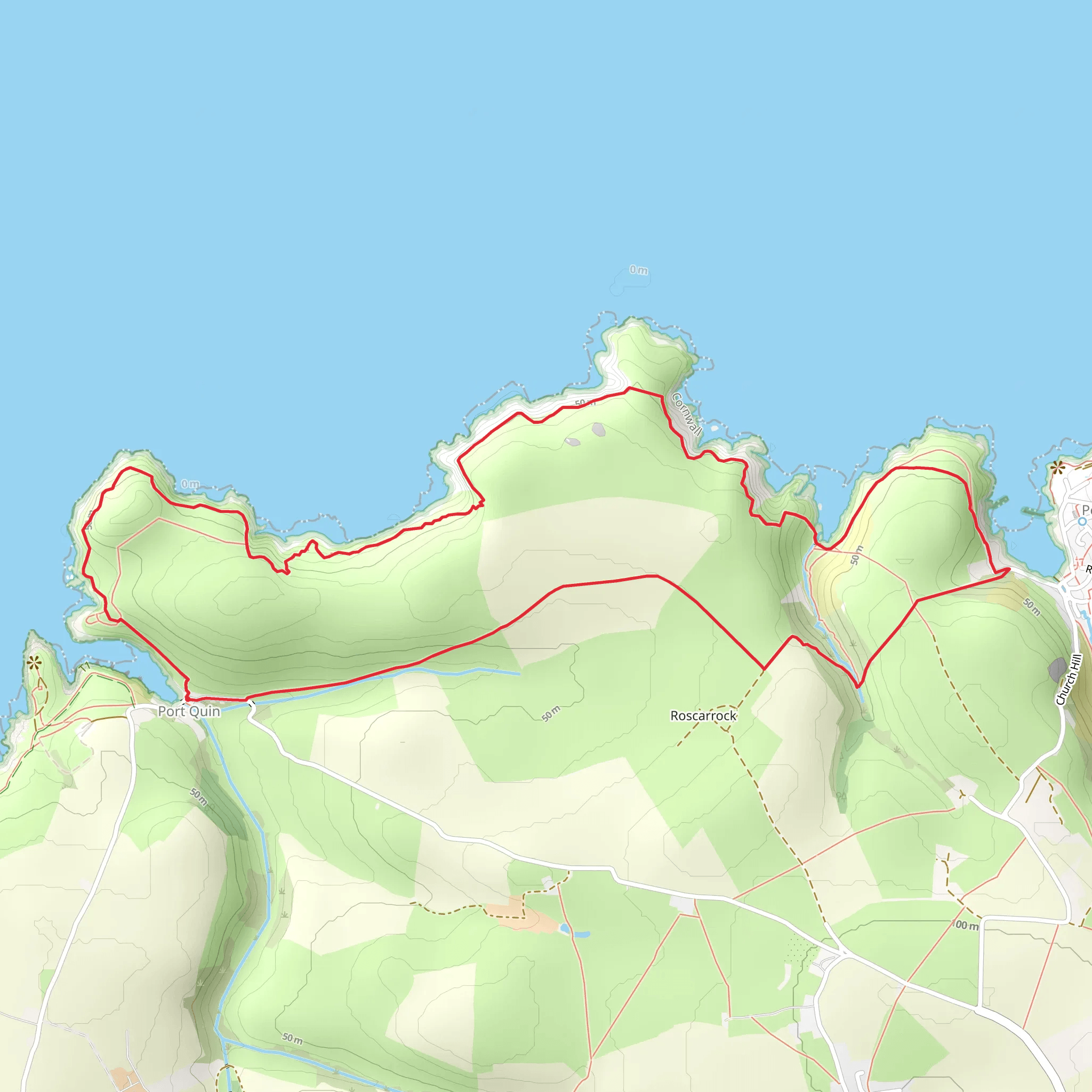
Starting near the picturesque village of Port Quin in Cornwall, England, the Port Quin Cliffs Loop is an 8 km (approximately 5 miles) trail with an elevation gain of around 300 meters (about 984 feet). This loop trail offers a moderate challenge, making it suitable for hikers with some experience.
Getting There
To reach the trailhead, you can drive to Port Quin, which is accessible via the B3314 road. There is a small car park near the village where you can leave your vehicle. If you prefer public transport, the nearest significant town is Wadebridge. From Wadebridge, you can take a bus to Polzeath and then a taxi or a local bus to Port Quin.
Trail Overview
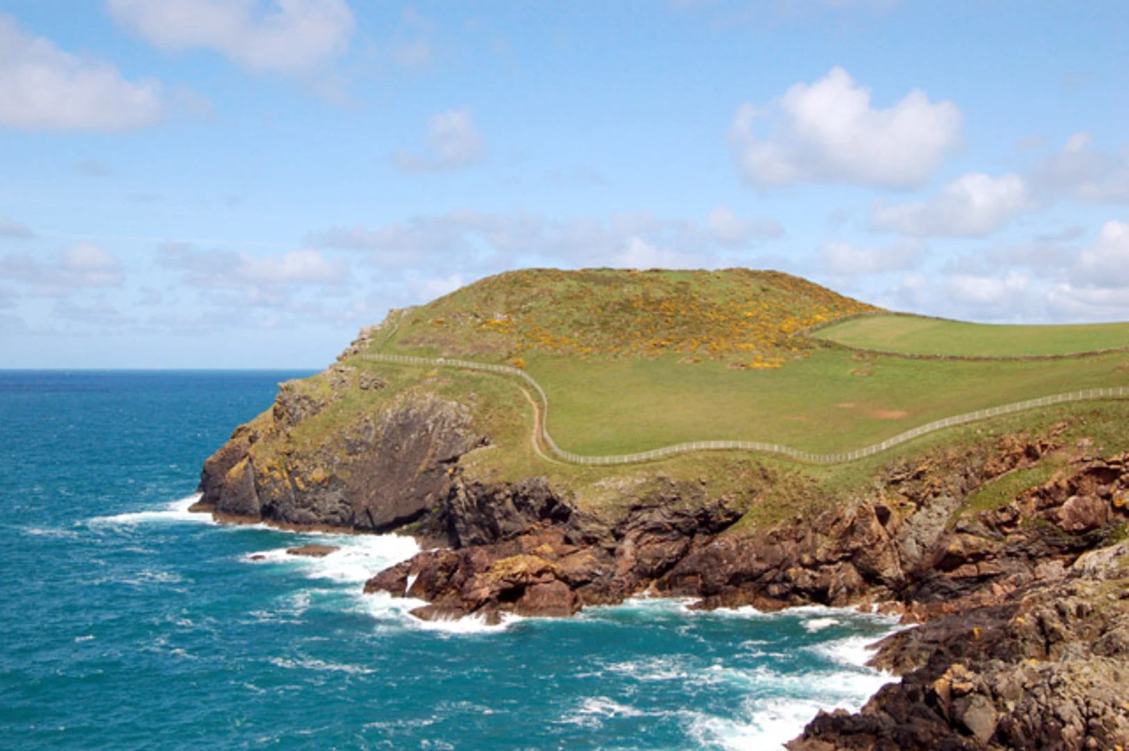
The trail begins near the car park in Port Quin, a quaint fishing village with a rich history dating back to the 19th century. As you start your hike, you'll immediately notice the rugged beauty of the Cornish coastline. The path initially takes you through a series of rolling hills and meadows, offering stunning views of the Atlantic Ocean.
Key Landmarks and Sections
Port Quin to Kellan Head
The first significant landmark is Kellan Head, approximately 2 km (1.2 miles) from the start. This section involves a steady climb, gaining about 100 meters (328 feet) in elevation. The headland offers panoramic views of the coastline and is a great spot for birdwatching. Keep an eye out for seabirds such as puffins and razorbills.
Kellan Head to Doyden Point
Continuing along the cliff path, you'll reach Doyden Point after another 1.5 km (0.9 miles). This area is historically significant due to Doyden Castle, a small 19th-century folly built by Samuel Symons. The castle is perched dramatically on the cliff edge and provides a fascinating glimpse into the region's past.
Doyden Point to Lundy Bay
From Doyden Point, the trail descends slightly before climbing again towards Lundy Bay, about 2 km (1.2 miles) further along. This section is relatively flat but can be windy, so be prepared. Lundy Bay is a secluded cove with a sandy beach, perfect for a short rest. The bay is named after Lundy Island, visible on clear days.
Lundy Bay to Port Quin
The final stretch of the loop takes you back to Port Quin, covering the remaining 2.5 km (1.5 miles). This section involves a gradual descent, making it a pleasant end to your hike. As you approach Port Quin, you'll pass through a series of meadows and farmland, offering a different but equally charming landscape.
Wildlife and Flora
The Port Quin Cliffs Loop is rich in biodiversity. In addition to seabirds, you may encounter various species of butterflies, wildflowers, and even seals along the coastline. The meadows are often filled with blooming heather and gorse, adding vibrant colors to your hike.
Navigation and Safety
Given the moderate difficulty of the trail, it's advisable to use a reliable navigation tool like HiiKER to ensure you stay on track. The path is well-marked, but weather conditions can change rapidly, so always check the forecast before setting out. Wear sturdy hiking boots and bring layers, as the coastal winds can be brisk.
This trail offers a perfect blend of natural beauty, historical landmarks, and moderate physical challenge, making it a rewarding experience for any hiker.
What to expect?
Activity types
Comments and Reviews
User comments, reviews and discussions about the Port Quin Cliffs Loop, England.
4.17
average rating out of 5
6 rating(s)
