Download
3D Flyover
Add to list
More
10.8 km
~2 hrs 44 min
344 m
Loop
“A punchy coastal loop of cliff climbs, secret coves and sweeping views, rich with Cornish character.”
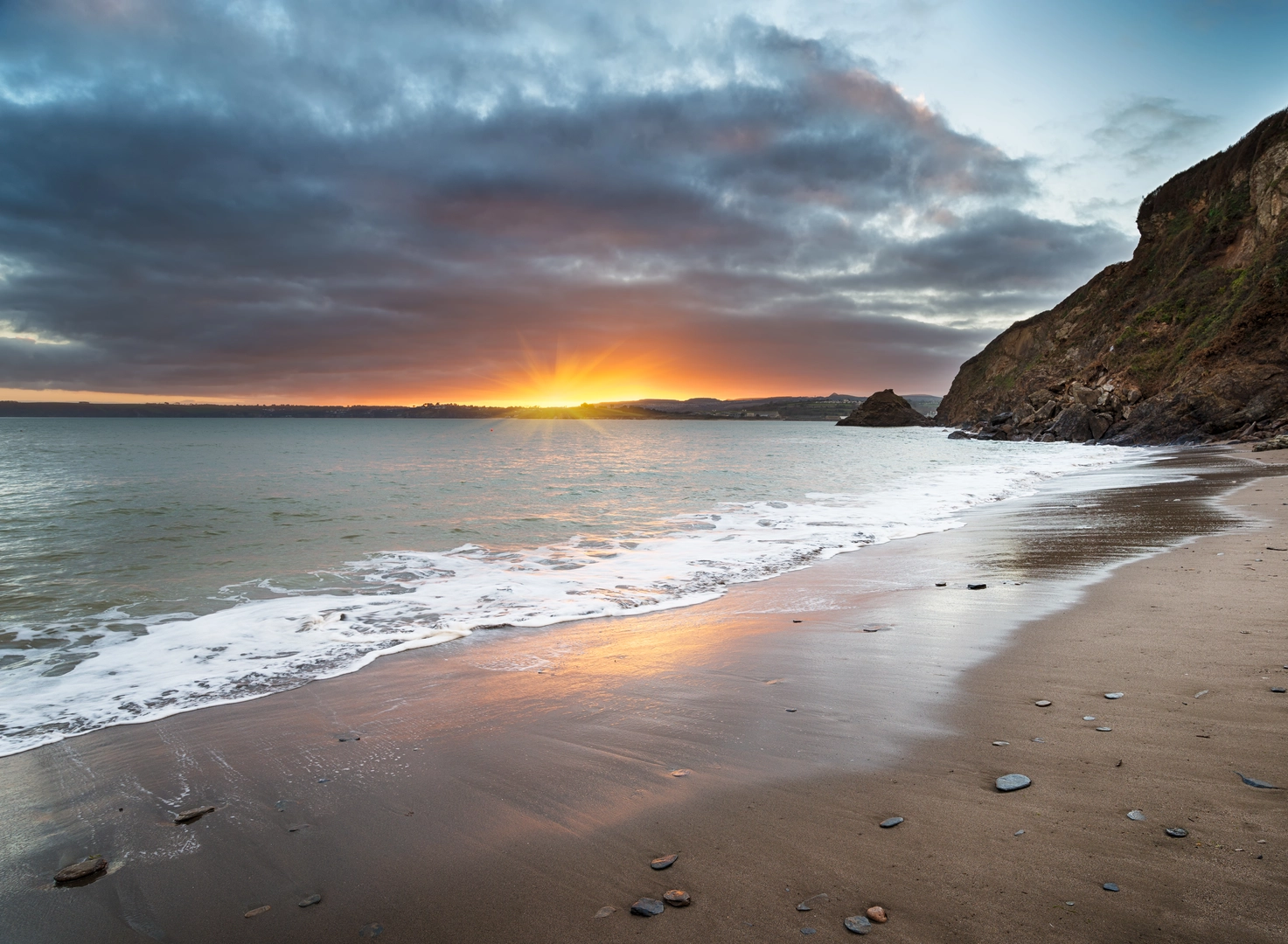
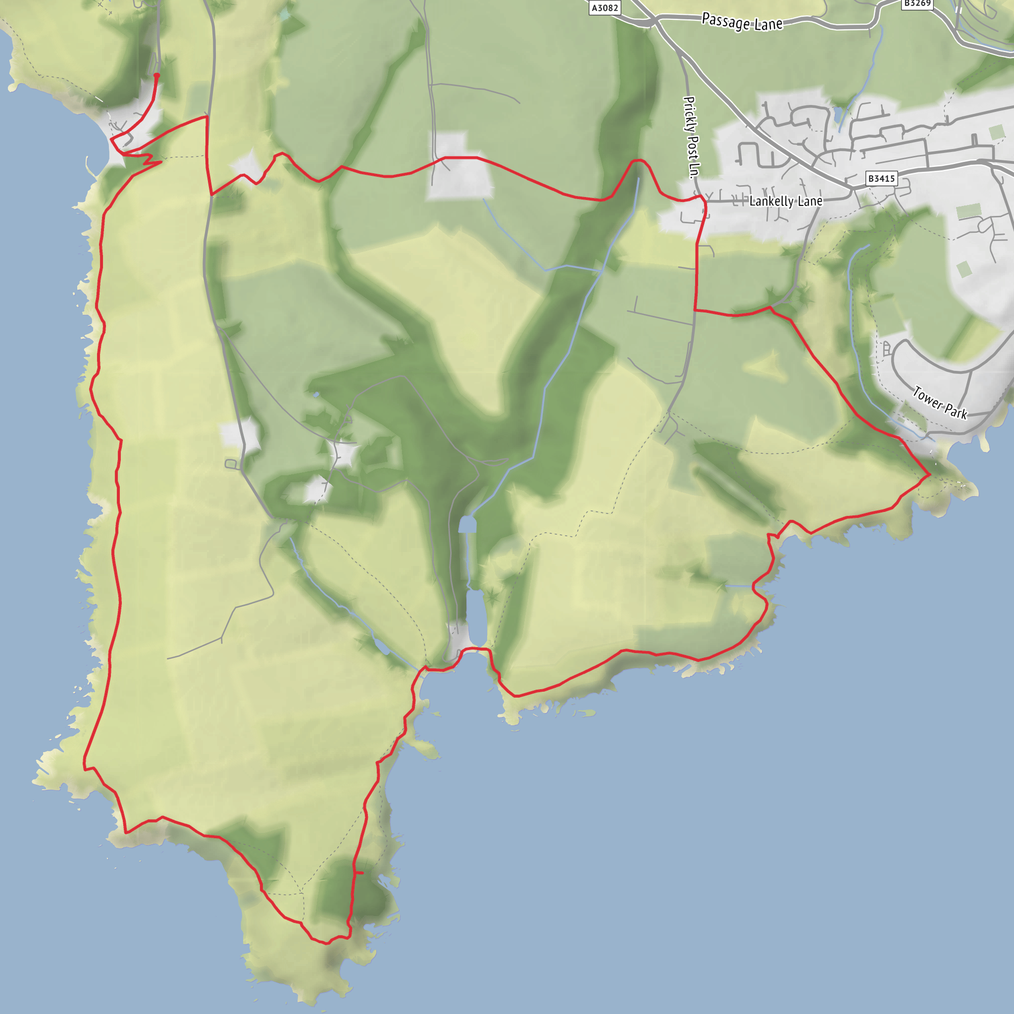
This medium-difficulty coastal loop packs a lot into roughly 11 km / 6.8 miles, with about 400 m / 1,312 ft of ascent spread across repeated cliff-path climbs rather than one single long haul. Expect a route that mixes the South West Coast Path with inland field and lane sections, starting near Polkerris Beach and Polkerris Harbour, Polkerris, Par PL24 2TL—the most practical trailhead landmark for most walkers. The walking is varied throughout: a steep village approach, exposed cliff tops, short wooded stretches, sheltered coves, and open sea views across St Austell Bay and toward the Fowey estuary. (visitcornwall.com)
The first part of the walk usually heads out from Polkerris on the coast path, climbing steadily above the beach and harbour. Although the total distance is modest, the terrain makes it feel more substantial than an easy seaside stroll. The path can be uneven underfoot, with rocky sections, roots, mud after rain, and some steeper ups and downs where the route drops into and climbs out of small coastal combes. Good footwear is worthwhile, and in windy weather the exposed headland sections can feel much tougher than the mileage suggests. (southwestcoastpath.org.uk)
Coast path, headland and key landmarks
One of the defining features of the loop is Gribbin Head Daymark, the tall red-and-white striped tower standing above the cliffs. It was built in 1832 as a daymark to help mariners identify the approach to Fowey Harbour; despite its lighthouse-like appearance, it was never lit. The tower sits on a prominent headland between St Austell Bay and the Fowey estuary, and it is the visual high point of the walk as well as one of the best viewpoints. From here, on a clear day, walkers can expect broad views east and west along the coast. (en.wikipedia.org)
The route then continues toward Polridmouth Cove, a beautiful, sheltered inlet backed by woodland and associated with the Menabilly estate. Menabilly is historically significant as the long-held seat of the Rashleigh family and is widely linked with Daphne du Maurier, who drew inspiration from this stretch of coast and lived nearby. That literary connection adds another layer to the walk: this is not just scenic coastline, but a landscape woven into Cornwall’s cultural history. Historic England notes the visual relationship between Menabilly, Polridmouth and Gribbin Tower, which helps explain why the area feels so composed and distinctive. (historicengland.org.uk)
Polridmouth itself is one of the most attractive stopping points on the loop. Depending on the exact line you follow, you may pass above the cove first and then descend closer to the beach, or simply enjoy elevated views before turning inland. Either way, it is a good place to pause, especially in calmer weather when the water can appear much gentler than the open coast around Gribbin Head. Facilities here are limited to none, so it is better treated as a scenic stop than a service point. (cornwallbeaches.org.uk)
Terrain, wildlife and what to watch for
Nature is a major part of the appeal. The headland and cliff slopes support coastal grassland, scrub and seasonal wildflowers, while the coves and wooded edges create habitat variety over a short distance. Seabirds are a regular presence, and walkers may also spot gulls, cormorants and other coastal birdlife riding the updrafts along the cliffs. In quieter stretches, the contrast between open maritime grassland and the more sheltered vegetation around Polridmouth is especially noticeable. (en.wikipedia.org)
Because this is a cliff-coast route, the main hazards are environmental rather than technical. Strong winds can make exposed sections uncomfortable, especially near Gribbin Head. After wet weather, the inland return paths and some coast-path sections may be slippery. Summer brings busier beaches and tighter parking, while winter can mean muddy ground and rougher sea conditions. If visibility drops, the junctions between coast path, estate tracks and inland footpaths deserve attention; for navigation, carrying the route in HiiKER is the simplest way to stay on the intended loop. (southwestcoastpath.org.uk)
The return leg commonly uses part of the **
Surfaces
Ground
Dirt
Unknown
Grass
Asphalt
Unpaved
Wood
Comments and Reviews
User comments, reviews and discussions about the Polkerris, Gribbin Head and Polridmouth Loop, England.
average rating out of 5
0 rating(s)
