
Download
3D Flyover
Add to list
More
8.2 km
~2 hrs 9 min
307 m
Loop
“A punchy moorland circuit with steep bursts, sweeping views, and landmarks shaped by history and weather.”
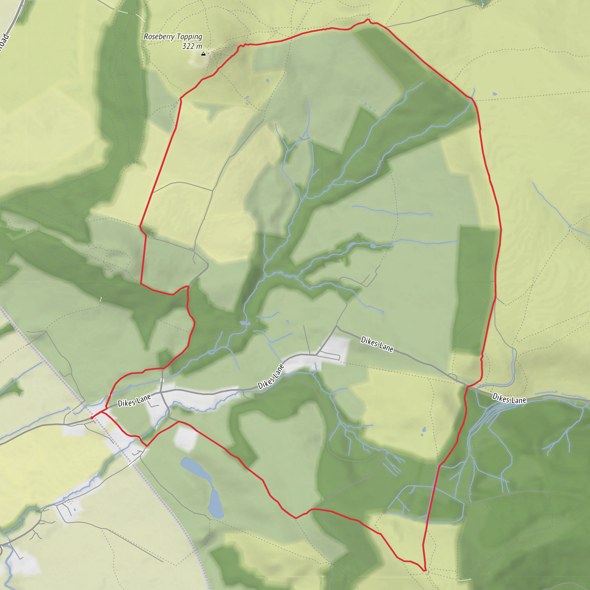
This is a compact but rewarding North York Moors circuit that packs a lot into roughly 8 km / 5 miles, with about 300 m / 985 ft of ascent. Although the distance is modest, the route feels more substantial than the numbers suggest because the climbing comes in distinct bursts: a steady pull onto the moor, a sharper ascent around Roseberry Topping, and undulating ground between open hillside, woodland edge, and monument paths. With a medium difficulty rating, it suits walkers with reasonable fitness who are comfortable on uneven ground, stone-pitched paths, and some steeper sections. (cdn.ramblers.org.uk)
The walk is set around Roseberry Topping and Easby Moor, just south of Middlesbrough and close to Great Ayton and Newton-under-Roseberry in North Yorkshire. For practical purposes, the nearest well-known starting points are the public car park at Roseberry Lane, Newton-under-Roseberry, on the A173, or Great Ayton village if you prefer a village start with services. If your route data only gives a rough trailhead “near” location, the most useful real-world landmark for hikers is usually the Roseberry Topping car park on Roseberry Lane, Newton-under-Roseberry, or alternatively Great Ayton Village Green. (teesvalley-ca.gov.uk)
By car, the simplest access is via the A173 between Great Ayton and Guisborough, using the public car park at Newton-under-Roseberry. There is also parking at Gribdale, between Roseberry Topping and Captain Cook’s Monument, and some walks begin from roadside parking in Great Ayton. Arriving early is wise, especially on weekends and clear-weather days, because this is one of the best-known short hill walks in the area. (teesvalley-ca.gov.uk)
For public transport, Great Ayton is the most useful access hub. National Trust route information notes bus links including Arriva 81A, Arriva 29, and the seasonal Moorsbus M2 between Middlesbrough and Great Ayton. Great Ayton also has a rail station, and from there you can walk to the hill routes, making this one of the more accessible moorland outings without a car. (nationaltrust.org.uk)
What the route feels like
Expect a varied loop rather than a single uninterrupted climb. Lower sections are often on clear footpaths and tracks, but once the route rises onto the hill and moor, surfaces can become rougher underfoot, with stone steps, worn earth, exposed roots, and potentially muddy patches after rain. The ascent toward Roseberry Topping is the most physically noticeable part of the day. The summit itself stands at about 320 m / 1,049 ft and is famous for its sharply distinctive profile, with broad views over the Cleveland plain, the North York Moors, and on clear days toward the coast and Teesmouth. (teesvalley-ca.gov.uk)
Because this loop also includes Cockshaw Hill and the Captain Cook Monument area, the walk has a more open, moorland character than a simple up-and-down to Roseberry Topping. The ground can feel exposed in wind, mist, or driving rain, and the paths can be slippery when wet, especially on steeper woodland or eroded sections. Reviews and route descriptions consistently point to the route being straightforward to follow in good conditions, but the combination of multiple junctions, moorland edges, and weather exposure means it is still worth loading the route on HiiKER before setting out. (alltrails.com)
Landmarks and historical interest
Roseberry Topping is the headline feature and one of the most recognizable hills in Yorkshire. Its unusual shape is not just scenic; it is also tied to the area’s geological and industrial history. The hill was altered by a combination of natural collapse and nearby ironstone mining in the 19th century, which helped create the dramatic profile seen today. This gives the walk an added layer of interest beyond the views, because the landscape has been shaped by both deep time and human industry. (nationaltrust.org.uk)
The Captain Cook Monument on Easby Moor is the other major landmark. It commemorates the explorer James Cook, who had strong local connections: as a boy he worked nearby at Airy Holme Farm and is said to have known these hills well. The monument stands in a commanding position and adds a strong sense of place to the route, linking the moorland scenery with one of Britain’s most famous maritime figures. (nationaltrust.org.uk)
The wider area also carries much older history. Roseberry Topping and its surroundings show evidence
Surfaces
Unknown
Gravel
Dirt
Comments and Reviews
User comments, reviews and discussions about the Roseberry Well, Cockshaw Hill and Captain Cook Monument Loop, England.
average rating out of 5
0 rating(s)
