
Download
3D Flyover
Add to list
More
3.7 km
~46 min
25 m
Loop
“A short, varied Black Down loop weaves heath, woodland and bog ponds to sweeping, contemplative views.”
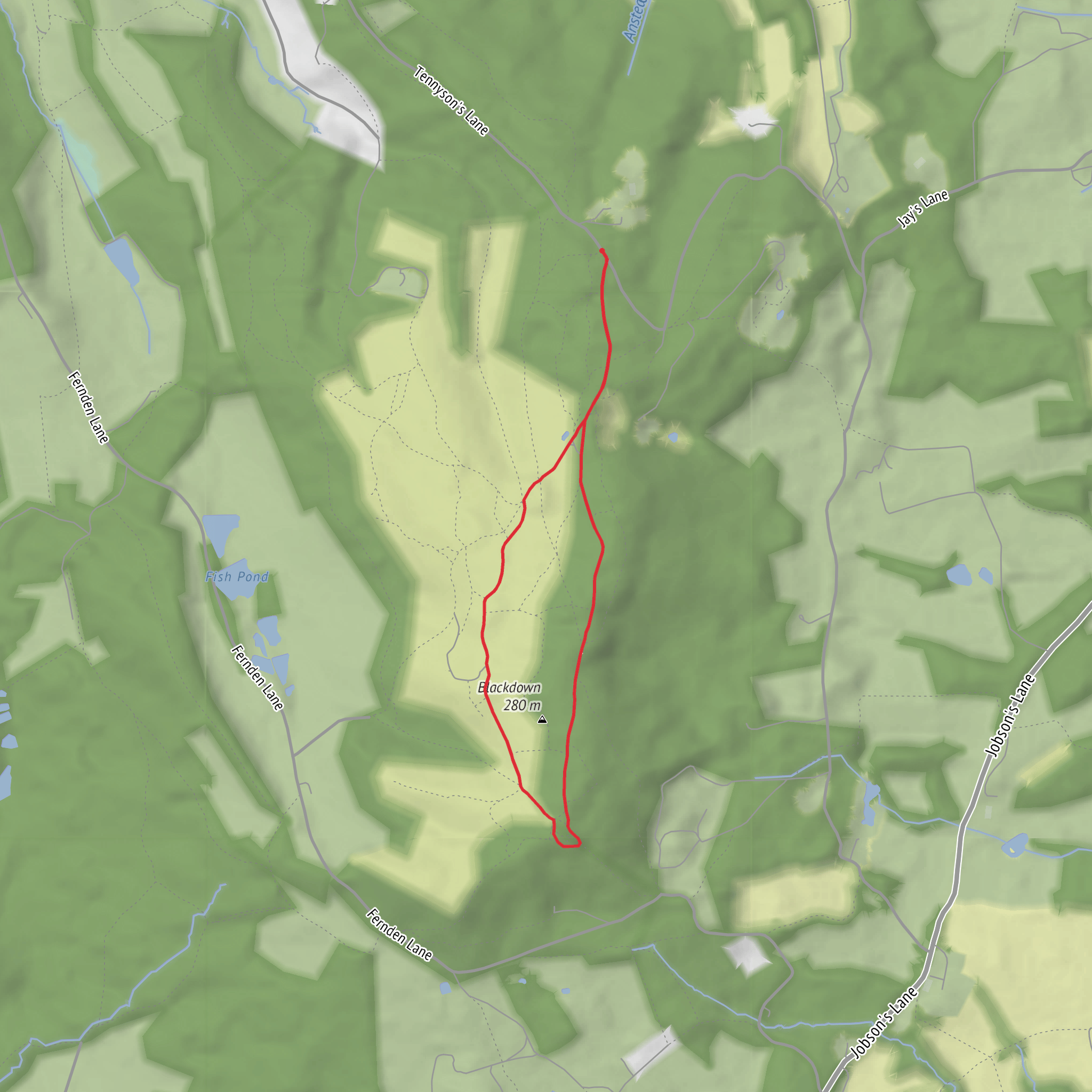
This easy loop on Black Down packs a lot into a short distance: open heath, pockets of woodland, small bog ponds, and one of the best viewpoints in this part of the South Downs National Park. The route is usually described as about 2 miles / 3.2 km, though allowing for small detours and viewpoint pauses, around 2.5 miles / 4 km is a fair expectation. Elevation gain is modest rather than completely flat, with a few gentle rises and dips on the hilltop paths; expect roughly up to 100 feet / 30 metres of cumulative ascent at most on the standard circuit. The walking itself is straightforward, which fits the easy rating, but there are a few uneven sections with roots and sandy or worn paths to watch for. (static.nationaltrust.org.uk)
The walk starts from the Black Down National Trust car park, Tennyson’s Lane, Haslemere, GU27 3BJ, which is the nearest clear address for the trailhead. Black Down lies just south of Haslemere, on the Surrey/West Sussex border, and is the highest point in West Sussex as well as the highest point in the South Downs National Park, at about 918 feet / 280 metres above sea level. (static.nationaltrust.org.uk)
By car, the simplest approach is directly to the National Trust car park on Tennyson’s Lane. By public transport, the nearest rail stop is Haslemere station. From there, Black Down is commonly described as about a 30-minute walk, and Haslemere also has bus links serving the surrounding area, though the “last mile” into the countryside can be limited, so it is worth checking current connections before setting out. If using a navigation app on the trail itself, HiiKER is the best fit for following the loop and nearby rights of way. (haslemere.com)
What the route is like
From the car park, the path heads up a well-worn track through a gate and onto Black Down. The opening stretch climbs gently for about 170 metres / 0.1 mile to a noticeboard, then continues along a sunken track. Early on, there is an east-facing viewpoint and bench after roughly another 140 metres / 0.09 mile, giving an immediate sense of the broad, open character of the hill. (static.nationaltrust.org.uk)
Soon after, the route reaches a fork, passes bog ponds on the right, and threads between banks into a small patch of trees before arriving at the “five ways” junction. From there, the loop turns south across the heath. Around 300 metres / 0.2 mile later, a westerly viewpoint opens up, followed by another viewpoint under pines about 120 metres / 0.07 mile farther on, looking southwest over Cotchet Valley toward the South Downs. These short intervals between landmarks make the walk feel varied and rewarding even though it is not long. (static.nationaltrust.org.uk)
The most notable caution comes as the path enters the woods and drops toward the Temple of the Winds. This section is still short and manageable for most walkers, but the National Trust specifically notes uneven ground and tree roots here, so it is worth slowing down, especially after rain or when covered in autumn leaves. Good walking shoes are usually enough; heavy boots are not essential in dry conditions, but grippy footwear is helpful. (static.nationaltrust.org.uk)
Landmarks, views, and atmosphere
The highlight is the Temple of the Winds, reached after the heath and woodland ridge. Despite the name, this is not a classical temple building but a curved stone viewpoint terrace with an inscribed seat and a later viewfinder, set at one of Black Down’s best outlooks across the western Weald. The setting feels sheltered and contemplative, with the land falling away below and long views stretching southward on clear days. (nationaltrust.org.uk)
Elsewhere, the route passes through classic Black Down scenery: heathland with heather, gorse, and silver birch; boggy hollows that support dragonflies and damselflies; and a beech hanger where exposed roots and the steepening slope give the woodland a more dramatic feel. The beech hanger is one of the most photographed parts of the route, especially in autumn when the leaf colour
What to expect?
Surfaces
Sand
Unknown
Dirt
Comments and Reviews
User comments, reviews and discussions about the Black Down and Temple of the Winds Loop, England.
average rating out of 5
0 rating(s)
