Download
3D Flyover
Add to list
More
15.5 km
~3 hrs 45 min
389 m
Loop
“Explore Calderdale's natural beauty, history, and wildlife on this rewarding 16 km loop trail.”
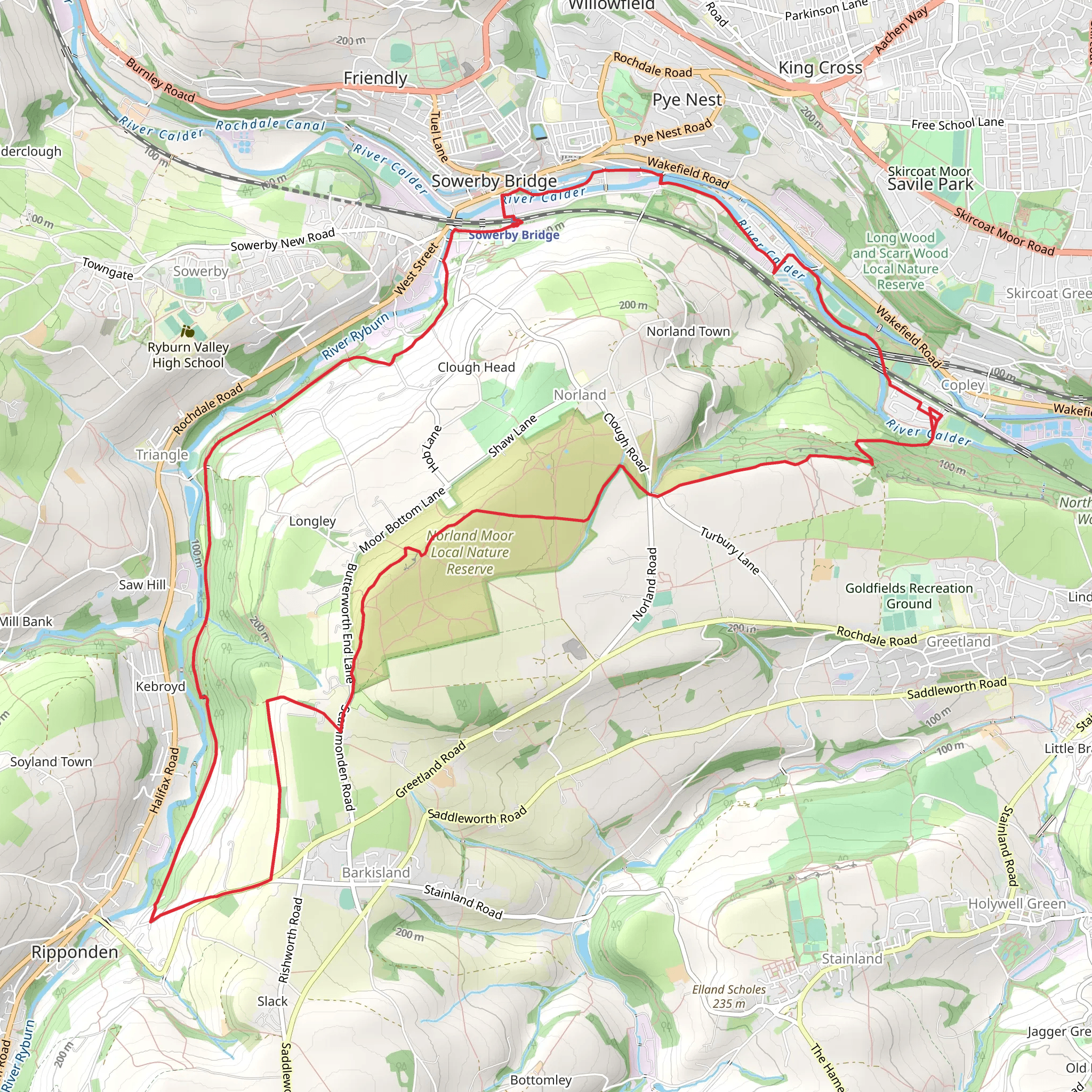
Starting near Calderdale, England, the Calderdale Way and Calder and Hebble Navigation Loop is a captivating 16 km (approximately 10 miles) loop trail with an elevation gain of around 300 meters (about 984 feet). This medium-difficulty trail offers a blend of natural beauty, historical landmarks, and diverse wildlife, making it a rewarding experience for hikers.
Getting There
To reach the trailhead, you can either drive or use public transport. If driving, set your GPS to the nearest known address, which is the town of Sowerby Bridge. For those using public transport, Sowerby Bridge railway station is well-connected, with regular services from major cities like Leeds and Manchester. From the station, it's a short walk to the trailhead.
Trail Overview
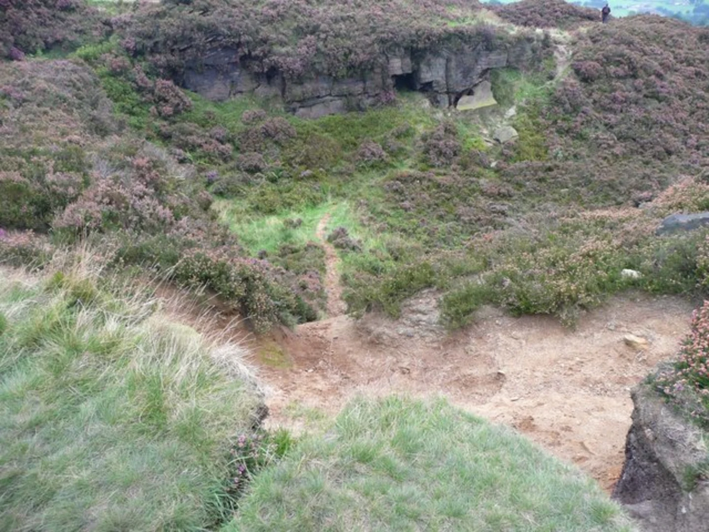
The trail begins with a gentle ascent through lush woodlands, offering a serene start to your hike. As you progress, you'll encounter a mix of terrains, including open fields, canal towpaths, and forested areas. The elevation gain is gradual, making it manageable for most hikers.
Significant Landmarks
One of the first notable landmarks is the historic Sowerby Bridge, located about 2 km (1.2 miles) into the hike. This charming town is known for its picturesque canal basin and Victorian architecture. As you continue, you'll follow the Calder and Hebble Navigation, a historic waterway dating back to the 18th century. This section of the trail is particularly scenic, with narrowboats and wildlife adding to the tranquil atmosphere.
Nature and Wildlife
The trail is rich in biodiversity. Keep an eye out for various bird species, including kingfishers and herons, especially along the canal. The woodlands are home to deer, foxes, and a variety of smaller mammals. In spring and summer, the fields are adorned with wildflowers, making it a vibrant and colorful journey.
Historical Significance
The Calderdale region is steeped in history. The Calder and Hebble Navigation was crucial during the Industrial Revolution, facilitating the transport of goods. You'll also pass by several old mills and factories, remnants of the area's industrial past. About halfway through the hike, near the 8 km (5 miles) mark, you'll come across the impressive Wainhouse Tower, a Victorian-era folly that offers panoramic views of the surrounding landscape.
Navigation and Safety
For navigation, it's highly recommended to use the HiiKER app, which provides detailed maps and real-time updates. The trail is well-marked, but having a reliable navigation tool ensures you stay on track. Wear sturdy hiking boots, as some sections can be muddy, especially after rain. Carry enough water and snacks, as there are limited facilities along the route.
Final Stretch
The final stretch of the trail takes you through more open countryside, gradually descending back towards Sowerby Bridge. This section offers stunning views of the Calder Valley, making it a perfect end to your hike. As you approach the town, you'll have the opportunity to explore local cafes and pubs, a great way to relax and reflect on your journey.
This trail offers a perfect blend of natural beauty, historical intrigue, and moderate physical challenge, making it an excellent choice for a day hike in the Calderdale region.
What to expect?
Activity types
Comments and Reviews
User comments, reviews and discussions about the Calderdale Way and Calder and Hebble Navigation Loop, England.
4.33
average rating out of 5
3 rating(s)
