Download
3D Flyover
Add to list
More
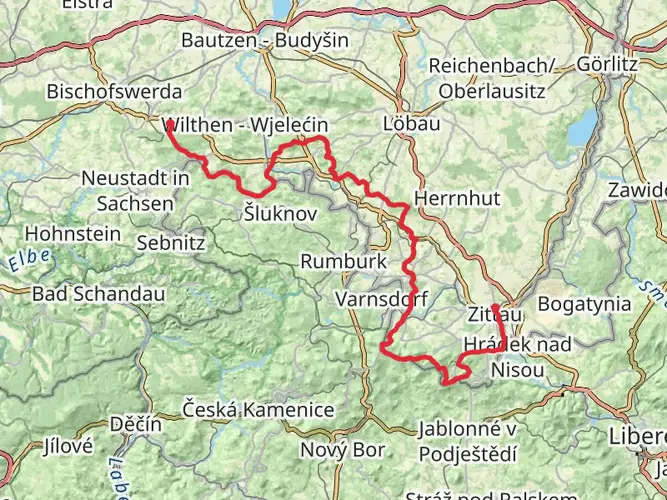
48.1 km
~2 days
424 m
Point to Point
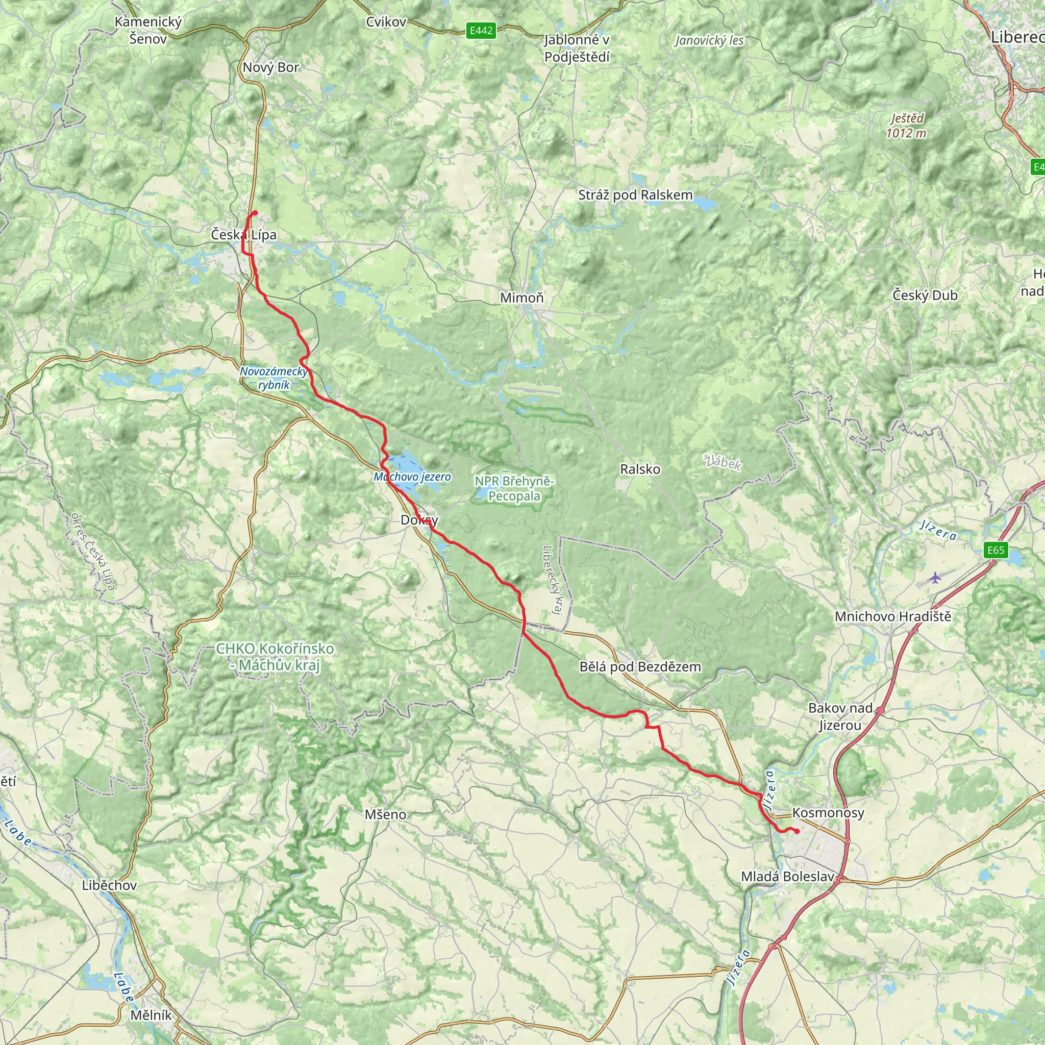
This easy full‑day hike covers about 30 miles with gentle elevation changes (around 1,400 ft up and 1,600 ft down). Starting in the countryside of the Mladá Boleslav district, it leads north through rolling farmland, small villages, and forested sections toward the foothills near Český ráj and the Bohemian Uplands. Expect long but not steep stretches, varied rural scenery, and plenty of opportunities for quiet breaks along the way.
AI Planner
Days planned around your pace, with somewhere to stay each night.
Surfaces
Unknown
Asphalt
Compacted Gravel
Paving Stones
Cobblestone
Gravel
Fine Gravel
Concrete
Dirt
Comments and Reviews
User comments, reviews and discussions about the Mladá Boleslav to Česká Lípa, Czechia.
average rating out of 5
0 rating(s)