Download
3D Flyover
Add to list
More
79.3 km
~3 days
1202 m
Multi-Day
“Embark on a historic, medium-difficulty hike through Connecticut's scenic, wildlife-rich Shenipsit Trail.”
The Shenipsit Trail, spanning approximately 79 kilometers (about 49 miles) with an elevation gain of around 1200 meters (nearly 3937 feet), offers a diverse hiking experience through the rolling hills of Tolland County, Connecticut. This point-to-point trail is rated as medium difficulty, making it accessible to hikers with some experience looking for a challenge.
Getting to the Trailhead
To reach the starting point of the Shenipsit Trail near Tolland County, hikers can drive to the trailhead located off of CT-74, near the Soapstone Mountain summit. For those relying on public transportation, options may be limited, but checking local transit services for the nearest stops and arranging a taxi or rideshare to the trailhead is advisable.
Navigating the Trail
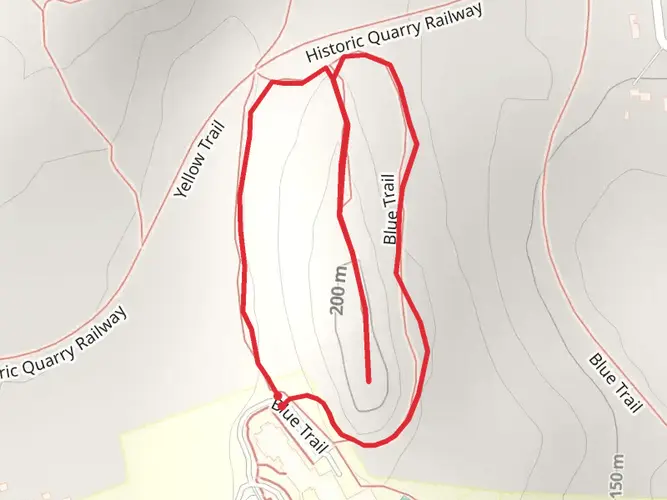
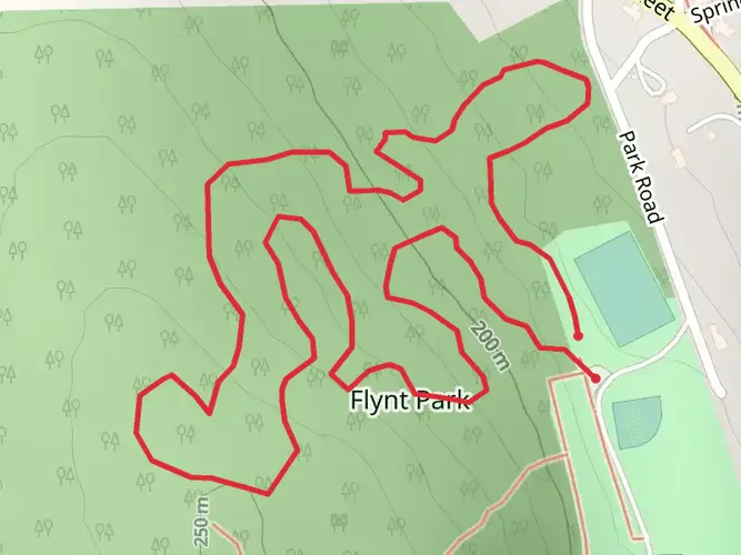
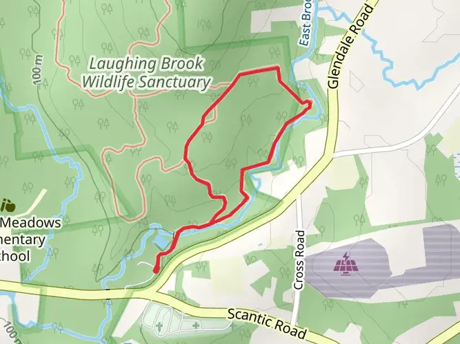
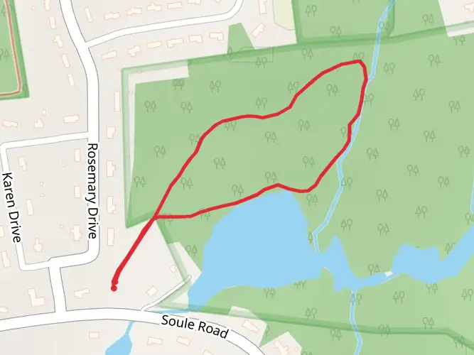
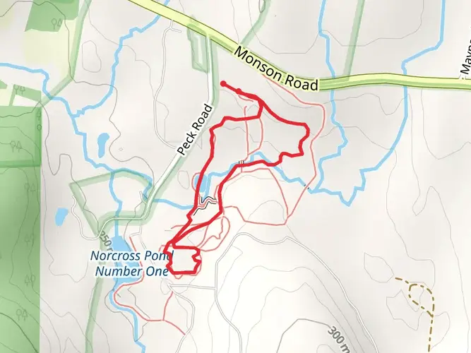
Hikers can utilize the HiiKER app for detailed maps and navigation assistance throughout their journey on the Shenipsit Trail. The trail is well-marked with blue blazes, guiding adventurers through mixed hardwood forests, past streams, and over rocky outcrops.
Landmarks and Scenery
One of the significant landmarks along the trail is the Soapstone Mountain Lookout, which is a short detour from the main path. At an elevation of 1,075 feet (328 meters), the lookout offers panoramic views of the surrounding landscape. Approximately 15 miles (24 kilometers) into the hike, adventurers will encounter the Shenipsit State Forest, which is home to a variety of wildlife, including deer, wild turkeys, and an array of bird species.
Historical Significance
The region is steeped in history, with the trail itself crossing through areas that were once vital to the local Native American tribes. As hikers traverse the landscape, they walk in the footsteps of those who have inhabited and utilized these lands for centuries.
Flora and Fauna
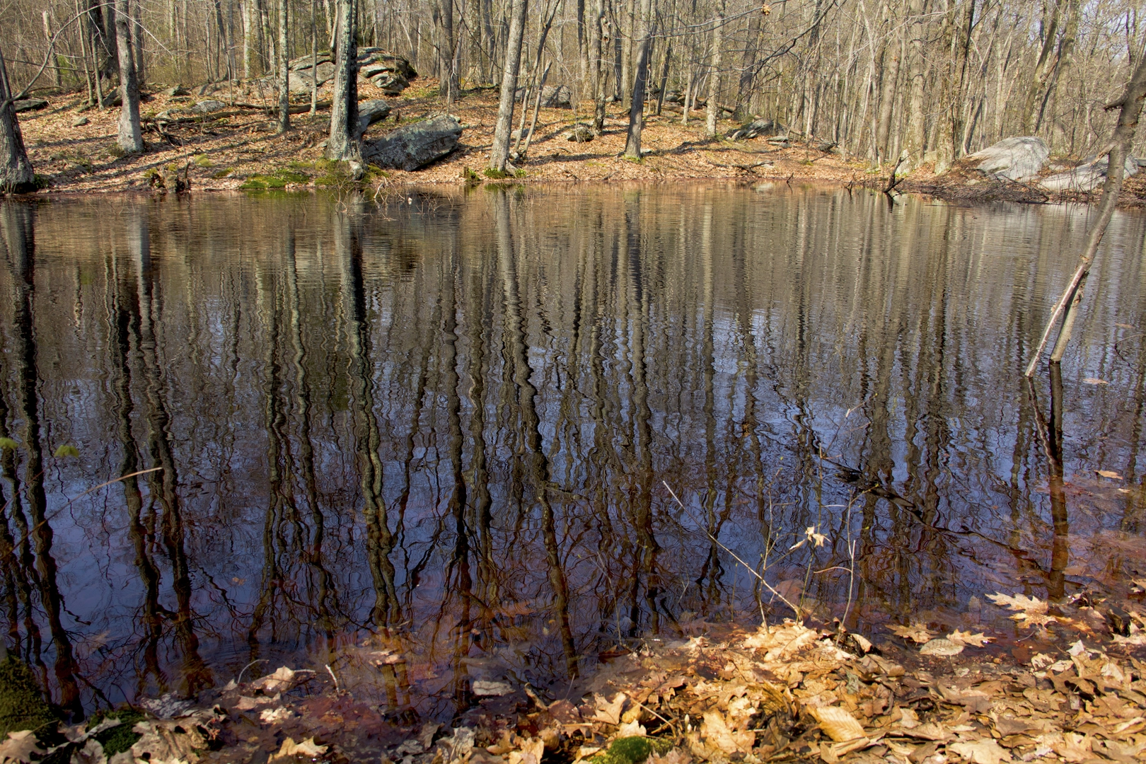
The Shenipsit Trail is a haven for nature enthusiasts. The trail meanders through dense forests of oak, maple, and birch trees. During the spring and summer months, the forest floor is adorned with wildflowers, while autumn brings a spectacular display of fall foliage. The diverse habitats along the trail support a variety of wildlife, so hikers should keep an eye out for the many species that call this area home.
Preparation and Planning
Before setting out, hikers should ensure they have adequate water, food, and gear for the trail's duration. Weather conditions can change rapidly, so layered clothing is recommended. Additionally, it's important to leave no trace and respect the natural environment by staying on marked trails and disposing of waste properly.
By preparing accordingly and respecting the trail's natural beauty and historical significance, hikers can enjoy a fulfilling experience on the Shenipsit Trail.

What to expect?
Activity types
Frequently asked questions
How long is the Shenipsit Trail in Connecticut and how many days does it take to hike?
The Shenipsit Trail is about 79.33 kilometers, or roughly 49 to 50 miles, running from the Cobalt area of East Hampton north to West Stafford near the Massachusetts border. Most hikers treat it as a multi-day point-to-point route, with a typical pace of about 2 to 4 days depending on daily mileage, shuttles, and how much time is spent on side trips like Soapstone Mountain.
Where does the Shenipsit Trail start and end, and what towns does the Shenipsit Trail pass through?
The Shenipsit Trail extends from the Cobalt section of East Hampton to West Stafford, just short of the Massachusetts line. Along the way it passes through East Hampton, Portland, Glastonbury, Manchester, Bolton, Vernon, Tolland, Ellington, Somers, and Stafford, linking a long cross-section of central and northeastern Connecticut.
What are the best views and landmarks on the Shenipsit Trail?
One of the standout landmarks on the Shenipsit Trail is the observation tower on Soapstone Mountain in Somers, which gives broad views across eastern Connecticut, the Connecticut River Valley, and on clear days toward Springfield. Other notable points along the route include Great Hill Pond, Case Mountain, the Tankerhoosen River corridor, and a junction with the Hop River Rail Trail in Bolton.
Is the Shenipsit Trail well marked and easy to follow?
The Shenipsit Trail is a Connecticut Blue-Blazed trail and is marked with blue blazes along the route. Navigation is generally straightforward on established sections, but this is still a 79.33-kilometer point-to-point hike with road crossings, junctions, and multiple land-management areas, so carrying a reliable map in HiiKER is still important.
Where can you park for the Shenipsit Trail near Soapstone Mountain?
A common access point for the Shenipsit Trail is the Soapstone Mountain area in Shenipsit State Forest near CT-74 and Soapstone Mountain Road in Somers. That section is popular because it gives quick access to the observation tower and one of the trail’s best-known viewpoints, making it a practical place for a day hike or a shuttle meet-up on a longer through-hike.
Are dogs allowed on the Shenipsit Trail?
Dogs are commonly allowed on Shenipsit Trail sections in Shenipsit State Forest, including the popular Soapstone Mountain area, but they should be kept under control and leashed where required. Because the full trail crosses multiple towns and management areas, rules can vary by segment, so the most conservative approach is to keep dogs leashed throughout the route.
Is the Shenipsit Trail suitable for beginners or kids?
The Shenipsit Trail is often described as one of the easier long Blue-Blazed routes overall, with about 1,202 meters of elevation gain spread across 79.33 kilometers, but its full length is still a serious multi-day undertaking. Shorter sections, especially around Soapstone Mountain or other local access points, are much more suitable for beginners and families than attempting the entire point-to-point hike.
Are there any hunting-season concerns on the Shenipsit Trail?
Yes. Parts of the Shenipsit Trail pass through Shenipsit State Forest and other public lands where hunting is permitted in season. Fall is the time to be most alert, and bright clothing is a sensible precaution on forest sections, especially in Stafford, Somers, and Ellington where the trail overlaps or approaches state forest land.
Comments and Reviews
User comments, reviews and discussions about the Shenipsit Trail, Connecticut.
4.51
average rating out of 5
1735 rating(s)