Download
3D Flyover
Add to list
More
2.2 km
~30 min
39 m
Out and Back
“Discover the serene, history-rich Laramie River trail in Larimer County, perfect for nature lovers and history buffs.”
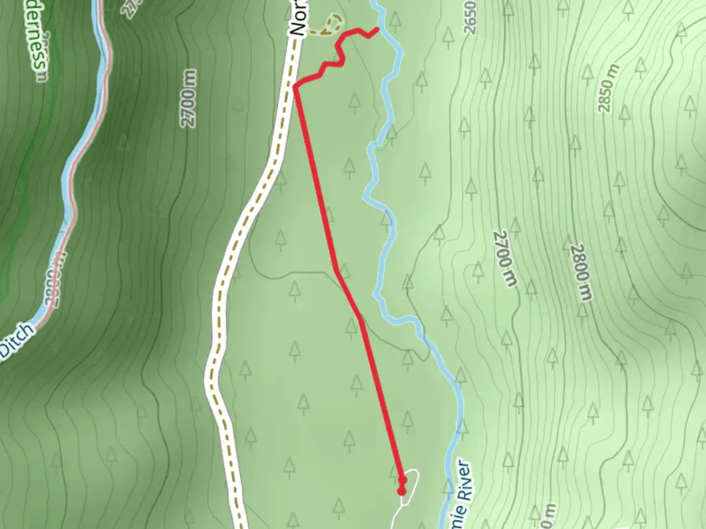
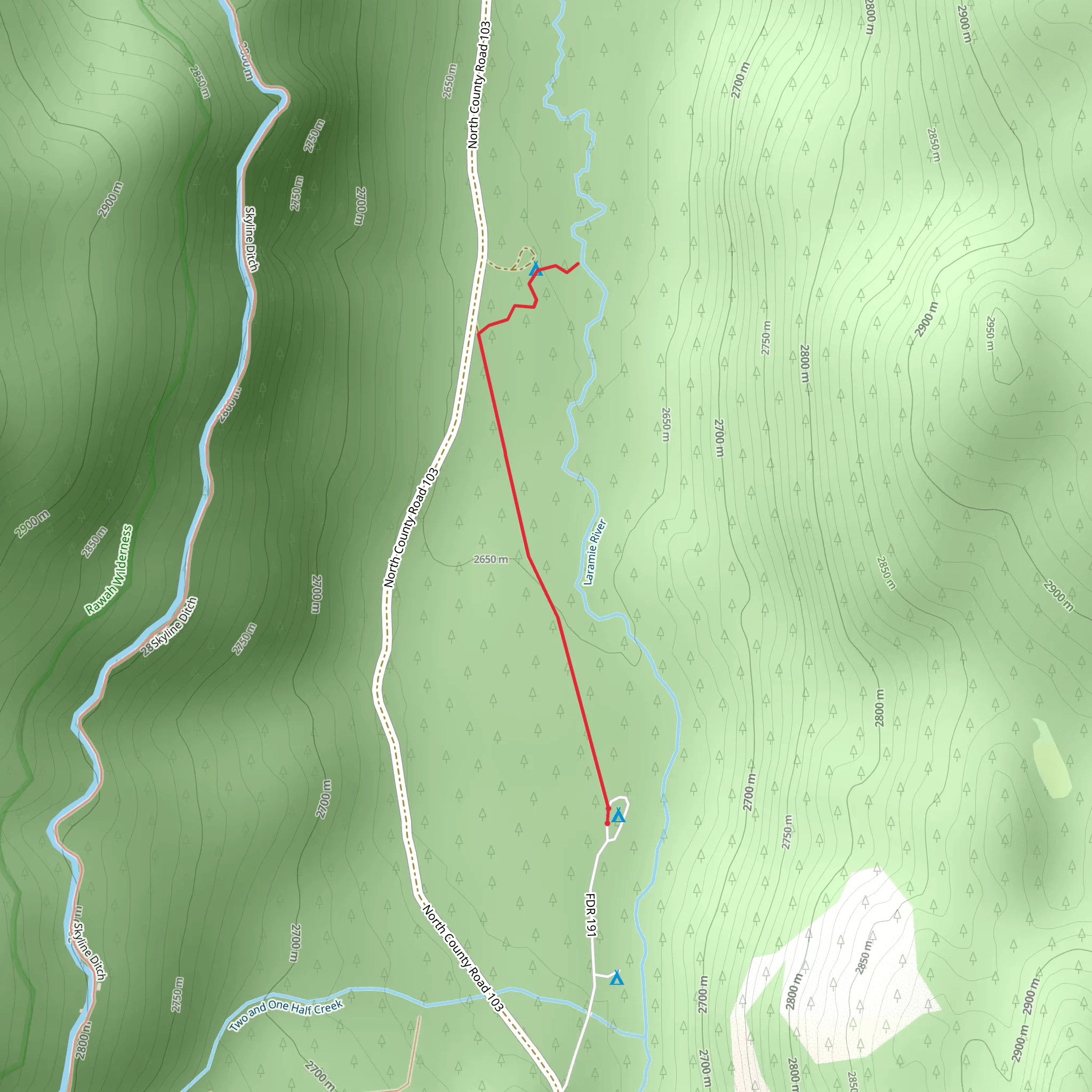
Starting near Larimer County, Colorado, the Walk along Laramie River is a delightful out-and-back trail that spans approximately 2 km (1.24 miles) with virtually no elevation gain, making it accessible for a wide range of hikers. Despite its relatively short distance, this trail is rated as medium difficulty due to some uneven terrain and potential for muddy patches, especially after rain.
Getting There
To reach the trailhead, you can drive or use public transportation. If driving, head towards Larimer County, Colorado, and look for parking near the Laramie River. The nearest significant landmark is the Fort Collins-Loveland Municipal Airport, located about 15 miles (24 km) away. For those using public transport, the closest bus stop is at the intersection of East Mulberry Street and Greenfields Drive in Fort Collins. From there, you may need to arrange a taxi or rideshare to the trailhead.
Trail Navigation
For navigation, it is highly recommended to use the HiiKER app, which provides detailed maps and real-time updates. The trail is well-marked, but having a reliable navigation tool can enhance your hiking experience.
What to Expect
As you embark on the trail, you'll find yourself walking alongside the serene Laramie River. The path is relatively flat, making it an easy stroll for those looking to enjoy a peaceful day out in nature. The river itself is a significant landmark, offering picturesque views and opportunities for bird watching. Keep an eye out for local wildlife such as deer, beavers, and a variety of bird species including herons and kingfishers.
Flora and Fauna
The trail is lined with cottonwood trees and willows, providing ample shade during the warmer months. In spring and early summer, wildflowers such as lupines and columbines add a splash of color to the landscape. The riverbanks are also home to various aquatic plants, contributing to the rich biodiversity of the area.
Historical Significance
The Laramie River has historical significance dating back to the early Native American tribes who used the river as a source of water and food. Later, during the westward expansion, the river served as a critical resource for settlers and pioneers. Walking along this trail, you are treading a path rich in history and natural beauty.
Points of Interest
Approximately 0.5 km (0.31 miles) into the trail, you'll come across a small wooden bridge that offers a perfect spot for a photo or a short rest. At the 1 km (0.62 miles) mark, there is a scenic overlook where you can take in the expansive views of the river and surrounding landscape. This is an ideal spot for a picnic or simply to enjoy the tranquility of the area.
Safety and Preparation
While the trail is generally safe, it's always wise to be prepared. Wear sturdy hiking boots to navigate any uneven or muddy sections. Bring plenty of water, especially during the summer months, and consider packing a small first-aid kit. Weather can change rapidly, so check the forecast and dress in layers.
This trail offers a perfect blend of natural beauty, historical significance, and peaceful surroundings, making it a must-visit for anyone in the Larimer County area.
What to expect?
Activity types
Comments and Reviews
User comments, reviews and discussions about the Walk along Laramie River, Colorado.
5.0
average rating out of 5
1 rating(s)
