Download
3D Flyover
Add to list
More
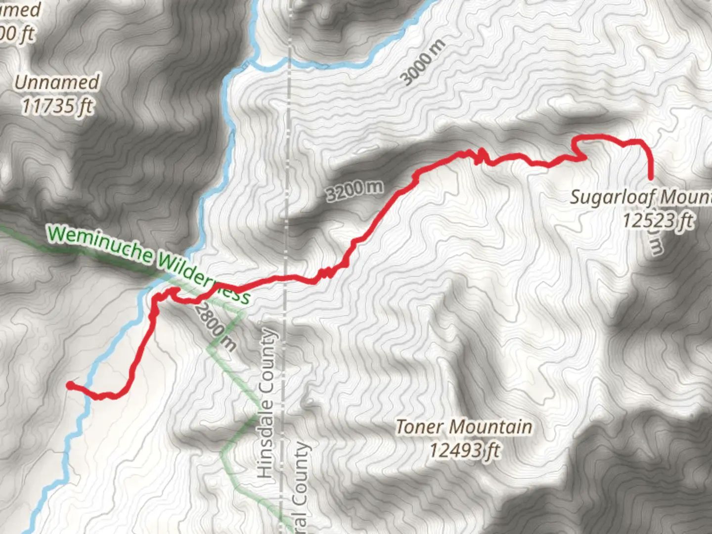
15.9 km
~5 hrs 24 min
1335 m
Out and Back
“Explore lush forests, serene rivers, expansive meadows, and historical relics on the challenging Sugarloaf Mountain Trail.”
Starting your adventure near Hinsdale County, Colorado, the trailhead for the Sugarloaf Mountain Base via Middle Fork Trail is accessible by car. If you're using public transport, the nearest significant landmark is Lake City, Colorado. From Lake City, you can arrange a local shuttle or taxi service to the trailhead.
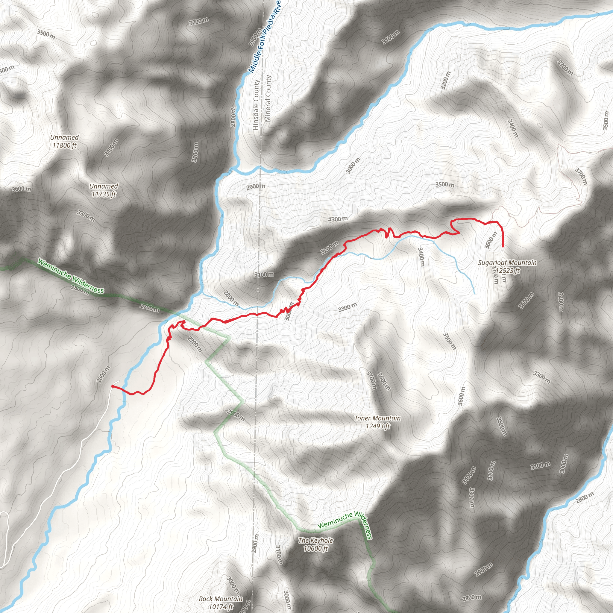
The trail spans approximately 16 kilometers (about 10 miles) with an elevation gain of around 1300 meters (4265 feet), making it a moderately challenging hike. This out-and-back trail offers a variety of landscapes and experiences, from dense forests to open meadows and rocky terrains.
Initial Ascent and Forested Sections
The first few kilometers of the trail take you through a lush forest, dominated by towering pines and spruces. The trail is well-marked, but it's always a good idea to have HiiKER for navigation. As you ascend, you'll notice the forest floor is carpeted with wildflowers in the spring and summer months, adding a splash of color to your hike.
Middle Fork River
Around the 4-kilometer (2.5-mile) mark, you'll encounter the Middle Fork River. This is a great spot to take a break and enjoy the serene sounds of flowing water. The river is also a habitat for various species of trout, so keep an eye out for anglers trying their luck.
Open Meadows and Wildlife
Continuing on, the trail opens up into expansive meadows around the 6-kilometer (3.7-mile) point. These meadows are often frequented by elk and deer, especially during the early morning and late afternoon. Bird watchers will also find this section rewarding, with species like the Mountain Bluebird and the American Kestrel making appearances.
Historical Significance
As you approach the 8-kilometer (5-mile) mark, you'll come across remnants of old mining operations. Hinsdale County has a rich mining history dating back to the late 19th century. These historical artifacts offer a glimpse into the region's past and are a reminder of the rugged life led by early settlers and miners.
Final Ascent to Sugarloaf Mountain Base
The last stretch of the trail is the most challenging, with a steep ascent that will test your endurance. The terrain becomes rockier, and the air thinner as you gain elevation. However, the effort is well worth it. Upon reaching the base of Sugarloaf Mountain, you'll be rewarded with panoramic views of the surrounding peaks and valleys. On a clear day, you can see for miles, making it an excellent spot for photography.
Return Journey
The return journey follows the same path, allowing you to revisit the beautiful landscapes and perhaps notice things you missed on the way up. Make sure to pace yourself and take breaks as needed, especially during the steep descent.
Preparation and Safety
Given the elevation gain and the length of the trail, it's crucial to be well-prepared. Bring plenty of water, snacks, and layers of clothing to adapt to changing weather conditions. Always check the weather forecast before heading out and let someone know your plans. Using HiiKER for navigation will ensure you stay on the right path and can track your progress.
This trail offers a mix of natural beauty, wildlife, and historical intrigue, making it a rewarding experience for those willing to take on the challenge.
What to expect?
Activity types
Comments and Reviews
User comments, reviews and discussions about the Sugarloaf Mountain Base via Middle Fork Trail, Colorado.
4.88
average rating out of 5
8 rating(s)
