Download
3D Flyover
Add to list
More
47.3 km
~2 days
1660 m
Out and Back
“Embark on a breathtaking adventure through diverse landscapes and history on the challenging Taylor Lake trail.”
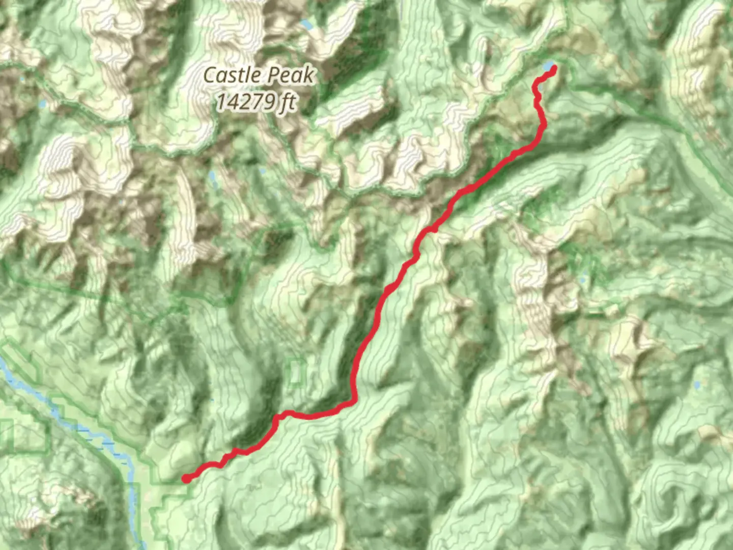
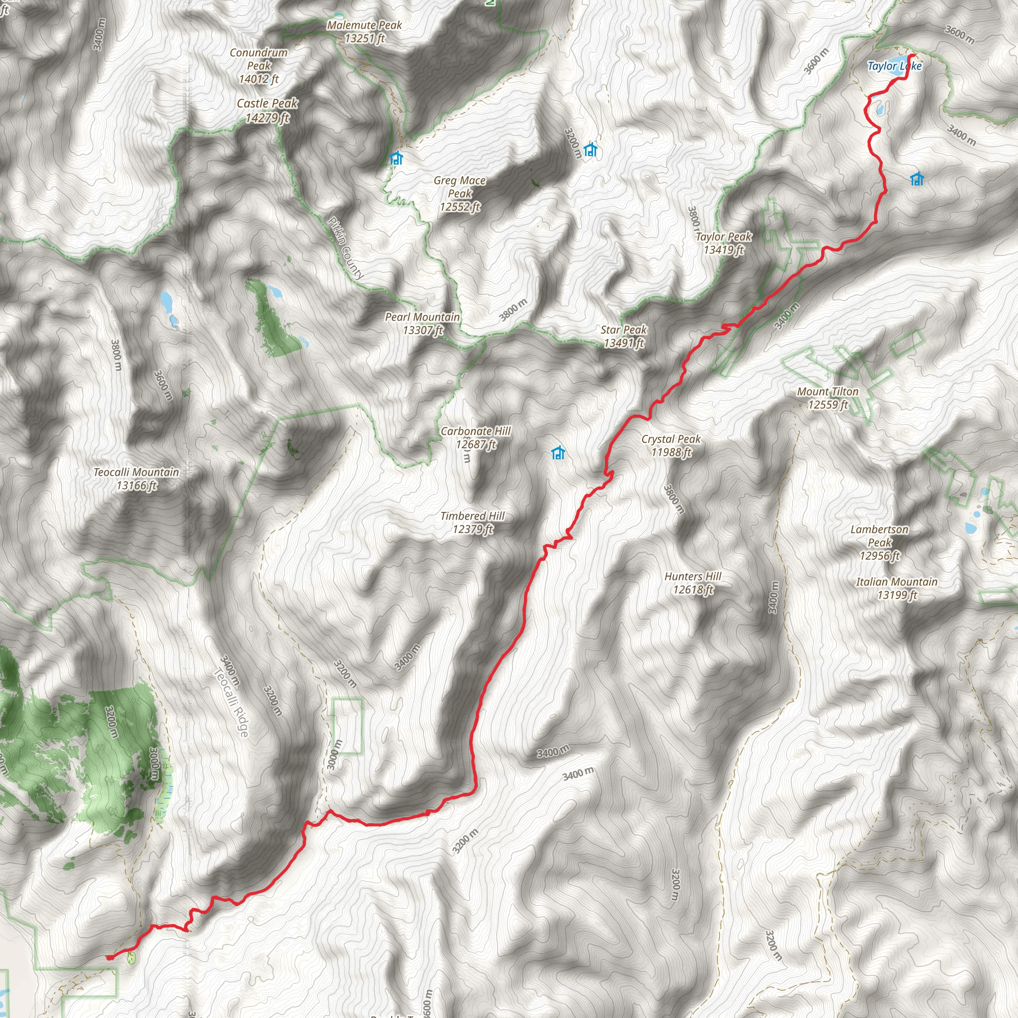
Nestled in the rugged beauty of Gunnison County, Colorado, the Taylor Lake via ADT trail offers a challenging yet rewarding adventure for seasoned hikers. Spanning approximately 47 kilometers (about 29 miles) with an elevation gain of around 1,600 meters (5,250 feet), this out-and-back trail is rated as difficult and promises a journey through diverse landscapes and rich history.
Getting There
The trailhead is conveniently located near Gunnison County, Colorado. For those traveling by car, the nearest significant landmark is the town of Crested Butte, which is approximately a 30-minute drive from the trailhead. Parking is available at the trailhead, but it's advisable to arrive early, especially during peak hiking seasons, to secure a spot.
For those relying on public transport, the nearest major city is Gunnison, which is accessible by bus services from Denver. From Gunnison, you can rent a car or arrange for a local shuttle service to take you to the trailhead.
Trail Overview
The Taylor Lake via ADT trail is a demanding trek that requires good physical fitness and preparation. The trail begins with a steady ascent through dense forests of aspen and pine, offering a serene start to your journey. As you progress, the trail opens up to expansive meadows, where wildflowers bloom in vibrant colors during the summer months.
Significant Landmarks and Nature
Around the 10-kilometer (6.2-mile) mark, you'll encounter the first major landmark: a stunning viewpoint overlooking the Taylor River Valley. This is an excellent spot to take a break and soak in the panoramic views of the surrounding mountains.
Continuing on, the trail climbs steadily, and you'll notice the transition from forested areas to alpine tundra. This section is particularly breathtaking, with sweeping vistas and the chance to spot wildlife such as elk, mule deer, and the occasional black bear. Birdwatchers will also delight in the variety of species, including the majestic golden eagle.
Historical Significance
The region surrounding the trail is steeped in history. The American Discovery Trail (ADT), which this trail is part of, is a coast-to-coast route that traverses the United States. It passes through areas that were once traversed by Native American tribes and later by pioneers and miners during the Colorado Gold Rush. As you hike, you'll be walking in the footsteps of history, with remnants of old mining operations occasionally visible along the route.
Reaching Taylor Lake
The final stretch of the trail leads you to the pristine Taylor Lake, nestled at an elevation of approximately 3,500 meters (11,500 feet). The lake is a tranquil oasis, surrounded by towering peaks and offering a perfect spot for a well-deserved rest. The clear waters reflect the sky and mountains, creating a picturesque scene that is worth the effort of the hike.
Navigation and Safety
Given the trail's difficulty, it's crucial to be well-prepared. Ensure you have a reliable navigation tool like HiiKER to track your progress and stay on course. Weather conditions can change rapidly in the mountains, so pack layers and be prepared for sudden temperature drops. Adequate water, high-energy snacks, and a first-aid kit are essential for a safe and enjoyable hike.
Embarking on the Taylor Lake via ADT trail is a journey through some of Colorado's most stunning landscapes, offering both physical challenge and the reward of nature's beauty.
What to expect?
Activity types
Comments and Reviews
User comments, reviews and discussions about the Taylor Lake via ADT, Colorado.
average rating out of 5
0 rating(s)
