Download
3D Flyover
Add to list
More
13.6 km
~3 hrs 10 min
277 m
Out and Back
“Immerse in Garfield County's natural beauty with a moderately challenging 14 km Hubbard Mesa hike, rich in history.”
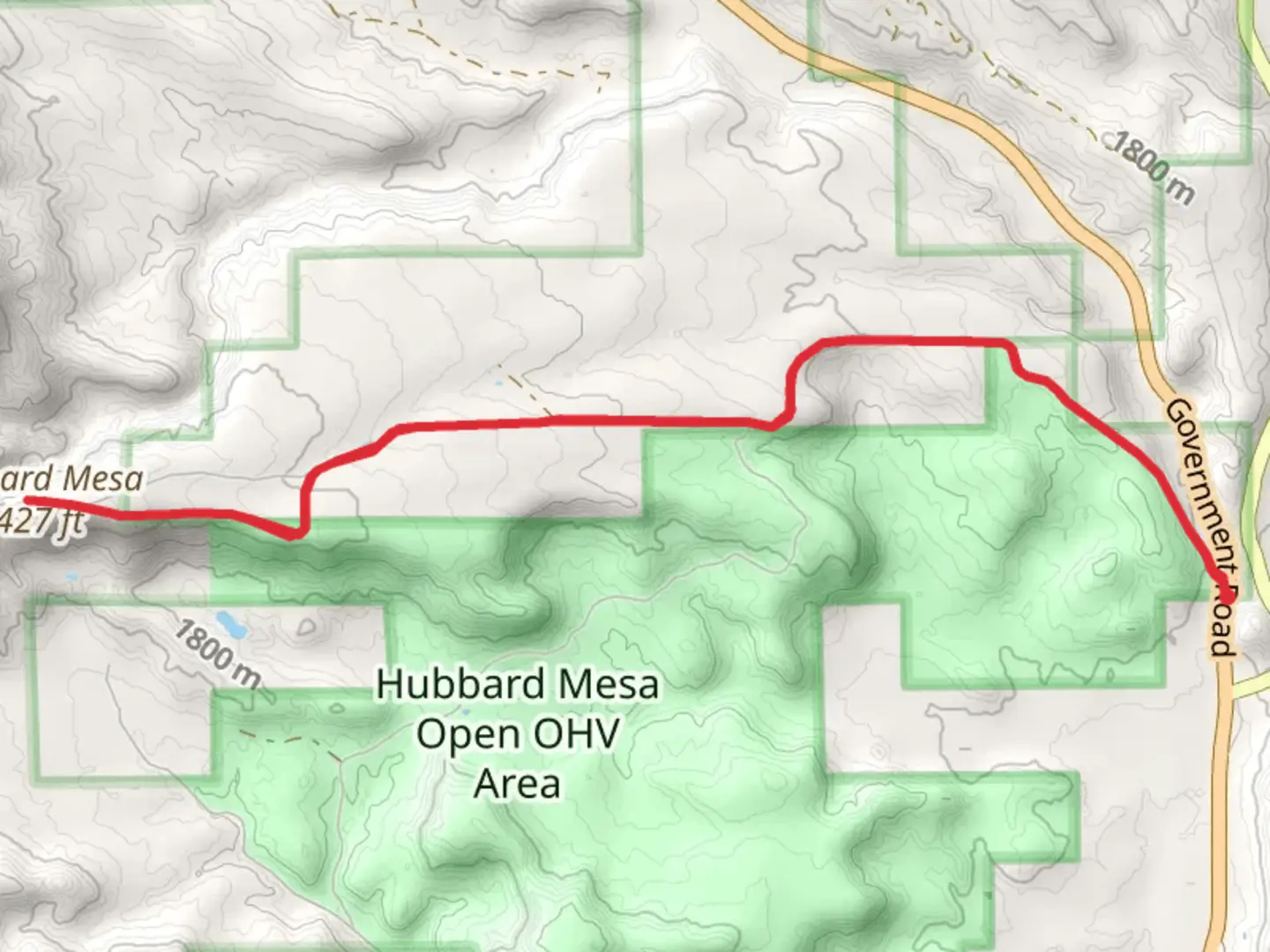
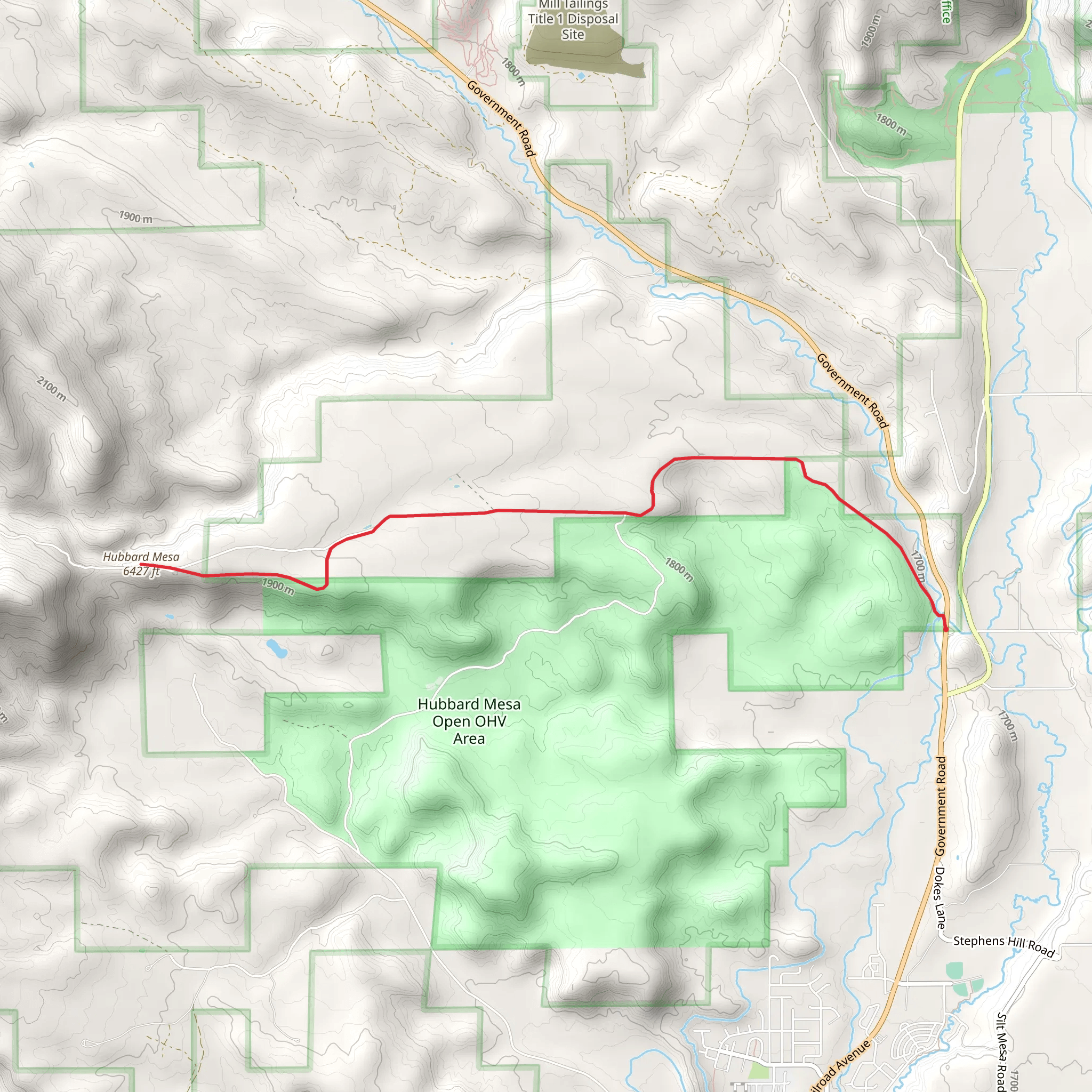
Starting near Garfield County, Colorado, the Hubbard Mesa from County Highway 242 trail offers a rewarding out-and-back hike spanning approximately 14 kilometers (around 8.7 miles) with an elevation gain of about 200 meters (656 feet). This medium-difficulty trail is perfect for those looking to immerse themselves in the natural beauty of the region while enjoying a moderately challenging hike.
Getting There
To reach the trailhead, you can drive or use public transport. If driving, head towards Garfield County, Colorado, and look for County Highway 242. The nearest significant landmark is the town of Rifle, Colorado. From Rifle, take the I-70 westbound and exit at Rifle, then follow signs to County Highway 242. The trailhead is easily accessible from here. For those using public transport, the nearest bus station is in Rifle, and from there, you can take a taxi or rideshare service to the trailhead.
Trail Overview
The trail begins with a gentle ascent, allowing hikers to gradually acclimate to the elevation. As you progress, you'll notice the diverse flora and fauna that characterize this region. The initial 2 kilometers (1.2 miles) are relatively easy, with a gradual elevation gain of about 50 meters (164 feet).
Significant Landmarks and Nature
Around the 3-kilometer (1.9-mile) mark, you'll encounter a scenic overlook that provides stunning views of the surrounding mesas and valleys. This is a great spot to take a break and capture some photos. Continuing on, the trail becomes slightly steeper, with an additional elevation gain of approximately 100 meters (328 feet) over the next 4 kilometers (2.5 miles).
Wildlife and Flora
The Hubbard Mesa area is home to a variety of wildlife, including mule deer, elk, and numerous bird species. Keep an eye out for these animals, especially during the early morning or late afternoon hours. The flora is equally diverse, with sagebrush, juniper, and pinyon pine trees dotting the landscape. During the spring and summer months, wildflowers add vibrant splashes of color to the scenery.
Historical Significance
This region has a rich history, with evidence of Native American habitation dating back thousands of years. Artifacts such as arrowheads and pottery shards have been found in the area, indicating its long-standing significance to indigenous peoples. Additionally, the trail passes near several old homesteads and mining sites from the late 19th and early 20th centuries, offering a glimpse into the area's more recent past.
Navigation and Safety
Given the trail's moderate difficulty, it's advisable to bring a reliable navigation tool. HiiKER is an excellent app for this purpose, providing detailed maps and real-time tracking to ensure you stay on course. The trail is well-marked, but having a backup is always a good idea.
Final Stretch
The final 2 kilometers (1.2 miles) of the trail offer a gentle descent back to the trailhead, allowing you to cool down and reflect on the journey. The total elevation gain of 200 meters (656 feet) is manageable for most hikers, making this trail a great option for those looking to experience the natural beauty and historical richness of Garfield County, Colorado.
What to expect?
Activity types
Comments and Reviews
User comments, reviews and discussions about the Hubbard Mesa from County Highway 242, Colorado.
4.5
average rating out of 5
4 rating(s)
