Download
Preview
Add to list
More
5.7 km
~1 hrs 36 min
283 m
Loop
“Embark on a scenic 6 km loop trail in Santa Clara County, featuring historic landmarks and panoramic views.”
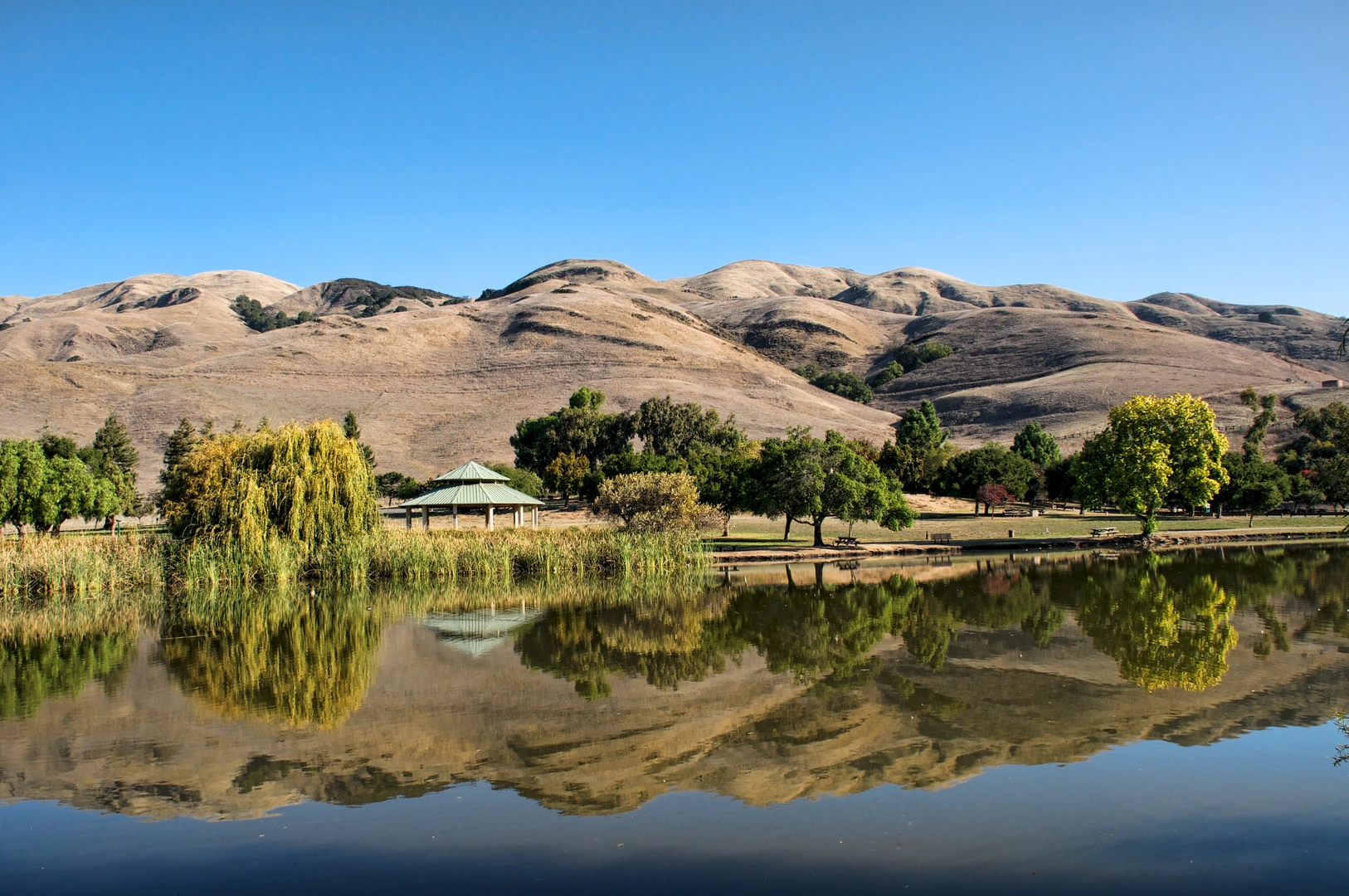
Starting your adventure near Santa Clara County, California, the Agua Caliente and Bay Area Ridge Loop Trail offers a captivating 6 km (approximately 3.7 miles) journey with an elevation gain of around 200 meters (656 feet). This loop trail is rated as medium difficulty, making it suitable for moderately experienced hikers.
Getting There
To reach the trailhead, you can drive or use public transportation. If driving, set your GPS to the nearest known address: Joseph D. Grant County Park, 18405 Mt Hamilton Rd, Mt Hamilton, CA 95140. For those using public transport, take the VTA bus route 45 to Alum Rock Transit Center, then transfer to the 522 Rapid bus towards Eastridge. From there, a short taxi or rideshare will get you to the park entrance.
Trail Overview
The trail begins at the parking area near Joseph D. Grant County Park. As you start, you'll be greeted by a gentle ascent through oak woodlands and grasslands, offering a mix of shaded and open areas. The initial 1 km (0.6 miles) is relatively easy, allowing you to warm up and enjoy the serene environment.
Significant Landmarks and Nature
Around the 2 km (1.2 miles) mark, you'll encounter the first significant landmark: the historic Grant Ranch House. This area is steeped in history, dating back to the 19th century when it was a working ranch. Take a moment to explore the preserved buildings and learn about the region's past.
Continuing on, the trail ascends more steeply, gaining approximately 100 meters (328 feet) over the next 1.5 km (0.9 miles). This section offers panoramic views of the Santa Clara Valley and the distant Diablo Range. Keep an eye out for local wildlife, including deer, wild turkeys, and a variety of bird species.
Ridge Section
At around 3.5 km (2.2 miles), you'll reach the ridge section of the trail. This is the highest point, offering breathtaking vistas and a perfect spot for a rest and some photography. The ridge is often windy, so be prepared with appropriate clothing.
Descent and Return
The descent begins after the ridge, with a gradual drop of about 100 meters (328 feet) over the next 1.5 km (0.9 miles). This part of the trail winds through more dense woodland, providing ample shade and a cool respite. The final stretch of the trail loops back towards the starting point, passing through open meadows that are particularly beautiful in spring when wildflowers are in bloom.
Navigation and Safety
For navigation, it's highly recommended to use the HiiKER app, which provides detailed maps and real-time GPS tracking to ensure you stay on course. The trail is well-marked, but having a reliable navigation tool adds an extra layer of security.
Final Stretch
As you approach the final 1 km (0.6 miles), the trail levels out, making for an easy and enjoyable end to your hike. You'll return to the parking area, where you can relax and reflect on the diverse landscapes and rich history you've experienced.
This trail offers a balanced mix of natural beauty, historical landmarks, and moderate physical challenge, making it a rewarding hike for those looking to explore the scenic and historical richness of Santa Clara County.

What to expect?
Activity types
Comments and Reviews
User comments, reviews and discussions about the Agua Caliente and Bay Area Ridge Loop Trail, California.
4.38
average rating out of 5
8 rating(s)