
Download
3D Flyover
Add to list
More
7.5 km
~2 hrs 16 min
458 m
Out and Back
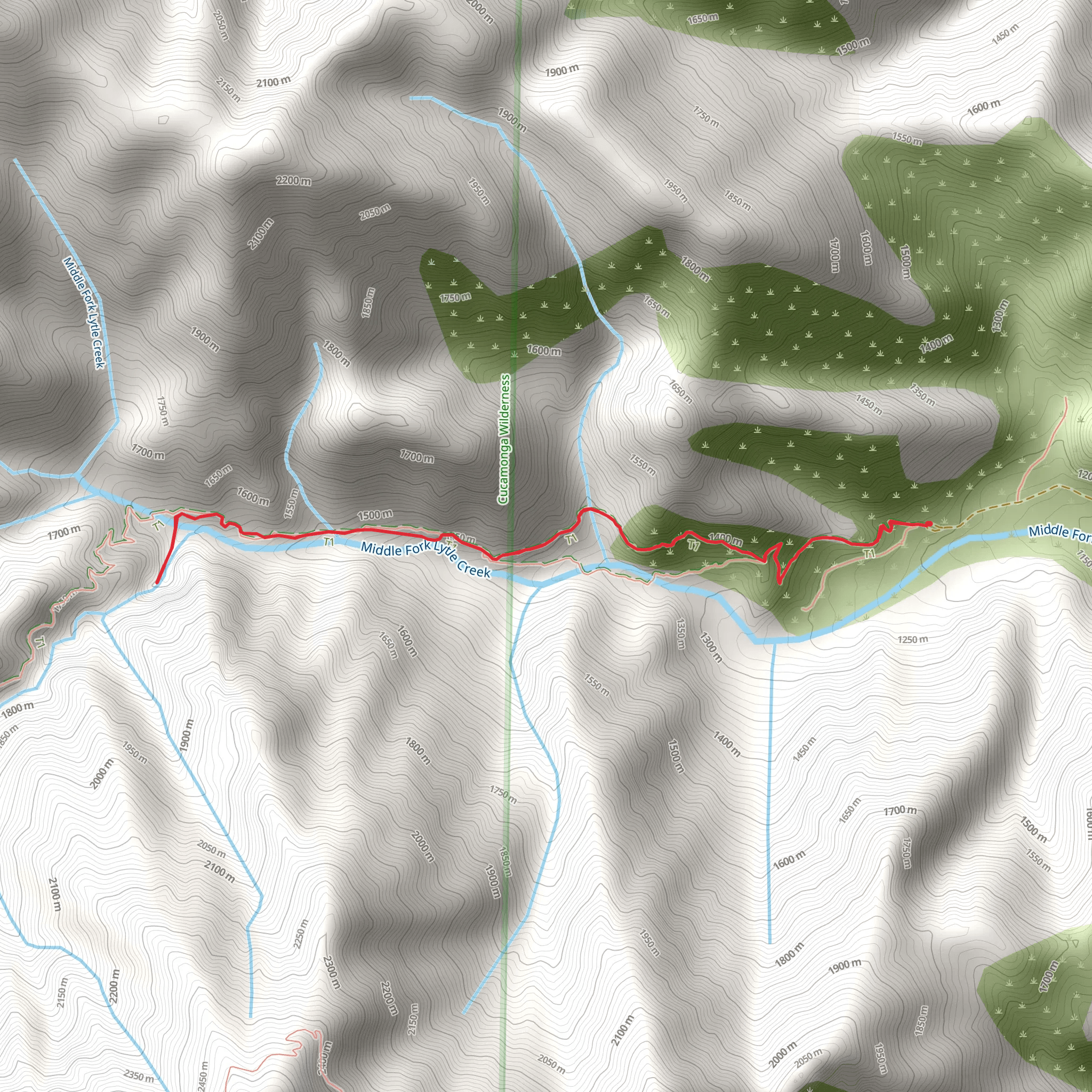
The Third Stream Crossing via Middle Fork Trail is a 7.5 km trail that starts in Lytle Creek, San Bernardino County, California. Based on our data, the hike is graded as Difficult. For information on how we grade trails, please read measuring the difficulty of a hiking trail on hiiker. Also, check our latest community posts for trail updates. This hike can be completed in approx 2 hrs 16 mins. Caution is advised on trail times as this depends on multiple variables. For more info read about how we calculate hike time.
What to expect?
Activity types
Comments and Reviews
User comments, reviews and discussions about the Third Stream Crossing via Middle Fork Trail, California.
4.75
average rating out of 5
4 rating(s)

