Download
3D Flyover
Add to list
More
40.0 km
~2 days
1396 m
Point to Point
“Explore diverse terrains and rich history on a scenic, moderately challenging California hiking adventure.”
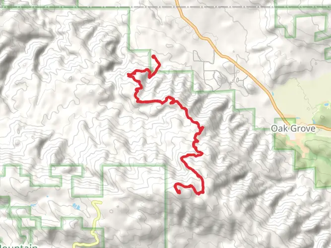
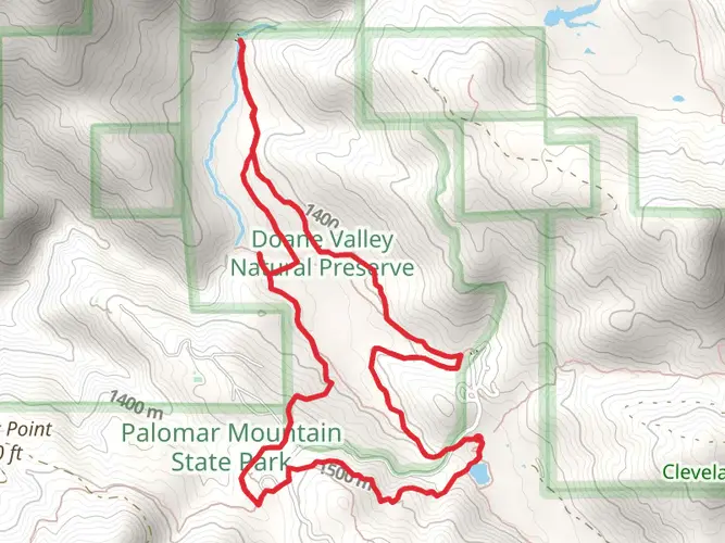
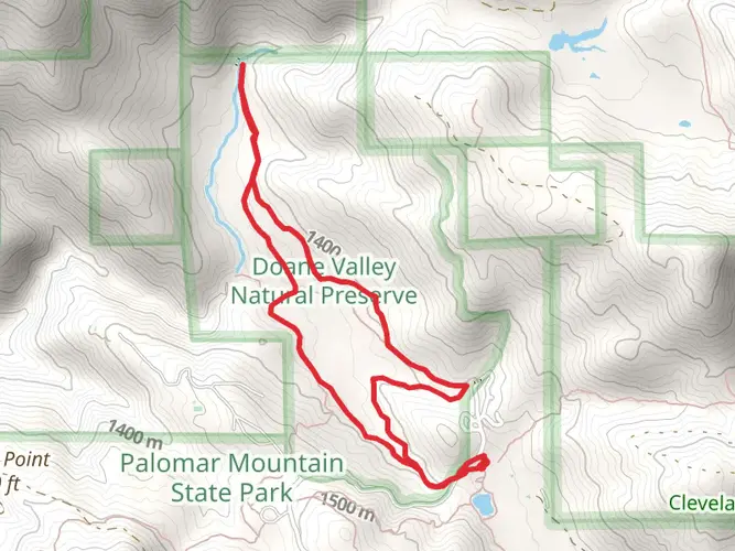
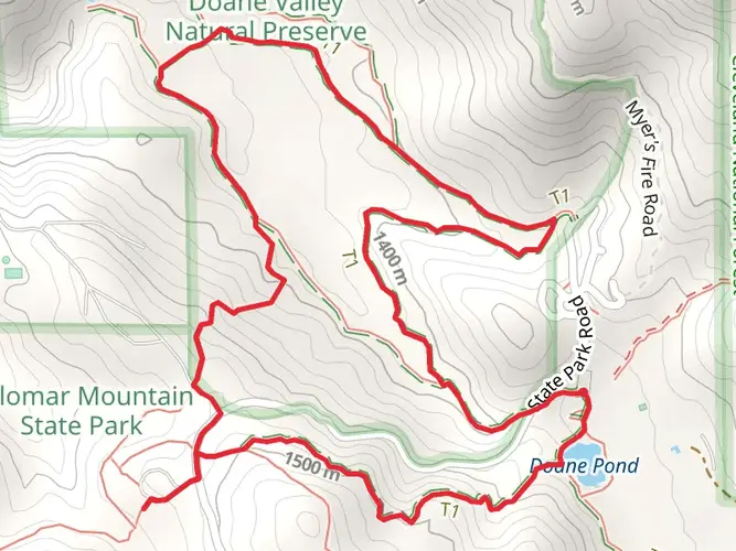
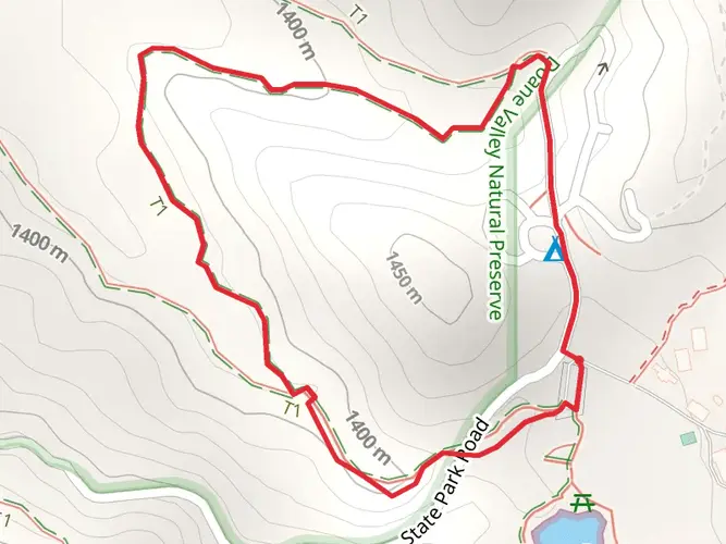
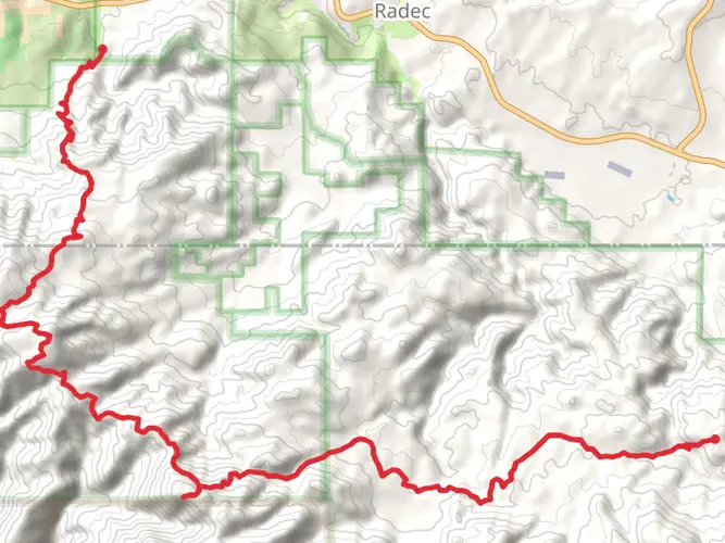
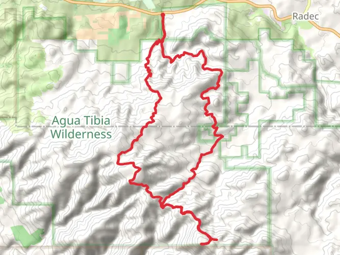
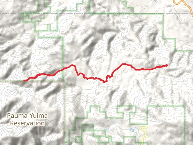
Nestled in the scenic landscapes of Riverside County, California, the High Point and Aguanga Mountain trail offers an invigorating journey through diverse terrains and breathtaking vistas. This point-to-point trail stretches approximately 40 kilometers (about 25 miles) with an elevation gain of around 1,300 meters (approximately 4,265 feet), making it a moderately challenging adventure for hikers seeking both physical exertion and natural beauty.
Getting There
The trailhead is conveniently located near Riverside County. For those traveling by car, you can reach the starting point by heading towards the vicinity of Temecula, California. From there, follow the signs to the Cleveland National Forest, where the trail begins. If you prefer public transport, the nearest major hub is the city of Riverside. From Riverside, you can take a combination of buses and local transit options to reach Temecula, and then arrange for a taxi or rideshare to the trailhead.
Trail Highlights
As you embark on this journey, the trail initially meanders through lush chaparral and oak woodlands, providing a serene start to your hike. The first few kilometers offer a gentle ascent, allowing you to acclimate to the terrain while enjoying the rich biodiversity of the area. Keep an eye out for native wildlife such as mule deer, bobcats, and a variety of bird species that inhabit this region.
Mid-Trail Features
Around the halfway mark, approximately 20 kilometers (12.4 miles) in, the trail begins to climb more steeply as you approach the summit of Aguanga Mountain. This section is characterized by rocky outcrops and panoramic views of the surrounding valleys and distant peaks. The elevation gain becomes more pronounced here, so be prepared for a more strenuous ascent. The effort is well worth it, as the summit offers a stunning 360-degree view, perfect for a well-deserved rest and photo opportunity.
Historical Significance
The region surrounding the High Point and Aguanga Mountain trail is steeped in history. It was once home to the indigenous Luiseño people, who thrived in this area long before European settlers arrived. As you hike, you may come across remnants of their presence, such as grinding stones and other artifacts. Additionally, the trail passes through parts of the Cleveland National Forest, which was established in 1908 and has played a crucial role in the conservation of Southern California's natural landscapes.
Navigation and Safety
Given the trail's length and elevation changes, it's advisable to use a reliable navigation tool like HiiKER to ensure you stay on course. The trail is well-marked, but having a digital map can provide extra assurance, especially in areas where the path may become less distinct. Always carry sufficient water, snacks, and sun protection, as the California sun can be intense, particularly in exposed sections of the trail.
Embarking on the High Point and Aguanga Mountain trail promises a rewarding experience filled with natural wonders and historical insights. Whether you're a seasoned hiker or someone looking to challenge yourself, this trail offers a memorable adventure through one of California's most picturesque regions.
AI Planner
Days planned around your pace, with somewhere to stay each night.

What to expect?
Activity types
Comments and Reviews
User comments, reviews and discussions about the High Point and Aguanga Mountain, California.
average rating out of 5
0 rating(s)