Download
3D Flyover
Add to list
More
1.2 km
~20 min
56 m
Loop
“Embark on a scenic, accessible hike through Riverside's diverse landscapes and rich history on the Emergency Access Road Loop.”
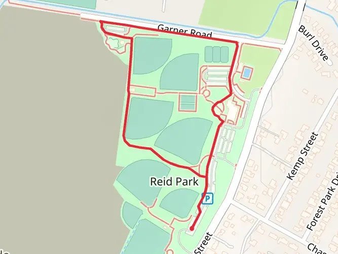
The Emergency Access Road Loop is a relatively short but engaging trail located near Riverside County, California. Spanning approximately 1 kilometer (0.62 miles), this loop trail offers a unique experience with minimal elevation gain, making it accessible for hikers of varying abilities. Despite its medium difficulty rating, the trail provides a good workout due to its terrain.
Getting There
To reach the trailhead, hikers can drive to the nearest known landmark, which is the Riverside County Park. There is parking available near the park, from where the trailhead is easily accessible. For those opting for public transport, local bus services frequently run to Riverside County Park, and from there, the trailhead is just a short walk away.
Trail Experience
As you embark on the Emergency Access Road Loop, you'll notice the trail is well-defined and marked, which makes navigation straightforward. Hikers can use the HiiKER app to follow the trail's progress and ensure they're on the right path. The loop meanders through a variety of landscapes, offering a mix of sun and shade as it winds through open areas and patches of woodland.
Flora and Fauna
The trail is home to a diverse range of plant and animal life. Hikers may spot local bird species, lizards, and if lucky, the occasional deer. The plant life along the trail is typical of the Southern California region, with chaparral shrubbery and native wildflowers, especially vibrant in the spring months.
Historical Significance
The region around Riverside County is rich in history, with the trail itself running through areas that were once used for various purposes by indigenous peoples and early settlers. While hiking, one can reflect on the historical significance of the land, imagining the stories and events that unfolded in the area.
Trail Tips
Before setting out, hikers should prepare for the trail conditions. While the elevation gain is negligible, the terrain can be uneven, so wearing proper hiking boots is recommended. The Southern California sun can be intense, even on a short loop like this, so sunscreen, a hat, and plenty of water are essential. Lastly, always check the weather conditions before your hike to ensure a safe and enjoyable experience.
By following these guidelines and being prepared, hikers can fully enjoy the Emergency Access Road Loop and the natural beauty it has to offer.

What to expect?
Activity types
Comments and Reviews
User comments, reviews and discussions about the Emergency Access Road Loop, California.
4.33
average rating out of 5
3 rating(s)