Download
Preview
Add to list
More
5.2 km
~1 hrs 25 min
228 m
Loop
“Embark on the Bluff Loop Trail for a scenic 5 km hike rich in beauty and history.”
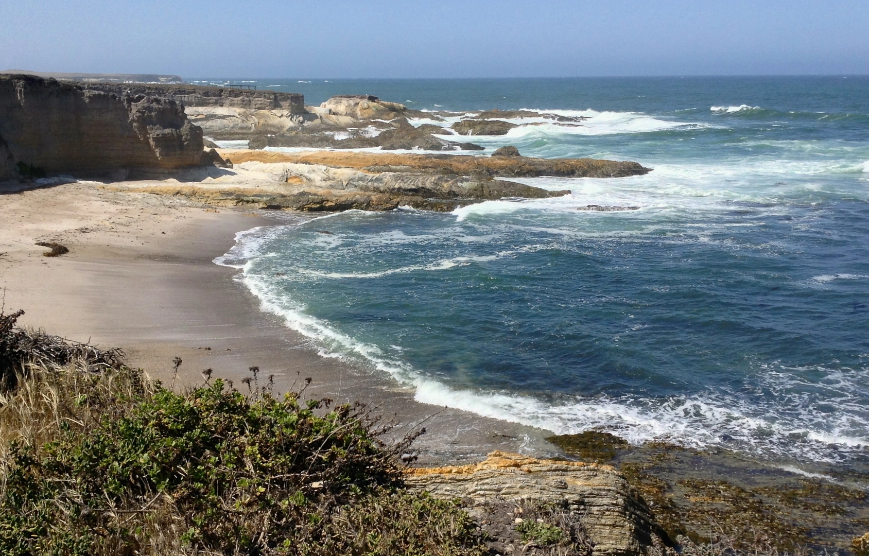
Starting your adventure near Orange County, California, the Bluff Loop Trail offers a delightful 5 km (approximately 3.1 miles) loop with an elevation gain of around 200 meters (656 feet). This medium-difficulty trail is perfect for those looking to enjoy a moderately challenging hike with rewarding views and diverse natural features.
Getting There
To reach the trailhead, you can drive or use public transportation. If driving, head towards the nearest known address, which is the Peter and Mary Muth Interpretive Center at 2301 University Dr, Newport Beach, CA 92660. From there, it's a short drive to the trailhead. For those using public transport, take the Orange County Transportation Authority (OCTA) bus routes that stop near the interpretive center, and then proceed to the trailhead.
Trail Highlights
As you embark on the Bluff Loop Trail, you'll quickly find yourself immersed in a landscape rich with both natural beauty and historical significance. The trail meanders through coastal sage scrub and chaparral, offering hikers a chance to see a variety of native plants and wildlife. Keep an eye out for California quail, mule deer, and the occasional bobcat.
Significant Landmarks
About 1 km (0.6 miles) into the hike, you'll come across a scenic overlook that provides stunning views of the Upper Newport Bay. This estuary is one of the largest coastal wetlands in Southern California and serves as a critical habitat for numerous bird species. Bring your binoculars if you're a bird-watching enthusiast.
Historical Significance
The region around the Bluff Loop Trail has a rich history. The Upper Newport Bay was once inhabited by the Tongva people, who utilized the estuary for fishing and gathering resources. As you hike, you might notice interpretive signs that provide more information about the indigenous history and the ecological importance of the area.
Navigation and Safety
The trail is well-marked, but it's always a good idea to have a reliable navigation tool. HiiKER is an excellent app for this purpose, offering detailed maps and real-time tracking to ensure you stay on course.
Final Stretch
As you near the end of the loop, around the 4 km (2.5 miles) mark, you'll begin a gentle descent back towards the trailhead. This section offers panoramic views of the surrounding hills and valleys, making it a perfect spot for a final photo opportunity before completing your hike.
Whether you're a seasoned hiker or a weekend warrior, the Bluff Loop Trail provides a rewarding experience with its combination of natural beauty, wildlife, and historical context.

What to expect?
Activity types
Comments and Reviews
User comments, reviews and discussions about the Bluff loop Trail, California.
4.8
average rating out of 5
5 rating(s)