Download
3D Flyover
Add to list
More
8.4 km
~2 hrs 25 min
439 m
Out and Back
“Embark on a scenic 8km hike through Tahoe's history and nature, suitable for the moderately fit.”
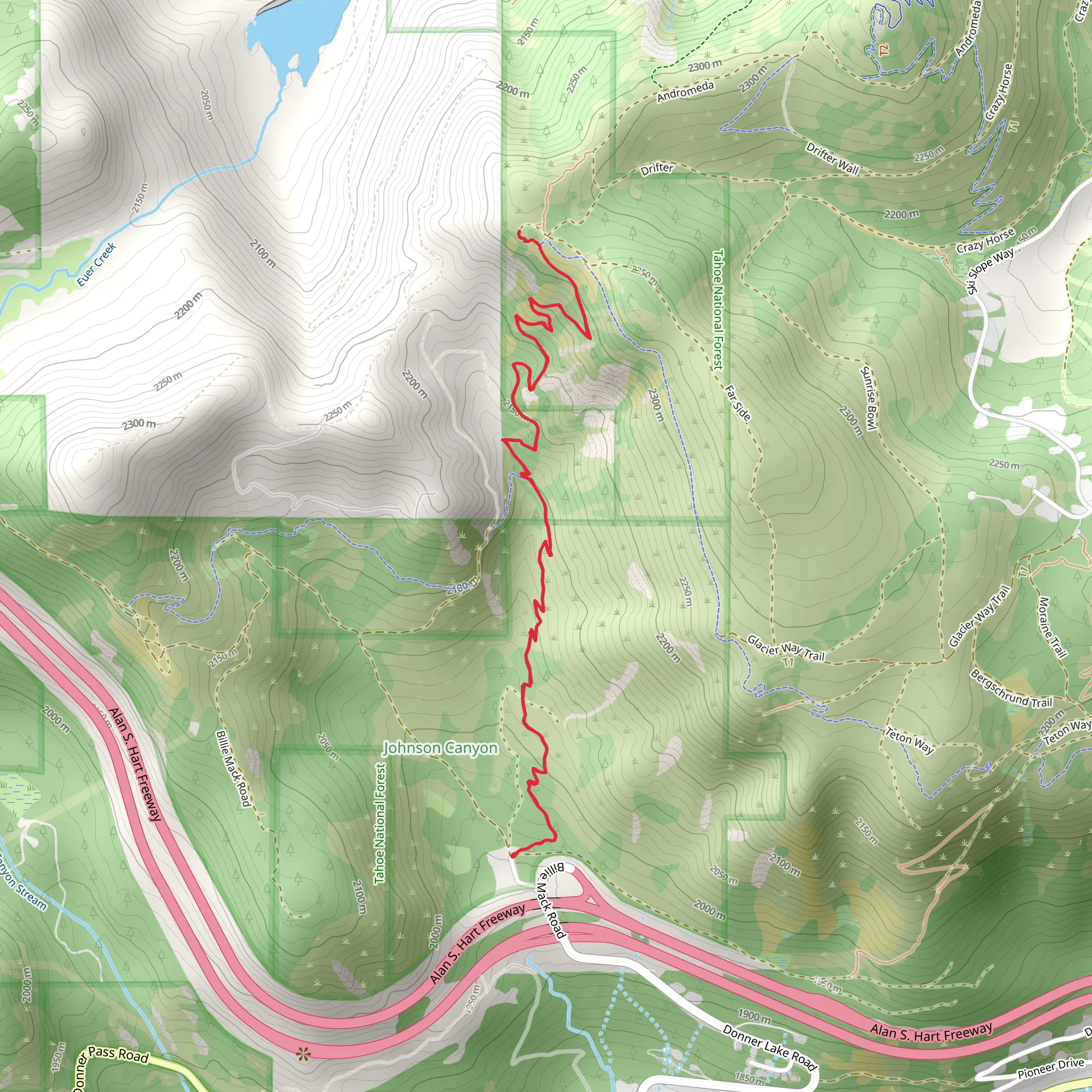
The Wendin Way Access Trail combined with the Donner Lake Rim Trail offers hikers a scenic journey through the Tahoe National Forest, with the trailhead conveniently located near Nevada County, California. Spanning approximately 8 kilometers (about 5 miles) and featuring an elevation gain of around 400 meters (roughly 1,300 feet), this out-and-back trail is rated as medium difficulty, making it accessible to hikers with a reasonable level of fitness.
Getting to the Trailhead To reach the starting point of the hike, you can drive to the trailhead located near the intersection of South Shore Drive and Donner Pass Road, close to Donner Lake. For those relying on public transportation, options may be limited, so it's advisable to check local transit schedules or consider taxi services to reach the trailhead.
Navigating the Trail As you embark on your hike, the Wendin Way Access Trail serves as your gateway, meandering through mixed conifer forests that offer a canopy of shade. The trail is well-marked, but carrying a navigation tool like HiiKER on your mobile device can help ensure you stay on the right path and can track your progress.
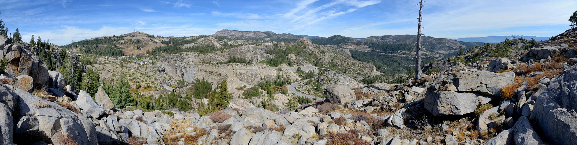
Natural Features and Wildlife The trail boasts a diverse array of flora and fauna. Keep an eye out for local wildlife such as mule deer, black bears, and a variety of bird species. The forest floor is dotted with wildflowers in the spring and summer, adding splashes of color to the verdant landscape. As you gain elevation, you'll be treated to stunning views of Donner Lake and the surrounding Sierra Nevada mountains.
Historical Significance The region is steeped in history, most notably the story of the Donner Party, pioneers who became snowbound in the area during the winter of 1846-1847. As you hike, consider the historical significance of the landscape and the challenges faced by early settlers.
Landmarks and Points of Interest Approximately halfway through the hike, you'll reach a junction with the Donner Lake Rim Trail. This is a good spot to take a break and enjoy the panoramic vistas. The trail continues to undulate through the high country, offering glimpses of the Pacific Crest Trail and Mount Judah.
Preparation and Safety Before setting out, ensure you have adequate water, sun protection, and layers to adapt to changing weather conditions. The trail can be rocky and uneven in places, so sturdy hiking boots are recommended. Always let someone know your hiking plans and expected return time.
Remember, the trail is shared with mountain bikers and, in winter, snowshoers, so stay alert and practice good trail etiquette. Lastly, always check current trail conditions and weather forecasts before your hike to ensure a safe and enjoyable experience.
What to expect?
Activity types
Comments and Reviews
User comments, reviews and discussions about the Wendin Way Access Trail and Donner Lake Rim Trail, California.
4.5
average rating out of 5
2 rating(s)
