Download
3D Flyover
Add to list
More
13.5 km
~5 hrs 2 min
1405 m
Out and Back
“Embark on a historic, biodiverse hike to Twin Peaks, offering challenging ascents and stunning Monterey vistas.”
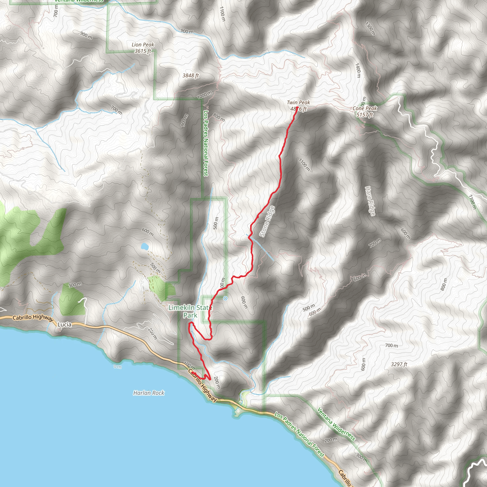
Embarking on the Twin Peak via Twitchell Road trail, hikers will find themselves near Monterey County, California, where the journey begins. This out-and-back trail spans approximately 13 kilometers (about 8 miles) and features an elevation gain of roughly 1400 meters (around 4600 feet), presenting a medium difficulty level that caters to those with some hiking experience.
Getting to the Trailhead
To reach the trailhead, if you're driving, you'll want to navigate towards Monterey County. The starting point is accessible via local roads that branch off from the more prominent highways in the area. For those relying on public transportation, check the local transit schedules for buses that get you closest to the trailhead, and plan for a possible short walk or taxi ride from the nearest bus stop.
The Hike Itself
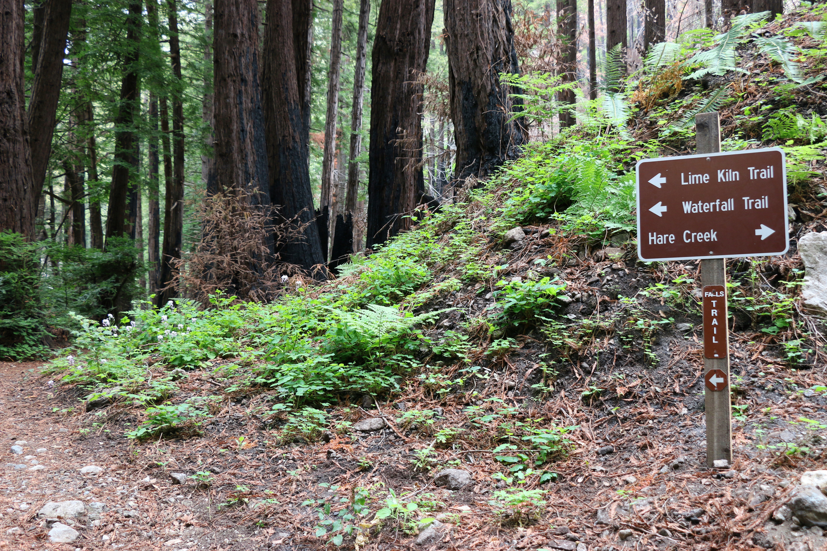
As you set off from the trailhead, the path will lead you through a diverse landscape, offering a mix of terrains that include both shaded forested areas and more exposed sections. The initial part of the trail is a gradual ascent, allowing hikers to warm up before the more challenging inclines.
Flora and Fauna
Throughout the hike, you'll be surrounded by the rich biodiversity of the region. Keep an eye out for the local wildlife, which includes deer, foxes, and a variety of bird species. The trail is also home to a wide array of plant life, from towering trees to delicate wildflowers, especially vibrant during the spring months.
Historical Significance
The area around Monterey County is steeped in history, with the trail itself offering a glimpse into the past. The region was once inhabited by Native American tribes, and later became a part of Spanish and then Mexican territories before joining the United States. Hikers interested in the historical context may appreciate the sense of continuity between past and present as they traverse the same landscapes that have been walked for centuries.
Navigational Tools
For navigation, hikers are encouraged to use the HiiKER app, which provides detailed maps and trail information. It's a valuable tool for staying on track and being aware of upcoming changes in terrain or elevation.
Landmarks and Scenic Views
As you approach the twin peaks, the trail becomes steeper and more demanding. However, the effort is rewarded with panoramic views of the surrounding area. The peaks themselves serve as a significant landmark, offering a sense of accomplishment upon arrival. From this vantage point, on a clear day, you can enjoy breathtaking vistas that may include glimpses of the Pacific Ocean.
Preparation and Safety
Before setting out, ensure you're well-prepared with adequate water, snacks, and layers of clothing to adapt to changing weather conditions. The trail can be quite exposed, so sunscreen and a hat are recommended. Always let someone know your hiking plan and expected return time for safety.
Remember, the Twin Peak via Twitchell Road trail offers a rewarding experience for those looking to immerse themselves in the natural beauty and historical richness of Monterey County. Whether you're a local or a visitor, this hike is a splendid way to spend a day exploring the great outdoors.
What to expect?
Activity types
Comments and Reviews
User comments, reviews and discussions about the Twin Peak via Twitchell Road, California.
average rating out of 5
0 rating(s)
