Mount Pinos, Sawmill Mountain and Grouse Mountain via Vincent Tumamait Trail
Download
Preview
Add to list
More
16.1 km
~4 hrs 32 min
802 m
Loop
“The Vincent Tumamait Trail offers stunning views, rich biodiversity, and historical insights for moderately experienced hikers.”
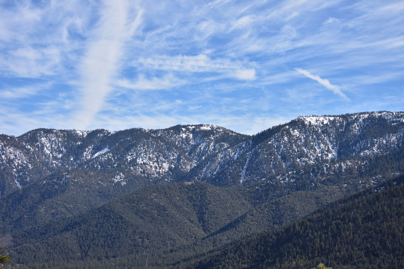
Starting your adventure near Kern County, California, the Vincent Tumamait Trail offers a captivating loop that spans approximately 16 kilometers (10 miles) with an elevation gain of around 800 meters (2,625 feet). This trail is rated as medium difficulty, making it suitable for moderately experienced hikers.
Getting There
To reach the trailhead, you can drive to the Chula Vista Campground, which is the nearest significant landmark. If you're using public transport, the closest major city is Bakersfield, California. From Bakersfield, you can take a bus to Frazier Park and then a taxi or rideshare service to Chula Vista Campground. Ensure you have a reliable navigation tool like HiiKER to guide you to the exact starting point.
Trail Overview
The trail begins at Chula Vista Campground, where you'll find ample parking and basic amenities. As you set off, you'll be greeted by a well-marked path that quickly immerses you in the serene beauty of the Los Padres National Forest. The initial section is relatively gentle, allowing you to acclimate to the altitude and enjoy the lush surroundings.
Key Landmarks and Elevation
- Mount Pinos (3.2 km / 2 miles in): The first significant landmark is Mount Pinos, standing at an elevation of 2,690 meters (8,825 feet). This peak offers panoramic views of the surrounding valleys and is a popular spot for stargazing due to its clear skies.
- Sawmill Mountain (6.4 km / 4 miles in): Continuing along the trail, you'll reach Sawmill Mountain, which is slightly higher at 2,712 meters (8,898 feet). The ascent is more challenging here, with steeper inclines and rocky terrain. Keep an eye out for the summit marker, a wooden sign that signifies you've reached the top.
- Grouse Mountain (9.6 km / 6 miles in): The final peak on this loop is Grouse Mountain, at an elevation of 2,680 meters (8,793 feet). The trail to Grouse Mountain is less traveled, offering a more secluded experience. The descent from Grouse Mountain is gradual, leading you back towards the starting point.
Flora and Fauna
The trail is rich in biodiversity. You'll traverse through dense forests of Jeffrey pine, white fir, and incense cedar. In spring and early summer, the meadows are adorned with wildflowers like lupines and Indian paintbrush. Wildlife is abundant, with chances to spot mule deer, black bears, and a variety of bird species, including the rare California condor.
Historical Significance
The Vincent Tumamait Trail is named after a respected Chumash elder, Vincent Tumamait, who was instrumental in preserving the cultural heritage of the Chumash people. The area is historically significant as it was once a vital region for the Chumash, who utilized the land for hunting and gathering. Interpretive signs along the trail provide insights into the Chumash way of life and their deep connection to the land.
Preparation and Safety
Given the elevation and varying terrain, it's crucial to be well-prepared. Carry sufficient water, snacks, and layers of clothing to adapt to changing weather conditions. The trail can be navigated using HiiKER, which provides detailed maps and real-time updates. Always check the weather forecast before heading out and inform someone of your hiking plans.
This trail offers a rewarding experience with its stunning vistas, rich biodiversity, and historical significance. Whether you're a seasoned hiker or looking to challenge yourself, the Vincent Tumamait Trail promises an unforgettable adventure.

What to expect?
Activity types
Comments and Reviews
User comments, reviews and discussions about the Mount Pinos, Sawmill Mountain and Grouse Mountain via Vincent Tumamait Trail, California.
4.57
average rating out of 5
7 rating(s)