Download
3D Flyover
Add to list
More
6.5 km
~1 hrs 32 min
144 m
Out and Back
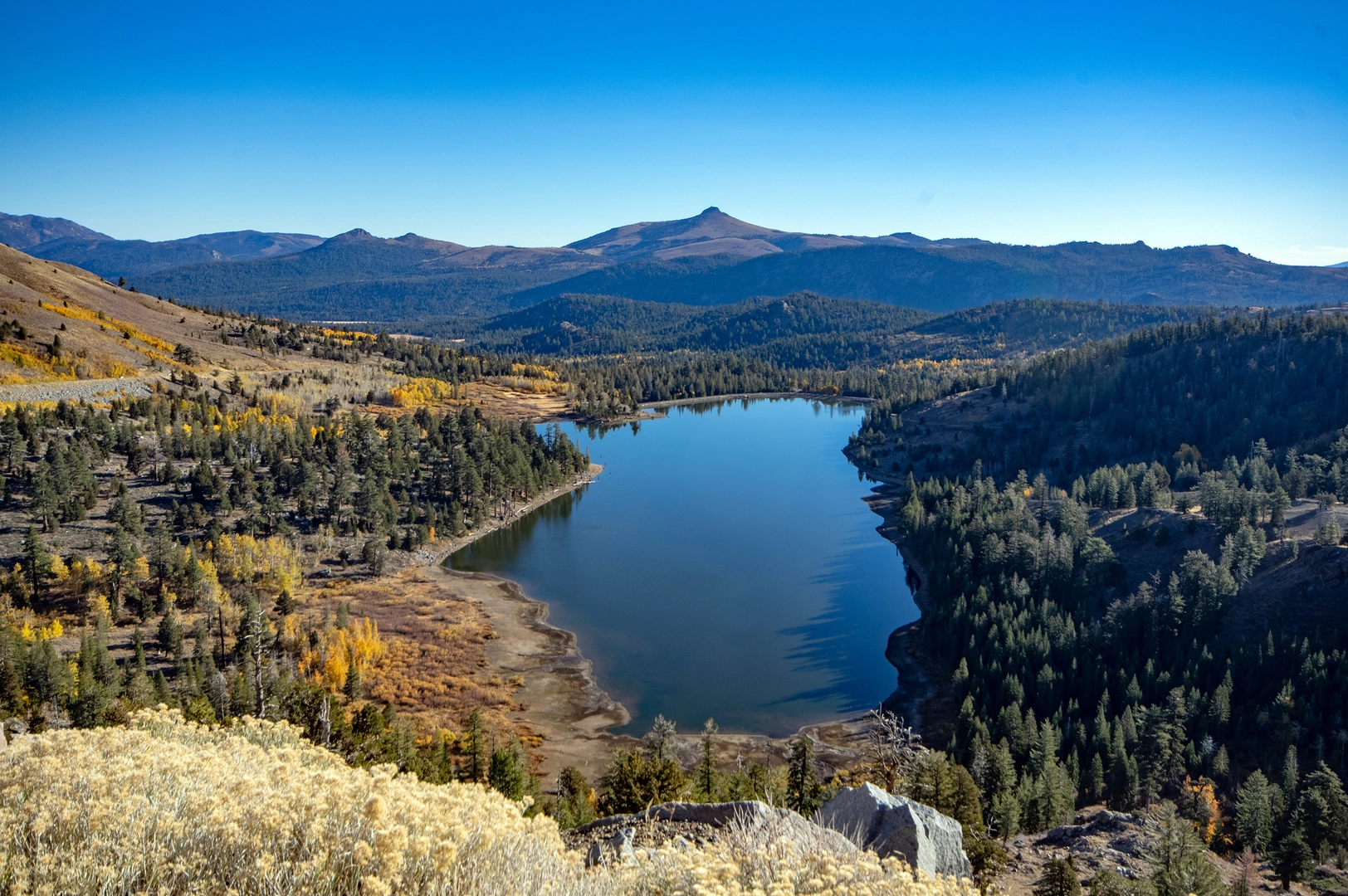
“Embark on the Forestdale Creek Walk: 6 km of lush landscapes, historical landmarks, and moderate hiking challenges.”
Starting your adventure near Alpine County, California, the Forestdale Creek Walk is an invigorating out-and-back trail that spans approximately 6 kilometers (around 3.7 miles) with an elevation gain of about 100 meters (328 feet). This medium-difficulty trail offers a blend of natural beauty, historical significance, and a moderate challenge suitable for most hikers.
Getting There
To reach the trailhead, you can drive or use public transportation. If you're driving, head towards the nearest known landmark, the Kirkwood Mountain Resort. From there, it's a short drive to the trailhead. For those using public transport, the nearest major transit hub is South Lake Tahoe. From South Lake Tahoe, you can take a local bus or arrange for a shuttle service to Kirkwood Mountain Resort, and then proceed to the trailhead.
Trail Overview
The trail begins with a gentle ascent, allowing you to ease into the hike. As you progress, you'll notice the lush greenery that characterizes the area. The first kilometer (0.6 miles) is relatively easy, with a gradual elevation gain of about 20 meters (65 feet). This section is perfect for warming up and getting accustomed to the terrain.
Significant Landmarks and Nature
Around the 2-kilometer (1.2 miles) mark, you'll encounter the first significant landmark: a picturesque meadow that bursts into a riot of colors during the spring and summer months. This meadow is a great spot for a short break and some photography. Keep an eye out for local wildlife such as deer, rabbits, and a variety of bird species that frequent this area.
Historical Significance
As you continue, you'll come across remnants of old mining operations. This region was once a bustling hub during the California Gold Rush in the mid-1800s. The old mining equipment and abandoned shafts serve as a poignant reminder of the area's rich history. Take a moment to reflect on the lives of the miners who once toiled here, hoping to strike it rich.
Navigational Tips
The trail is well-marked, but it's always a good idea to have a reliable navigation tool. HiiKER is an excellent app for this purpose, providing detailed maps and real-time updates to ensure you stay on track.
Wildlife and Flora
As you approach the 4-kilometer (2.5 miles) point, the trail becomes more challenging, with a steeper ascent of about 50 meters (164 feet) over the next kilometer (0.6 miles). This section takes you through a dense forest of pine and fir trees. The forest floor is often carpeted with wildflowers, especially in late spring and early summer. Be cautious of the occasional bear sightings in this area; it's advisable to make some noise to avoid surprising any wildlife.
Final Stretch
The final kilometer (0.6 miles) to the turnaround point is relatively flat, offering a serene walk along the banks of Forestdale Creek. The sound of the flowing water adds a tranquil ambiance to your hike. This is an ideal spot to rest, have a snack, and enjoy the natural beauty before heading back.
Return Journey
The return journey retraces your steps, offering a different perspective on the same beautiful landscapes. The descent is generally easier, allowing you to enjoy the scenery without the exertion of climbing.
This trail offers a perfect blend of natural beauty, historical intrigue, and moderate physical challenge, making it a rewarding experience for any hiker.

What to expect?
Activity types
Comments and Reviews
User comments, reviews and discussions about the Forestdale Creek Walk, California.
4.5
average rating out of 5
2 rating(s)