Download
Preview
Add to list
More
4.1 km
~1 hrs 4 min
155 m
Out and Back
“Embark on the Grizzly Peak Trail for a scenic, moderately challenging hike steeped in natural beauty and history.”
Grizzly Peak Trail, nestled near Alameda County, California, offers a moderately challenging hike that spans approximately 4 kilometers (about 2.5 miles) with an elevation gain of around 100 meters (328 feet). This out-and-back trail is a favorite among locals and visitors for its stunning vistas and the opportunity to immerse oneself in the natural beauty of the region.
Getting There
To reach the trailhead, hikers can drive to the designated parking area located off Grizzly Peak Blvd. For those opting for public transportation, the nearest bus stops are within a few miles of the trailhead, so a taxi or bike ride might be necessary to cover the last stretch.
The Hike
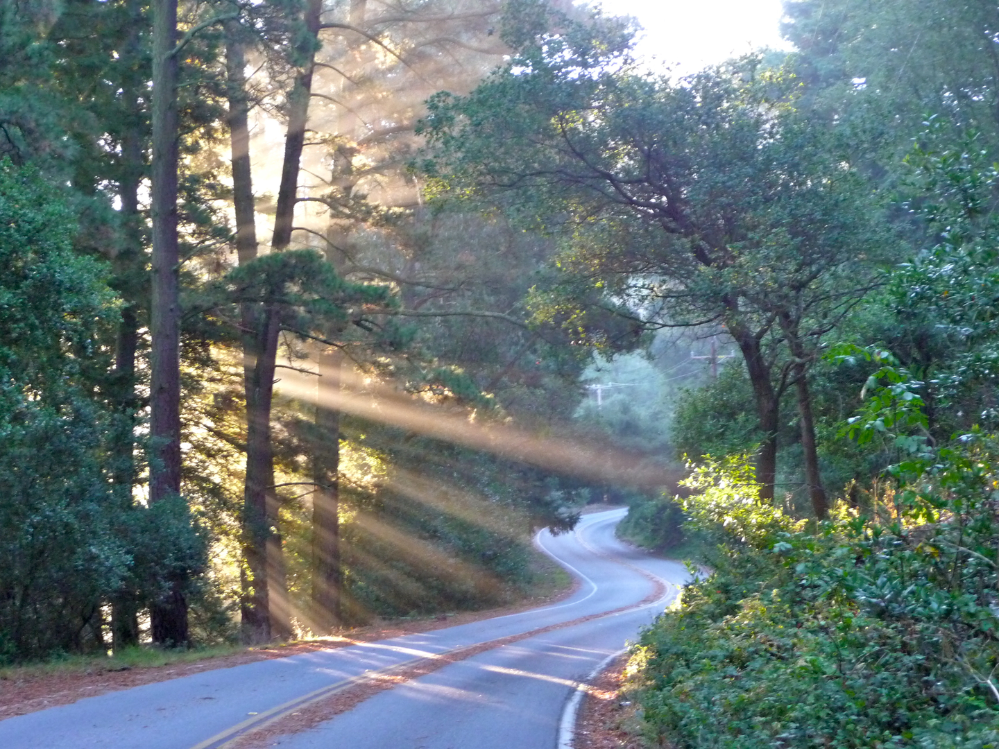
As you embark on the Grizzly Peak Trail, you'll be greeted by a well-defined path that meanders through a landscape dotted with California's signature chaparral and coastal scrub. The trail is well-maintained, but it's advisable to download the trail map on HiiKER beforehand to ensure you stay on the right path.
Flora and Fauna
The area is home to a diverse array of plant life, including manzanita, coyote brush, and various species of oak. Wildlife sightings are common, so keep an eye out for deer, foxes, and numerous bird species. Remember to respect the wildlife and maintain a safe distance.
Landmarks and Views
As you gain elevation, the trail offers increasingly spectacular views of the San Francisco Bay and the surrounding hills. On a clear day, you might even catch a glimpse of the Golden Gate Bridge in the distance. The trail's namesake, Grizzly Peak, is a notable landmark that provides a panoramic backdrop for your hike.
Historical Significance
The region holds historical significance as it was once inhabited by the indigenous Ohlone people. The area around Grizzly Peak has also played a role in the development of the East Bay's park system and is a testament to the conservation efforts that have preserved these lands for public enjoyment.
Preparation and Safety
Before setting out, ensure you have adequate water, sun protection, and layers to adapt to changing weather conditions. The trail can be rocky in places, so sturdy hiking boots are recommended. Cell service can be spotty, so plan accordingly.
Navigation
For navigation purposes, HiiKER is a reliable tool to keep track of your location and progress along the trail. It's always a good idea to have a digital map downloaded on your device in case you encounter areas with limited reception.
Remember to leave no trace, pack out what you pack in, and enjoy the natural splendor that Grizzly Peak Trail has to offer.

What to expect?
Activity types
Comments and Reviews
User comments, reviews and discussions about the Grizzly Peak Trail, California.
5.0
average rating out of 5
1 rating(s)