Download
3D Flyover
Add to list
More
29.1 km
~6 hrs 47 min
589 m
Loop
“Share your trailhead details, and I’ll paint a planning-ready loop with vistas, textures, and caveats.”
I’m missing a few key pieces of information needed to write this accurately (especially the start location). Please paste either:
1) the start coordinates (lon/lat) for the trailhead (and any other points you have), or
2) a HiiKER link / GPX / route description, or
3) the country/region + nearest town for “Hike head: near …” (it looks cut off).
Once I have that, I’ll convert the coordinates to the nearest known address/landmark and produce a full planning-ready description for a ~29 km (≈18 mi), ~600 m (≈1,970 ft) medium loop, including: - how to reach the start by car and public transport - terrain and underfoot conditions - water/food considerations - key landmarks and viewpoints with approx. distance markers - nature/wildlife notes and any local hazards - historical context for the area - navigation guidance referencing HiiKER only
Send the lon/lat (preferably in the format -0.12345, 51.23456) and I’ll take it from there.

Surfaces
Unknown
Ground
Gravel
Asphalt
Dirt
Grass
Unpaved
Paved
Comments and Reviews
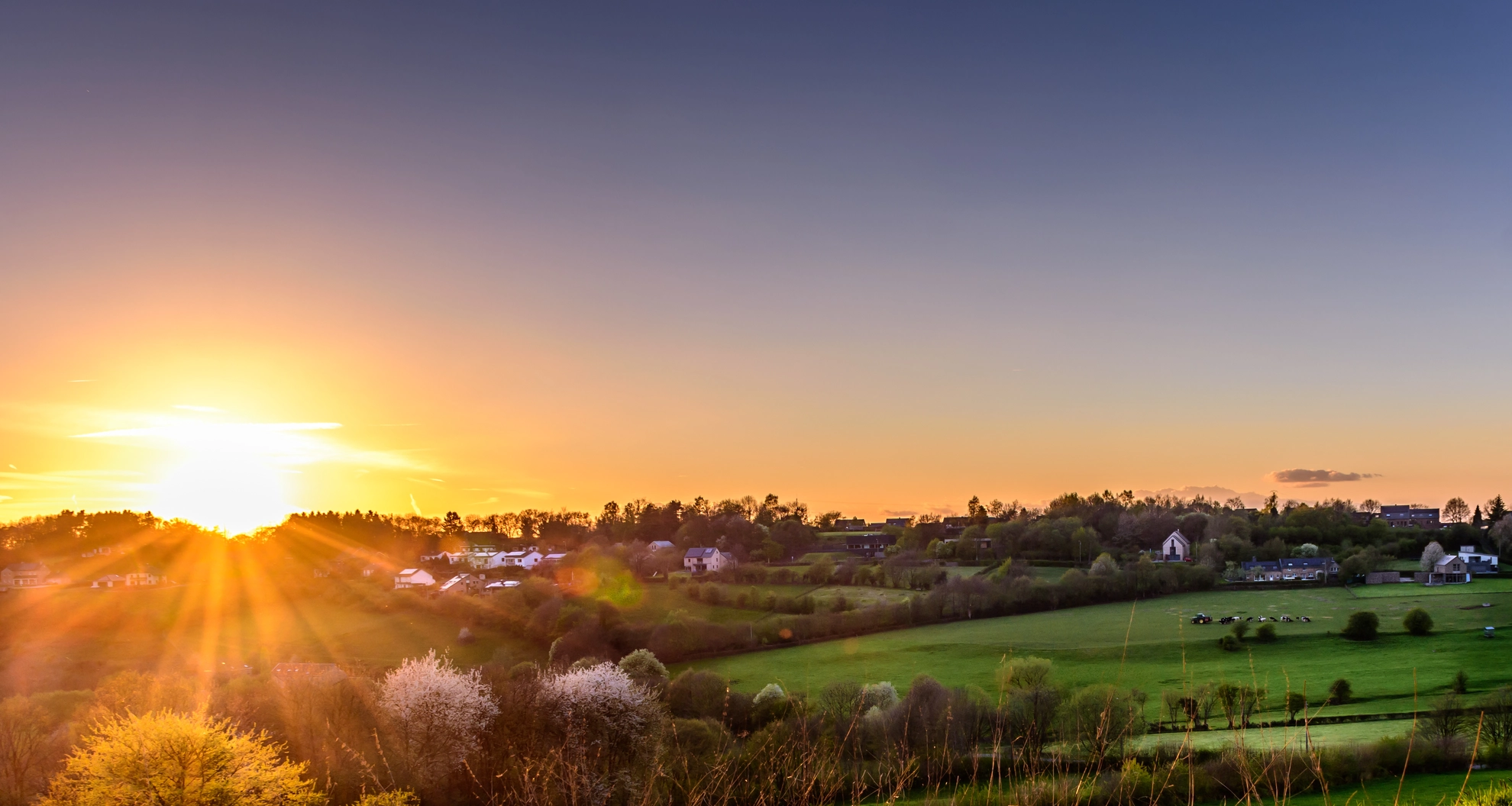
User comments, reviews and discussions about the Preuswald Loop, Belgium.
average rating out of 5
0 rating(s)