Download
3D Flyover
Add to list
More
Trail length
15.4 km
Time
~5 hrs 4 min
Elevation Gain
1196 m
Hike Type
Loop
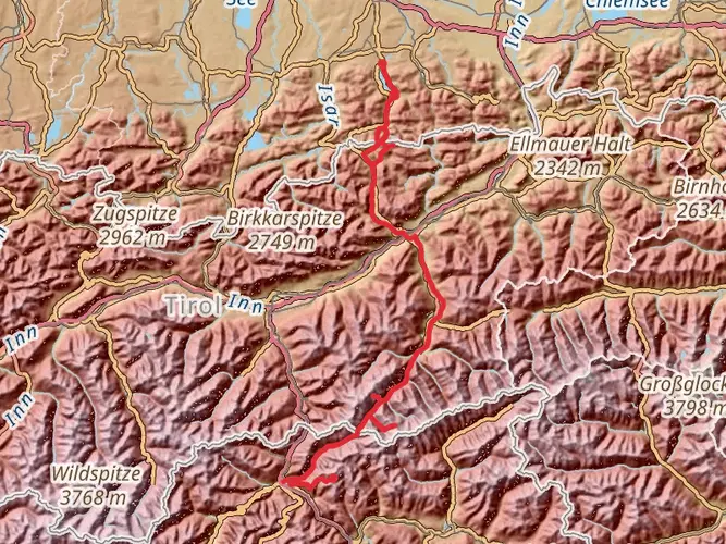
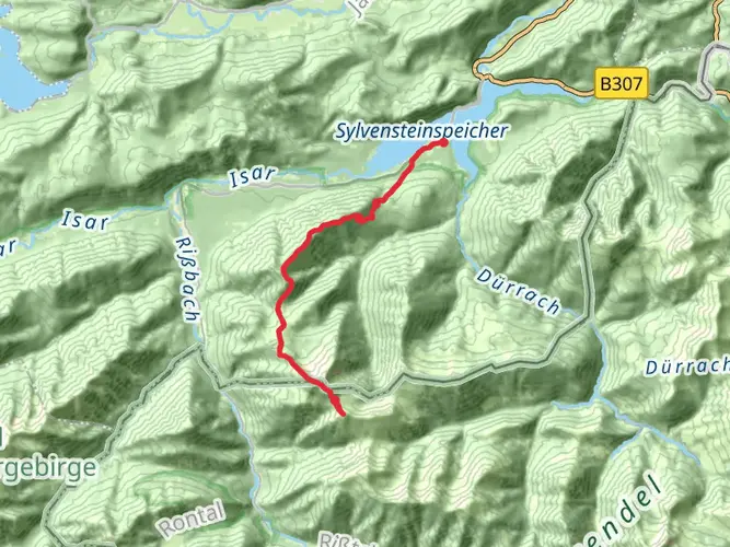
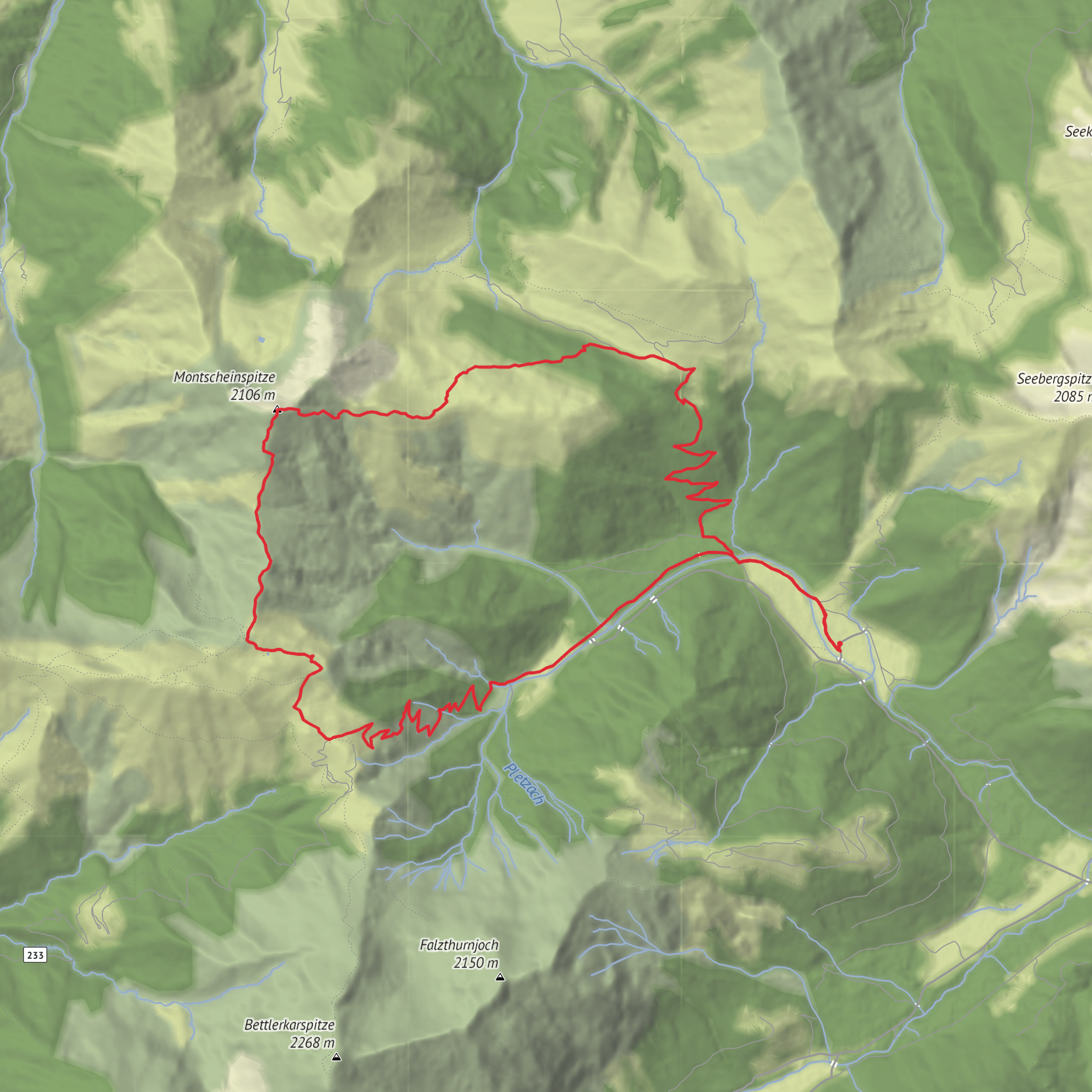
Randonnée exigeante au départ de Pertisau, boucle d’environ 15,4 km avec près de 1 200 m de dénivelé positif et négatif. L’itinéraire grimpe fortement depuis les rives du lac Achensee vers les hauteurs environnantes, offrant de beaux panoramas sur le lac et les sommets karstiques du Tyrol. Réservée aux randonneurs très entraînés, avec sections raides et descentes soutenues, mais de belles vues en récompense.

Created by
Vicporc
AI Planner
Days planned around your pace, with somewhere to stay each night.
Surfaces
Gravel
Unknown
Asphalt
Compacted Gravel
Comments and Reviews
User comments, reviews and discussions about the Mondscheinspitze, Austria.
average rating out of 5
0 rating(s)