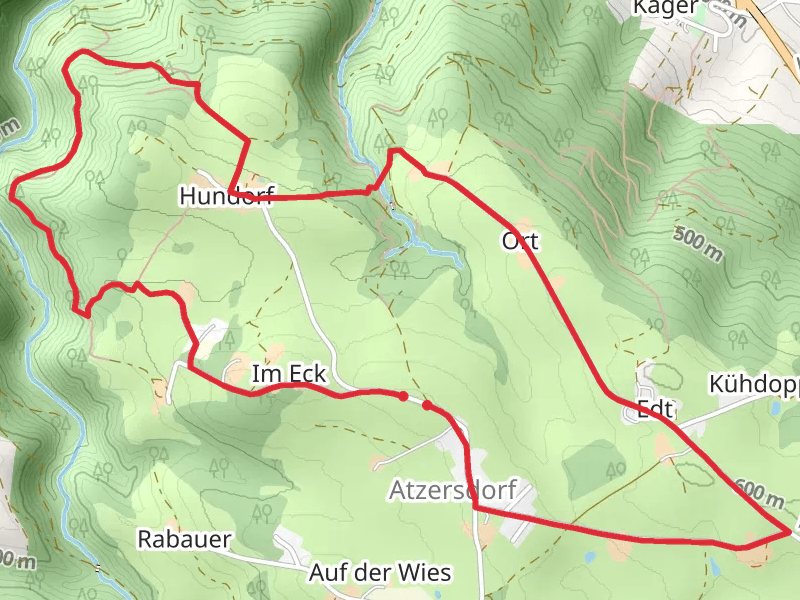
Hiking trails in Bezirk Schärding
Austria · 19 HiiKER Hikes
View Hikes on map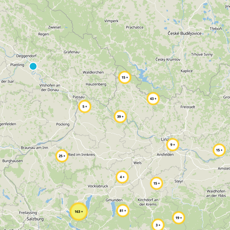


What to expect
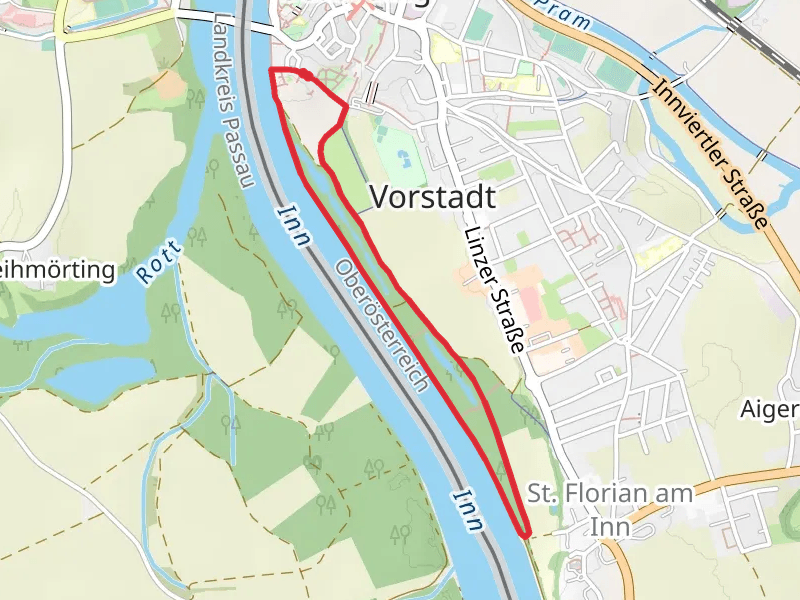
Check out some of the best hiking, walking and backpacking routes in Bezirk Schärding, Austria. The Kösslbachweg Loop - No 75 is the most popular trail. The trail with the highest elevation climb is the Jagabild-Haugstein-Hike and the trail with the least amount of climbing is the Schärdinger Innauen Loop. The longest trail is the Jagabild-Haugstein-Hike at 16.4 km. For a shorter adventure you can try the Hindinger Panorama Loop Path at 1.9 km. Get off line access to Water, History, Restaurant, and Bus Stop locations and much more with a Hiiker subscription.
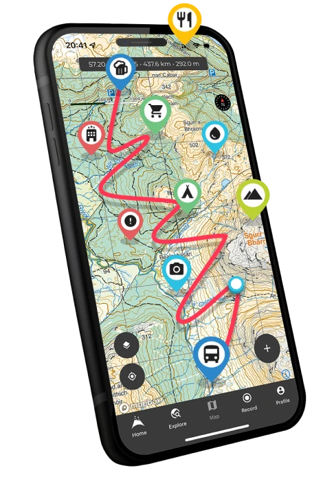
Be prepared for hiking in Austria with the HiiKER app